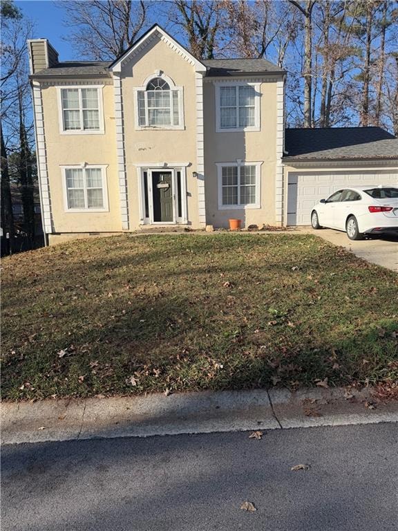
1395 Ling Dr Unit 2 Austell, GA 30168
Estimated payment $1,562/month
Highlights
- Open-Concept Dining Room
- Wood Flooring
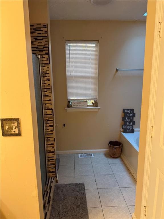
- Separate Shower in Primary Bathroom
- Deck
- Attic
- Breakfast Bar
About This Home
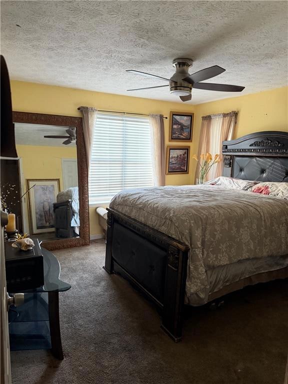
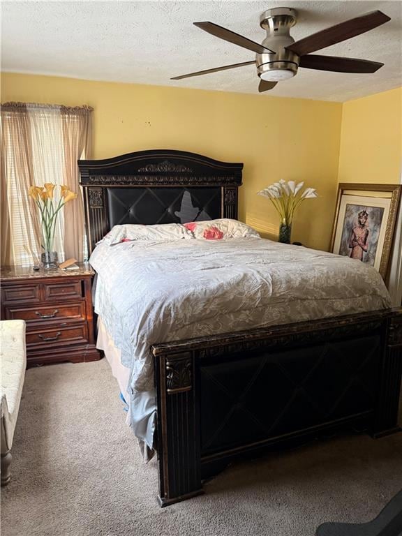
This charming 3-bedroom, 2.5-bath home sits on a quiet street in an established neighborhood and is ready for its next chapter. With solid bones and an open layout, this property offers the perfect canvas for creativity. Whether you're an investor searching for your next profitable project or a homeowner ready to customize your space, this home delivers the opportunity to build instant equity with simple upgrades like new flooring, fresh paint, and some exterior touches.
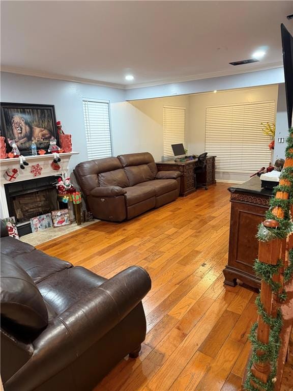
Enjoy a spacious living area, functional kitchen, comfortable bedrooms, and a backyard that’s great for relaxing or entertaining—once given a little TLC. The location is unbeatable: close to schools, shopping, restaurants, and easy highway access, making this an ideal rental, flip, or starter home.
Home Details
Home Type
- Single Family
Est. Annual Taxes
- $2,380
Year Built
- Built in 1991
Lot Details
- 7,205 Sq Ft Lot
- Back and Front Yard
Parking
- 2 Car Garage
- Driveway
Interior Spaces
- 1,480 Sq Ft Home
- 2-Story Property
- Sound System
- Insulated Windows
- Living Room with Fireplace
- Open-Concept Dining Room
- Fire and Smoke Detector
- Attic
Kitchen
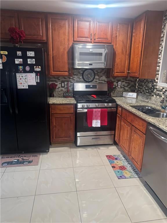
- Breakfast Bar
- Dishwasher
Flooring
- Wood
- Carpet
Bedrooms and Bathrooms
- 3 Bedrooms
- Separate Shower in Primary Bathroom
Laundry
- Laundry on main level
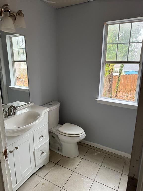
- Laundry in Bathroom
Outdoor Features
- Deck
- Exterior Lighting
Schools
- Bryant - Cobb Elementary School
- Lindley Middle School
- Pebblebrook High School
Utilities
- Central Heating and Cooling System
- Septic Tank
- Phone Available
- Cable TV Available
Community Details
- Devon Mills Subdivision
Listing and Financial Details
- Assessor Parcel Number 18048500430
Map
Home Values in the Area
Average Home Value in this Area
Tax History
| Year | Tax Paid | Tax Assessment Tax Assessment Total Assessment is a certain percentage of the fair market value that is determined by local assessors to be the total taxable value of land and additions on the property. | Land | Improvement |
|---|---|---|---|---|
| 2025 | $2,380 | $108,428 | $24,000 | $84,428 |
| 2024 | $2,510 | $114,332 | $24,000 | $90,332 |
| 2023 | $1,372 | $86,900 | $16,000 | $70,900 |
| 2022 | $1,931 | $86,900 | $16,000 | $70,900 |
| 2021 | $1,134 | $50,524 | $14,000 | $36,524 |
| 2020 | $1,134 | $50,524 | $14,000 | $36,524 |
| 2019 | $1,134 | $50,524 | $14,000 | $36,524 |
| 2018 | $954 | $42,288 | $8,000 | $34,288 |
| 2017 | $1,026 | $35,688 | $6,000 | $29,688 |
| 2016 | $798 | $27,748 | $4,000 | $23,748 |
| 2015 | $557 | $27,748 | $4,000 | $23,748 |
| 2014 | $255 | $17,408 | $0 | $0 |
Property History
| Date | Event | Price | List to Sale | Price per Sq Ft |
|---|---|---|---|---|
| 12/01/2025 12/01/25 | For Sale | $260,000 | -- | $176 / Sq Ft |
Purchase History
| Date | Type | Sale Price | Title Company |
|---|---|---|---|
| Foreclosure Deed | $91,000 | -- | |
| Deed | $138,000 | -- | |
| Deed | $94,900 | -- |
Mortgage History
| Date | Status | Loan Amount | Loan Type |
|---|---|---|---|
| Previous Owner | $131,100 | New Conventional | |
| Previous Owner | $92,053 | New Conventional |
Source: First Multiple Listing Service (FMLS)
MLS Number: 7688355
APN: 18-0485-0-043-0
- 6810 Panda Dr Unit B
- 1507 Locust Log Way
- 6811 Panda Dr Unit A
- 6854 Panda Ct Unit A
- 1320 Elowen Dr
- 6736 Ivy Log Dr
- 1211 Ling Way
- 7147 Walton Reserve Ln
- 6992 Ivy Pointe Row
- 1682 Walton Reserve Blvd
- Redbud-Townhome Plan at Park Center Pointe - Hometown Series
- Bayberry-Townhome Plan at Park Center Pointe - Hometown Series
- 1311 Park Center Cir
- Wisteria-Townhome Plan at Park Center Pointe - Hometown Series
- 1163 Park Center Cir
- 1736 Walton Reserve Way
- 1243 Blairs Pointe Dr Unit 3
- 6621 Ivy Log Dr
- 6621 Ivy Log Dr SW
- 1443 Devon Mill Way
- 1542 Elm Log Ct
- 1325 Riverside Pkwy
- 7073 Blairs View Dr
- 1631 Pecan Log Place
- 7250 Bridgeport Ct
- 7258 Silverton Trail
- 6702 Songwood Dr
- 6829 Ivy Log Dr SW
- 1101 Shimmering Ct
- 6662 S Dillon Rd
- 1184 Flamingo Dr
- 873 Revena Ln
- 865 Revena Ln
- 1246 Summerstone Trace
- 1333 Laura Ln
- 1757 Brandemere Dr SW
- 6563 Brandemere Way
