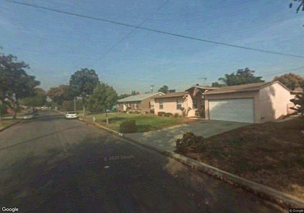
13951 Flomar Dr Whittier, CA 90605
South Whittier NeighborhoodEstimated Value: $833,000 - $878,000
3
Beds
2
Baths
1,462
Sq Ft
$584/Sq Ft
Est. Value
About This Home
This home is located at 13951 Flomar Dr, Whittier, CA 90605 and is currently estimated at $854,153, approximately $584 per square foot. 13951 Flomar Dr is a home located in Los Angeles County with nearby schools including Laurel Elementary School, East Whittier Middle School, and Whittier High School.
Ownership History
Date
Name
Owned For
Owner Type
Purchase Details
Closed on
Feb 16, 2017
Sold by
Adanto Rozanne
Bought by
Adanto Rozanne and The Rozanne Adanto Revocable Living Trus
Current Estimated Value
Purchase Details
Closed on
Dec 30, 2003
Sold by
Bowen Michelle G and Campagne Kimberly Ann
Bought by
Adanto Rozanne
Home Financials for this Owner
Home Financials are based on the most recent Mortgage that was taken out on this home.
Original Mortgage
$318,000
Outstanding Balance
$148,510
Interest Rate
5.88%
Mortgage Type
Purchase Money Mortgage
Estimated Equity
$705,643
Create a Home Valuation Report for This Property
The Home Valuation Report is an in-depth analysis detailing your home's value as well as a comparison with similar homes in the area
Home Values in the Area
Average Home Value in this Area
Purchase History
| Date | Buyer | Sale Price | Title Company |
|---|---|---|---|
| Adanto Rozanne | -- | None Available | |
| Adanto Rozanne | $348,000 | Orange Coast Title |
Source: Public Records
Mortgage History
| Date | Status | Borrower | Loan Amount |
|---|---|---|---|
| Open | Adanto Rozanne | $318,000 |
Source: Public Records
Tax History
| Year | Tax Paid | Tax Assessment Tax Assessment Total Assessment is a certain percentage of the fair market value that is determined by local assessors to be the total taxable value of land and additions on the property. | Land | Improvement |
|---|---|---|---|---|
| 2025 | $6,009 | $494,766 | $342,786 | $151,980 |
| 2024 | $6,009 | $485,065 | $336,065 | $149,000 |
| 2023 | $5,900 | $475,555 | $329,476 | $146,079 |
| 2022 | $5,759 | $466,231 | $323,016 | $143,215 |
| 2021 | $5,622 | $457,090 | $316,683 | $140,407 |
| 2019 | $5,490 | $443,535 | $307,291 | $136,244 |
| 2018 | $5,299 | $434,839 | $301,266 | $133,573 |
| 2016 | $4,941 | $417,955 | $289,568 | $128,387 |
| 2015 | $4,945 | $411,678 | $285,219 | $126,459 |
| 2014 | $4,895 | $403,614 | $279,632 | $123,982 |
Source: Public Records
Map
Nearby Homes
- 13840 Danbrook Dr
- 8901 Ocean View Ave
- 13649 Lanning Dr
- 8847 Ocean View Ave
- 13563 Carnell St
- 9308 Tarryton Ave
- 14351 Starbuck St
- 9344 Firebird Ave
- 13856 Mulberry Dr
- 13448 Dunton Dr
- 9834 Ahmann Ave
- 8646 Davista Dr
- 10035 Ben Hur Ave
- 10044 Ben Hur Ave
- 13527 Ramona Dr
- 9931 Rufus Ave
- 9551 Barkerville Ave
- 14021 Fernview St
- 13814 Mystic St
- 13701 Russell St
- 13957 Flomar Dr
- 13950 La Forge St
- 13944 La Forge St
- 13939 Flomar Dr
- 13963 Flomar Dr
- 13958 La Forge St
- 13938 La Forge St
- 13954 Flomar Dr
- 13948 Flomar Dr
- 13964 La Forge St
- 13940 Flomar Dr
- 13933 Flomar Dr
- 13969 Flomar Dr
- 13962 Flomar Dr
- 13932 La Forge St
- 13934 Flomar Dr
- 14002 La Forge St
- 13968 Flomar Dr
- 14001 Flomar Dr
- 13927 Flomar Dr
Your Personal Tour Guide
Ask me questions while you tour the home.