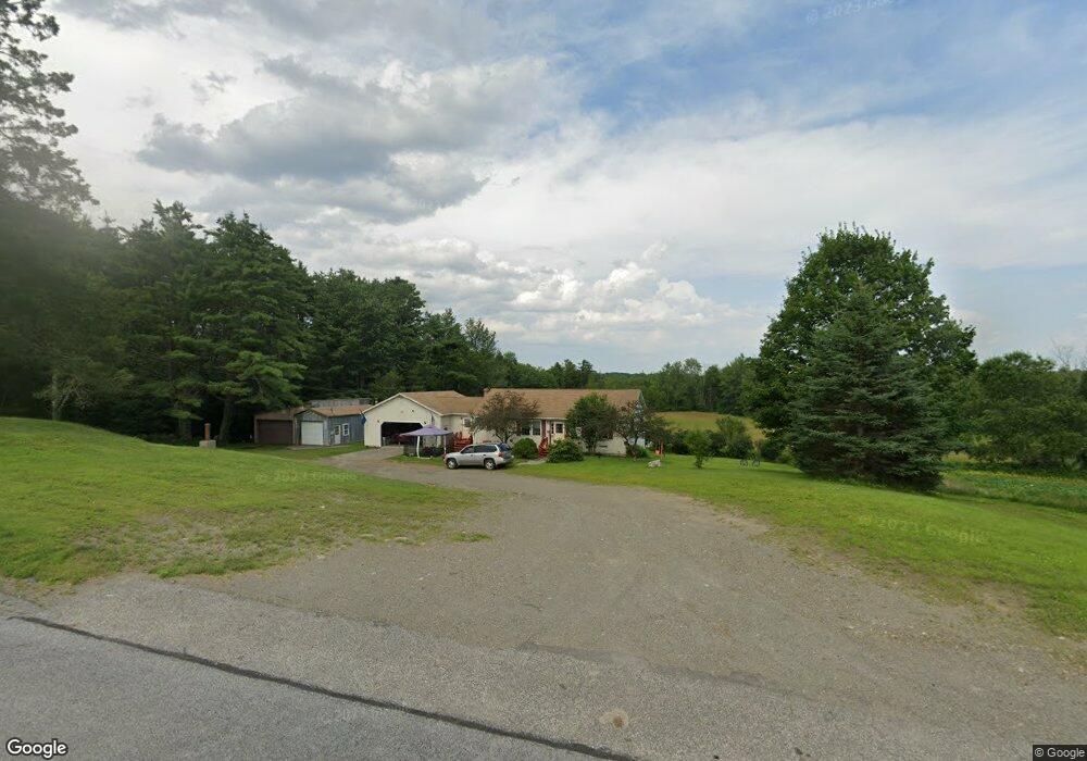
1396 Main St Corinth, ME 04427
Estimated Value: $237,000 - $310,000
3
Beds
2
Baths
1,232
Sq Ft
$215/Sq Ft
Est. Value
About This Home
This home is located at 1396 Main St, Corinth, ME 04427 and is currently estimated at $265,442, approximately $215 per square foot. 1396 Main St is a home with nearby schools including Central Community Elementary School and Central High School.
Ownership History
Date
Name
Owned For
Owner Type
Purchase Details
Closed on
Mar 25, 2022
Sold by
Moors Darlene P and Moors Daniel E
Bought by
Thompson Makayla M and Thompson Robert C
Current Estimated Value
Home Financials for this Owner
Home Financials are based on the most recent Mortgage that was taken out on this home.
Original Mortgage
$166,666
Outstanding Balance
$154,733
Interest Rate
3.69%
Mortgage Type
Purchase Money Mortgage
Estimated Equity
$110,709
Create a Home Valuation Report for This Property
The Home Valuation Report is an in-depth analysis detailing your home's value as well as a comparison with similar homes in the area
Home Values in the Area
Average Home Value in this Area
Purchase History
| Date | Buyer | Sale Price | Title Company |
|---|---|---|---|
| Thompson Makayla M | $165,000 | None Available |
Source: Public Records
Mortgage History
| Date | Status | Borrower | Loan Amount |
|---|---|---|---|
| Open | Thompson Makayla M | $166,666 |
Source: Public Records
Tax History
| Year | Tax Paid | Tax Assessment Tax Assessment Total Assessment is a certain percentage of the fair market value that is determined by local assessors to be the total taxable value of land and additions on the property. | Land | Improvement |
|---|---|---|---|---|
| 2024 | $2,437 | $180,500 | $36,100 | $144,400 |
| 2023 | $2,356 | $176,500 | $35,000 | $141,500 |
| 2022 | $2,195 | $129,100 | $21,000 | $108,100 |
| 2021 | $2,195 | $129,100 | $21,000 | $108,100 |
| 2020 | $2,066 | $129,100 | $21,000 | $108,100 |
| 2019 | $1,956 | $124,600 | $19,800 | $104,800 |
| 2018 | $1,981 | $124,600 | $19,800 | $104,800 |
| 2017 | $1,994 | $124,600 | $19,800 | $104,800 |
| 2016 | $1,956 | $124,600 | $19,800 | $104,800 |
| 2015 | $1,832 | $124,600 | $19,800 | $104,800 |
| 2014 | $1,819 | $124,600 | $19,800 | $104,800 |
| 2013 | $1,732 | $124,600 | $19,800 | $104,800 |
Source: Public Records
Map
Nearby Homes
- 748 Grant Rd
- 1156 Main St
- 40 Cookson
- 263 Mudgett Rd
- 465 Grant Rd
- Lot 24-07 Tate Rd
- 467 Hudson Hill Rd
- 34 Center St
- 32 Center St
- 503 Stetson Rd
- 398 Hudson Hill Rd
- 67 Stacey Ln
- 98 White Schoolhouse Rd
- 562 Ledge Hill Rd
- Lot 15-15 Brann Rd
- Lot 15-15 Stetson Rd E
- Lot #7 Kenduskeag Levant Rd
- 510 Kenduskeag Levant Rd
- 70 Clark Rd
- 189 Stetson Rd E
Your Personal Tour Guide
Ask me questions while you tour the home.