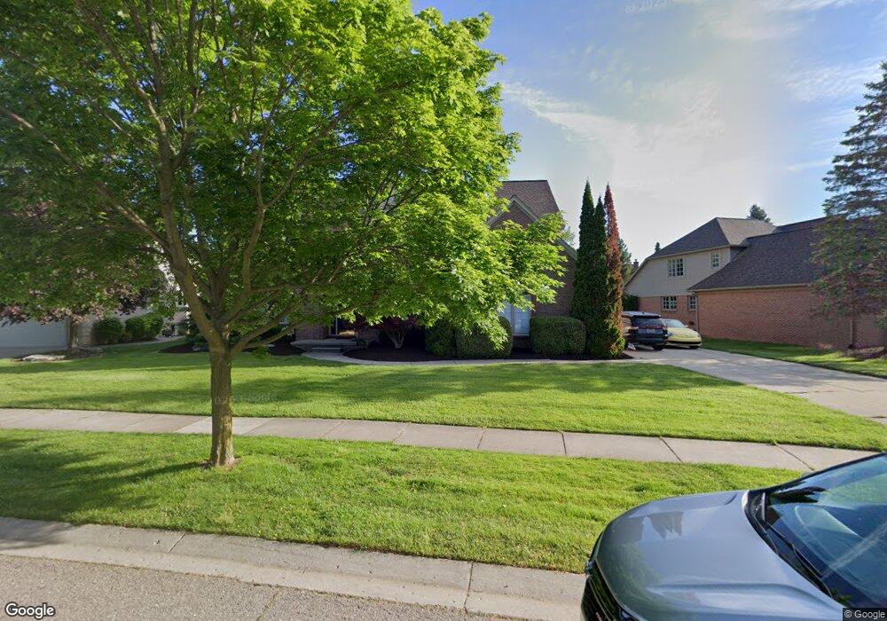
1396 Welland Dr Rochester, MI 48306
Estimated Value: $635,992 - $724,000
4
Beds
3
Baths
2,746
Sq Ft
$247/Sq Ft
Est. Value
About This Home
This home is located at 1396 Welland Dr, Rochester, MI 48306 and is currently estimated at $678,998, approximately $247 per square foot. 1396 Welland Dr is a home located in Oakland County with nearby schools including Hart Middle School, Hugger Elementary School, and Stoney Creek High School.
Ownership History
Date
Name
Owned For
Owner Type
Purchase Details
Closed on
Apr 28, 2005
Sold by
Aquique Rafael R and Aquique Yolanda
Bought by
Keever Michael A and Keever Jean Marie
Current Estimated Value
Home Financials for this Owner
Home Financials are based on the most recent Mortgage that was taken out on this home.
Original Mortgage
$336,000
Interest Rate
5.37%
Mortgage Type
Fannie Mae Freddie Mac
Purchase Details
Closed on
Dec 26, 2000
Sold by
Rochester Properties Dev
Bought by
L M Homes Inc
Home Financials for this Owner
Home Financials are based on the most recent Mortgage that was taken out on this home.
Original Mortgage
$269,000
Interest Rate
7.69%
Purchase Details
Closed on
Dec 22, 2000
Sold by
L M Homes Inc
Bought by
L M Homes Inc
Home Financials for this Owner
Home Financials are based on the most recent Mortgage that was taken out on this home.
Original Mortgage
$269,000
Interest Rate
7.69%
Create a Home Valuation Report for This Property
The Home Valuation Report is an in-depth analysis detailing your home's value as well as a comparison with similar homes in the area
Home Values in the Area
Average Home Value in this Area
Purchase History
| Date | Buyer | Sale Price | Title Company |
|---|---|---|---|
| Keever Michael A | $399,000 | Metropolitan | |
| L M Homes Inc | -- | -- | |
| L M Homes Inc | $336,523 | -- |
Source: Public Records
Mortgage History
| Date | Status | Borrower | Loan Amount |
|---|---|---|---|
| Open | Keever Michael A | $63,000 | |
| Previous Owner | Keever Michael A | $336,000 | |
| Previous Owner | L M Homes Inc | $269,000 |
Source: Public Records
Tax History Compared to Growth
Tax History
| Year | Tax Paid | Tax Assessment Tax Assessment Total Assessment is a certain percentage of the fair market value that is determined by local assessors to be the total taxable value of land and additions on the property. | Land | Improvement |
|---|---|---|---|---|
| 2024 | $5,741 | $276,580 | $0 | $0 |
| 2023 | $5,498 | $246,930 | $0 | $0 |
| 2022 | $5,848 | $228,590 | $0 | $0 |
| 2021 | $5,494 | $225,220 | $0 | $0 |
| 2020 | $5,159 | $216,920 | $0 | $0 |
| 2019 | $5,672 | $211,190 | $0 | $0 |
| 2018 | $5,664 | $204,190 | $0 | $0 |
| 2017 | $5,553 | $202,870 | $0 | $0 |
| 2016 | $5,377 | $195,570 | $0 | $0 |
| 2015 | -- | $185,680 | $0 | $0 |
| 2014 | -- | $173,010 | $0 | $0 |
| 2011 | -- | $146,900 | $0 | $0 |
Source: Public Records
Map
Nearby Homes
- 1983 Dunham Dr
- 628 Springview Dr Unit 120
- 1322 Copper Cir Unit 26
- 674 Springview Dr
- 1955 Clearwood Ct Unit 665
- 1600 Mill Race
- 877 Quarry
- 861 Quarry
- 6230 Winkler Mill Rd
- 2156 Willow Cir
- 1985 Monarch Dr Unit 7
- 2113 Marissa Way Unit 99
- 54673 Marissa Way Unit 93
- 2423 Buckthorn Dr
- 767 E Bluff Ct Unit 7
- 2583 Barberry Dr
- 2282 Kingscross Dr
- 620 Appoline Ct
- 2632 Hawthorne Dr S
- 54782 Whitby Way
- 1400 Welland Dr
- 1390 Welland Dr
- 1404 Welland Dr
- 1384 Welland Dr
- 1399 Welland Dr
- 1414 Welland Dr
- 1391 Welland Dr
- 1892 Dunham Dr Unit 14
- 1892 Dunham Dr Unit 7, 14
- 1892 Dunham Dr
- 1880 Dunham Dr
- 1382 Welland Dr
- 1418 Welland Dr
- 1868 Dunham Dr
- 1405 Welland Dr
- 1385 Welland Dr
- 1422 Welland Dr
- 1485 Werth Dr
- 1904 Dunham Dr
- 1378 Welland Dr