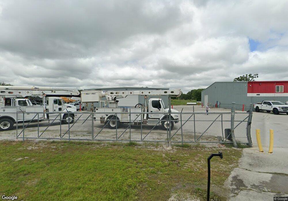
13960 Palm Rd Neosho, MO 64850
--
Bed
--
Bath
25,570
Sq Ft
6
Acres
About This Home
This home is located at 13960 Palm Rd, Neosho, MO 64850. 13960 Palm Rd is a home located in Newton County with nearby schools including Neosho High School.
Ownership History
Date
Name
Owned For
Owner Type
Purchase Details
Closed on
Dec 18, 2024
Sold by
Hawks Leasing Llc
Bought by
Mhe Real Estate Llc
Purchase Details
Closed on
Sep 9, 2019
Sold by
Parcs Llc
Bought by
Hawks Leasing Llc
Home Financials for this Owner
Home Financials are based on the most recent Mortgage that was taken out on this home.
Original Mortgage
$680,000
Interest Rate
3.7%
Mortgage Type
Construction
Purchase Details
Closed on
Sep 6, 2019
Sold by
Parcs Llc
Bought by
Hawks Leasing Llc
Home Financials for this Owner
Home Financials are based on the most recent Mortgage that was taken out on this home.
Original Mortgage
$680,000
Interest Rate
3.7%
Mortgage Type
Construction
Create a Home Valuation Report for This Property
The Home Valuation Report is an in-depth analysis detailing your home's value as well as a comparison with similar homes in the area
Home Values in the Area
Average Home Value in this Area
Purchase History
| Date | Buyer | Sale Price | Title Company |
|---|---|---|---|
| Mhe Real Estate Llc | -- | None Listed On Document | |
| Hawks Leasing Llc | $904,400 | None Listed On Document | |
| Hawks Leasing Llc | $850,000 | Other |
Source: Public Records
Mortgage History
| Date | Status | Borrower | Loan Amount |
|---|---|---|---|
| Previous Owner | Hawks Leasing Llc | $680,000 |
Source: Public Records
Tax History Compared to Growth
Tax History
| Year | Tax Paid | Tax Assessment Tax Assessment Total Assessment is a certain percentage of the fair market value that is determined by local assessors to be the total taxable value of land and additions on the property. | Land | Improvement |
|---|---|---|---|---|
| 2024 | $11,066 | $191,000 | -- | -- |
| 2023 | $11,066 | $191,000 | $44,410 | $146,590 |
| 2022 | $11,066 | $190,490 | -- | -- |
| 2021 | $11,029 | $190,490 | $0 | $0 |
| 2020 | $10,948 | $189,990 | $0 | $0 |
| 2019 | $12,848 | $243,330 | $0 | $0 |
| 2018 | $9,750 | $183,610 | $0 | $0 |
| 2017 | $9,719 | $183,610 | $0 | $0 |
| 2016 | $9,719 | $183,330 | $0 | $0 |
| 2015 | -- | $183,040 | $0 | $0 |
| 2014 | -- | $183,040 | $0 | $0 |
Source: Public Records
Map
Nearby Homes
- 13691 Palm Rd
- 13563 Paisley Rd
- 13665 Palm Rd
- 13590 Patti Ln
- 13581 Patti Ln
- 000 Orchid Dr
- TBD Orchid Dr
- 3 Palm Rd
- 5 Kodiak Rd
- 3521 Lusk Dr
- 003 Palm Rd
- 1925 Sylvan Ave
- 1936 Verdant Ave
- 5.11+/- Acres Industrial Dr
- 1895 Industrial Dr
- 006 Kodiak Rd
- 2808 Blue Bell Ave
- TBD Kodiak Rd & Garrow Blvd
- 000 Kodiak Road & Garrow Blvd
- Tbd Ithaca Ln
- Tbd Hwy 59
- 13941 Palm Rd
- 18874 Highway 59
- 18888 Highway 59
- 13800 Palm Rd
- 18702 Highway 59
- 18728 Highway 59
- 13750 Palm Rd
- 18826 Highway 59
- 13724 Palm Rd
- 17941 Kirksville
- 13757 Phillips Ln
- 13722 13724
- 13722 Palm Rd
- 17912 Kirksville Rd
- 13597 Paisley Rd
- 13582 Paisley Rd
- 18158 Highway 59
- 13812 Phillips Ln
- 13812 Phillips Ln