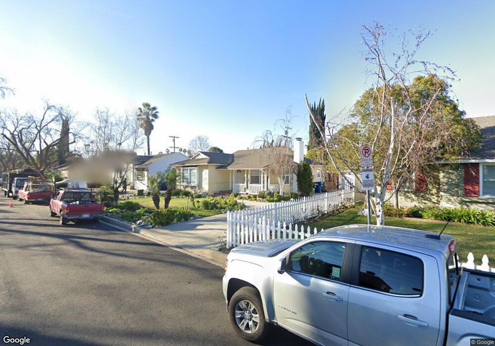
13967 Morrison St Sherman Oaks, CA 91423
Estimated Value: $1,278,000 - $1,378,000
3
Beds
2
Baths
1,152
Sq Ft
$1,142/Sq Ft
Est. Value
About This Home
This home is located at 13967 Morrison St, Sherman Oaks, CA 91423 and is currently estimated at $1,315,616, approximately $1,142 per square foot. 13967 Morrison St is a home located in Los Angeles County with nearby schools including Chandler Elementary, Ulysses S. Grant Senior High School, and Riverside Drive Charter Elementary School.
Ownership History
Date
Name
Owned For
Owner Type
Purchase Details
Closed on
Oct 17, 2022
Sold by
Mitchell Langley Mayer Trust
Bought by
M Journey Trust and Mayer
Current Estimated Value
Purchase Details
Closed on
Oct 1, 2013
Sold by
Mayer Mitchell L
Bought by
Mayer Mitchell L and Mitchell Langley Mayer Trust
Purchase Details
Closed on
May 22, 1998
Sold by
Boehner Eleanor J
Bought by
Mayer Ernest and The Ernest Mayer Revocable Trust
Create a Home Valuation Report for This Property
The Home Valuation Report is an in-depth analysis detailing your home's value as well as a comparison with similar homes in the area
Home Values in the Area
Average Home Value in this Area
Purchase History
| Date | Buyer | Sale Price | Title Company |
|---|---|---|---|
| M Journey Trust | -- | None Listed On Document | |
| Mayer Mitchell L | -- | None Available | |
| Mayer Ernest | $230,000 | Old Republic Title |
Source: Public Records
Tax History
| Year | Tax Paid | Tax Assessment Tax Assessment Total Assessment is a certain percentage of the fair market value that is determined by local assessors to be the total taxable value of land and additions on the property. | Land | Improvement |
|---|---|---|---|---|
| 2025 | $4,541 | $372,775 | $258,344 | $114,431 |
| 2024 | $4,541 | $365,467 | $253,279 | $112,188 |
| 2023 | $4,454 | $358,302 | $248,313 | $109,989 |
| 2022 | $4,248 | $351,278 | $243,445 | $107,833 |
| 2021 | $4,191 | $344,391 | $238,672 | $105,719 |
| 2019 | $4,066 | $334,178 | $231,594 | $102,584 |
| 2018 | $3,985 | $327,626 | $227,053 | $100,573 |
| 2016 | $3,799 | $314,905 | $218,237 | $96,668 |
| 2015 | $3,743 | $310,175 | $214,959 | $95,216 |
| 2014 | $3,761 | $304,100 | $210,749 | $93,351 |
Source: Public Records
Map
Nearby Homes
- 13951 Addison St
- 14000 Morrison St
- 14000 Otsego St
- 5121 Colbath Ave
- 13916 La Maida St
- 13925 Branton Place
- 5139 Hazeltine Ave
- 5003 Mammoth Ave
- 13845 Magnolia Blvd
- 4955 Woodman Ave
- 5009 Woodman Ave Unit 113
- 14145 Weddington St
- 13607 Huston St
- 5208 Woodman Ave
- 5226 Woodman Ave
- 5227 Buffalo Ave
- 4719 Tyrone Ave
- 4709 Buffalo Ave
- 13532 Addison St
- 4532 Calhoun Ave
- 13961 Morrison St
- 14001 Morrison St
- 13956 Addison St
- 14000 Addison St
- 13950 Addison St
- 13955 Morrison St
- 14007 Morrison St
- 13970 Morrison St
- 14006 Addison St
- 13964 Morrison St
- 13949 Morrison St
- 14013 Morrison St
- 14006 Morrison St
- 14012 Addison St
- 13938 Addison St
- 13952 Morrison St
- 13943 Morrison St
- 14019 Morrison St
- 13971 Huston St
- 14018 Addison St
Your Personal Tour Guide
Ask me questions while you tour the home.