--
Bed
--
Bath
3,840
Sq Ft
7.94
Acres
About This Home
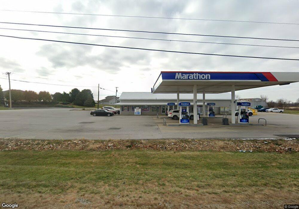
This home is located at 1397 E Mcpherson Hwy, Clyde, OH 43410. 1397 E Mcpherson Hwy is a home located in Sandusky County with nearby schools including Clyde High School, Harvest Temple Christian Academy, and St. Mary's School.
Ownership History
Date
Name
Owned For
Owner Type
Purchase Details
Closed on
Apr 20, 2010
Sold by
Meggitt Kenneth L
Bought by
Dashmesh Investors Llc
Purchase Details
Closed on
Nov 17, 2000
Sold by
Steinbauer Fresh Market
Bought by
Meggitt Kenneth L
Home Financials for this Owner
Home Financials are based on the most recent Mortgage that was taken out on this home.
Original Mortgage
$250,000
Interest Rate
7.87%
Mortgage Type
New Conventional
Purchase Details
Closed on
Mar 1, 1993
Bought by
Dashmesh Investors Llc
Create a Home Valuation Report for This Property
The Home Valuation Report is an in-depth analysis detailing your home's value as well as a comparison with similar homes in the area
Home Values in the Area
Average Home Value in this Area
Purchase History
| Date | Buyer | Sale Price | Title Company |
|---|---|---|---|
| Dashmesh Investors Llc | $387,400 | Lawyers Title Ins Corp | |
| Meggitt Kenneth L | $190,000 | -- | |
| Dashmesh Investors Llc | $163,000 | -- |
Source: Public Records
Mortgage History
| Date | Status | Borrower | Loan Amount |
|---|---|---|---|
| Previous Owner | Meggitt Kenneth L | $250,000 |
Source: Public Records
Tax History Compared to Growth
Tax History
| Year | Tax Paid | Tax Assessment Tax Assessment Total Assessment is a certain percentage of the fair market value that is determined by local assessors to be the total taxable value of land and additions on the property. | Land | Improvement |
|---|---|---|---|---|
| 2024 | $8,678 | $156,910 | $23,730 | $133,180 |
| 2023 | $8,693 | $142,630 | $21,560 | $121,070 |
| 2022 | $8,693 | $142,630 | $21,560 | $121,070 |
| 2021 | $8,741 | $142,630 | $21,560 | $121,070 |
| 2020 | $9,168 | $142,070 | $13,230 | $128,840 |
| 2019 | $9,105 | $142,070 | $13,230 | $128,840 |
| 2018 | $9,040 | $142,070 | $13,230 | $128,840 |
| 2017 | $9,257 | $142,070 | $13,230 | $128,840 |
| 2016 | $9,265 | $142,070 | $13,230 | $128,840 |
| 2015 | $9,200 | $142,070 | $13,230 | $128,840 |
| 2014 | $8,526 | $131,220 | $13,480 | $117,740 |
| 2013 | $8,448 | $131,220 | $13,480 | $117,740 |
Source: Public Records
Map
Nearby Homes
- 0 Durnwald Dr
- CR 260 89.6 acres Durnwald Dr
- 4534 County Road 175
- 625 Ames St
- 0 Ames St
- 315 E Grant St
- 222 Bertha Ave
- 1337 E Sr 20
- 165 Fairhome Ave
- 0 Ohio 101
- 118 E Buckeye St
- 0 W Mcpherson Hwy
- 209 Fair St
- 4201 Fox Ave
- 235 W Buckeye St
- 117 Nelson St
- 322 Vine St
- 248 Ott St
- 153 Zimmerman Dr
- 5762 County Road 191
- 4993 County Road 175
- 4955 County Road 175
- 1611 County Road 264
- 5022 County Road 175
- 1650 County Road 264
- 5055 County Road 175
- 4921 County Road 175
- 1488 E Mcpherson Hwy
- 5067 County Road 175
- 5079 County Road 175
- 4881 County Road 175
- 5089 County Road 175
- 4880 County Road 175 Unit 48
- 1701 C R 264 Unit A,B,C
- 1701 County Road 264
- 1525 E Sr 20 Hwy
- 4873 County Road 175
- 4864 County Road 175 Unit 48
- 5121 County Road 175
- 4865 County Road 175