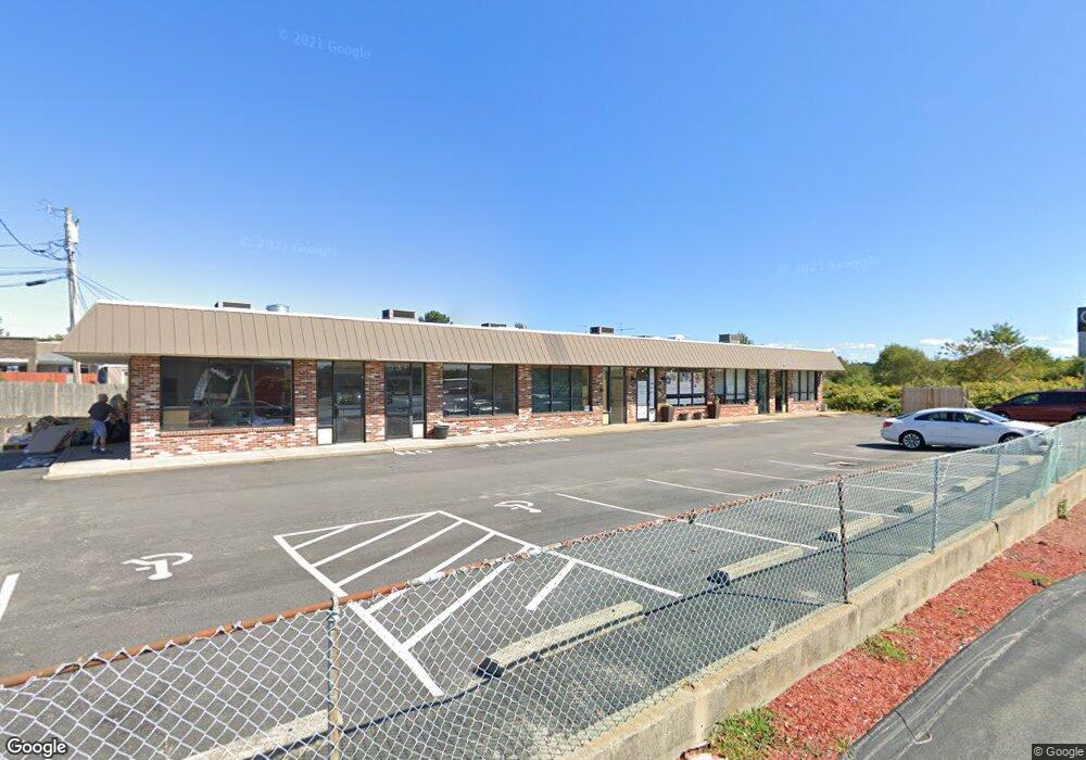
1397 W Main Rd Middletown, RI 02842
Estimated Value: $1,282,172
--
Bed
--
Bath
4,880
Sq Ft
$263/Sq Ft
Est. Value
About This Home
This home is located at 1397 W Main Rd, Middletown, RI 02842 and is currently estimated at $1,282,172, approximately $262 per square foot. 1397 W Main Rd is a home located in Newport County with nearby schools including Middletown High School, All Saints STEAM Academy, and The Pennfield School.
Ownership History
Date
Name
Owned For
Owner Type
Purchase Details
Closed on
Mar 9, 2019
Sold by
Sandonato Deramo Assoc
Bought by
1397 Wmr Properties Llc
Current Estimated Value
Home Financials for this Owner
Home Financials are based on the most recent Mortgage that was taken out on this home.
Original Mortgage
$275,000
Outstanding Balance
$240,285
Interest Rate
4.3%
Mortgage Type
New Conventional
Estimated Equity
$1,041,887
Purchase Details
Closed on
May 1, 1985
Bought by
Sandonato & Deramo Assoc
Create a Home Valuation Report for This Property
The Home Valuation Report is an in-depth analysis detailing your home's value as well as a comparison with similar homes in the area
Home Values in the Area
Average Home Value in this Area
Purchase History
| Date | Buyer | Sale Price | Title Company |
|---|---|---|---|
| 1397 Wmr Properties Llc | $675,000 | -- | |
| Sandonato & Deramo Assoc | -- | -- |
Source: Public Records
Mortgage History
| Date | Status | Borrower | Loan Amount |
|---|---|---|---|
| Open | 1397 Wmr Properties Llc | $275,000 |
Source: Public Records
Tax History Compared to Growth
Tax History
| Year | Tax Paid | Tax Assessment Tax Assessment Total Assessment is a certain percentage of the fair market value that is determined by local assessors to be the total taxable value of land and additions on the property. | Land | Improvement |
|---|---|---|---|---|
| 2025 | $9,968 | $733,500 | $342,500 | $391,000 |
| 2024 | $9,521 | $733,500 | $342,500 | $391,000 |
| 2023 | $10,882 | $581,900 | $211,200 | $370,700 |
| 2022 | $10,387 | $581,900 | $211,200 | $370,700 |
| 2021 | $10,026 | $581,900 | $211,200 | $370,700 |
| 2020 | $6,570 | $360,800 | $154,500 | $206,300 |
| 2018 | $6,567 | $360,800 | $154,500 | $206,300 |
| 2016 | $7,144 | $349,500 | $151,600 | $197,900 |
| 2015 | $6,976 | $349,500 | $151,600 | $197,900 |
| 2014 | $8,664 | $406,000 | $190,500 | $215,500 |
| 2013 | $8,473 | $406,000 | $190,500 | $215,500 |
Source: Public Records
Map
Nearby Homes
- 19 Cows Path Rd
- 836 Forest Park
- 841 Forest Park
- 521 Forest Park
- 529 Forest Park
- 533 Forest Park
- 481 Oliphant Ln
- 18 J h Dwyer Dr
- 0 Coggeshall Way
- 6 Wabasso Terrace
- 74 Valley Rd
- 68 Rebels Way
- 134 E Main Rd
- 0 0 Revolution Freedom Dr
- 16 King Rd
- 92 Harvest Dr
- 138 Rebels Way
- 65 Maple Ave
- 17 Underwood Ln
- 342 Mail Coach Rd
- 1397 W Main Rd Unit 5
- 1397 W Main Rd Unit 4
- 1397 W Main Rd Unit STE 4
- 1409 W Main Rd
- 25 Oliphant Ln
- 1 Oliphant Ln
- 1341 W Main Rd
- 27 Oliphant Ln
- 1360 W Main Rd
- 1522 W Main Rd
- 12 Pocono Rd
- 11 Pocono Rd
- 24 Browns Ln Unit 102
- 1532 W Main Rd
- 10 Pocono Rd
- 2 Namquid Dr
- 4 Namquid Dr
- 62 Oliphant Ln
- 8 Pocono Rd
- 1544 W Main Rd