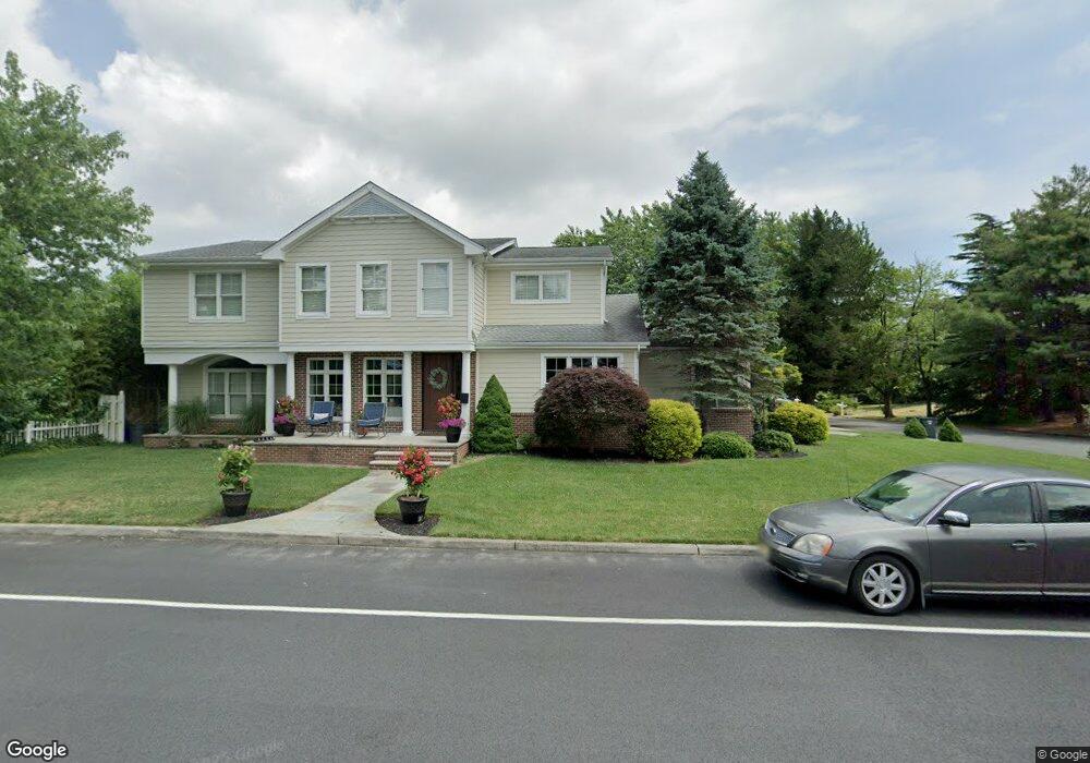
1398 Franklin Blvd Linwood, NJ 08221
Estimated Value: $863,530 - $1,039,000
--
Bed
--
Bath
3,887
Sq Ft
$247/Sq Ft
Est. Value
About This Home
This home is located at 1398 Franklin Blvd, Linwood, NJ 08221 and is currently estimated at $959,133, approximately $246 per square foot. 1398 Franklin Blvd is a home located in Atlantic County with nearby schools including Seaview Elementary School, Belhaven Middle School, and Mainland Regional High School.
Ownership History
Date
Name
Owned For
Owner Type
Purchase Details
Closed on
Oct 31, 2005
Sold by
Waters Frederick
Bought by
Scannell Timothy and Scannell Joann
Current Estimated Value
Home Financials for this Owner
Home Financials are based on the most recent Mortgage that was taken out on this home.
Original Mortgage
$420,000
Outstanding Balance
$227,446
Interest Rate
5.85%
Mortgage Type
Purchase Money Mortgage
Estimated Equity
$731,687
Purchase Details
Closed on
Apr 22, 2005
Sold by
Waters Frederick J
Bought by
Waters Frederick J and Waters Carol A
Create a Home Valuation Report for This Property
The Home Valuation Report is an in-depth analysis detailing your home's value as well as a comparison with similar homes in the area
Home Values in the Area
Average Home Value in this Area
Purchase History
| Date | Buyer | Sale Price | Title Company |
|---|---|---|---|
| Scannell Timothy | $525,000 | -- | |
| Waters Frederick J | -- | -- |
Source: Public Records
Mortgage History
| Date | Status | Borrower | Loan Amount |
|---|---|---|---|
| Open | Scannell Timothy | $420,000 |
Source: Public Records
Tax History Compared to Growth
Tax History
| Year | Tax Paid | Tax Assessment Tax Assessment Total Assessment is a certain percentage of the fair market value that is determined by local assessors to be the total taxable value of land and additions on the property. | Land | Improvement |
|---|---|---|---|---|
| 2025 | $15,958 | $418,300 | $130,000 | $288,300 |
| 2024 | $15,958 | $418,300 | $130,000 | $288,300 |
| 2023 | $15,218 | $418,300 | $130,000 | $288,300 |
| 2022 | $15,218 | $418,300 | $130,000 | $288,300 |
| 2021 | $15,084 | $418,300 | $130,000 | $288,300 |
| 2020 | $14,875 | $418,300 | $130,000 | $288,300 |
| 2019 | $14,557 | $418,300 | $130,000 | $288,300 |
| 2018 | $14,231 | $418,300 | $130,000 | $288,300 |
| 2017 | $13,946 | $418,300 | $130,000 | $288,300 |
| 2016 | $17,089 | $530,400 | $250,000 | $280,400 |
| 2015 | $17,105 | $530,400 | $250,000 | $280,400 |
| 2014 | $15,578 | $502,500 | $250,000 | $252,500 |
Source: Public Records
Map
Nearby Homes
- 209 Berkshire Ave
- 208 Balfour Ave
- 110 E Patcong Ave
- 1201 Woodlynne Blvd
- 103 E Patcong Ave
- 108 Holly Ln
- 1610 Woodlynne Blvd
- 7 Woodstock Dr
- 1610 Shore Rd
- 1050 Shore Rd
- 102 Morris Ave
- 105 W Edgewood Ave
- 1860 Franklin Blvd
- 803 Shore Rd
- 214 Belhaven Ave
- 209 Belhaven Ave
- 4 Princeton Ln
- 104 W Poplar Ave
- 110 W Poplar Ave
- 1016 Richard Dr
- 201 Cambridge Ave
- 210 Berkshire Ave
- 205 Cambridge Ave
- 1400 Franklin Blvd
- 214 Berkshire Ave
- 1323 Franklin Blvd
- 229 Cambridge Ave
- 1317 Franklin Blvd
- 1314 Franklin Blvd
- 1404 Franklin Blvd
- 210 Cambridge Ave
- 550 Adams Unit 907
- Patcong Creek Linwood
- 257 Pine St
- 271 Pine
- Independence Independence Ct Unit G3
- Independence Independence Ct Unit G-7
- 218 Arlington Ave
- 215 Berkshire Ave
- 118 Berkshire Ave