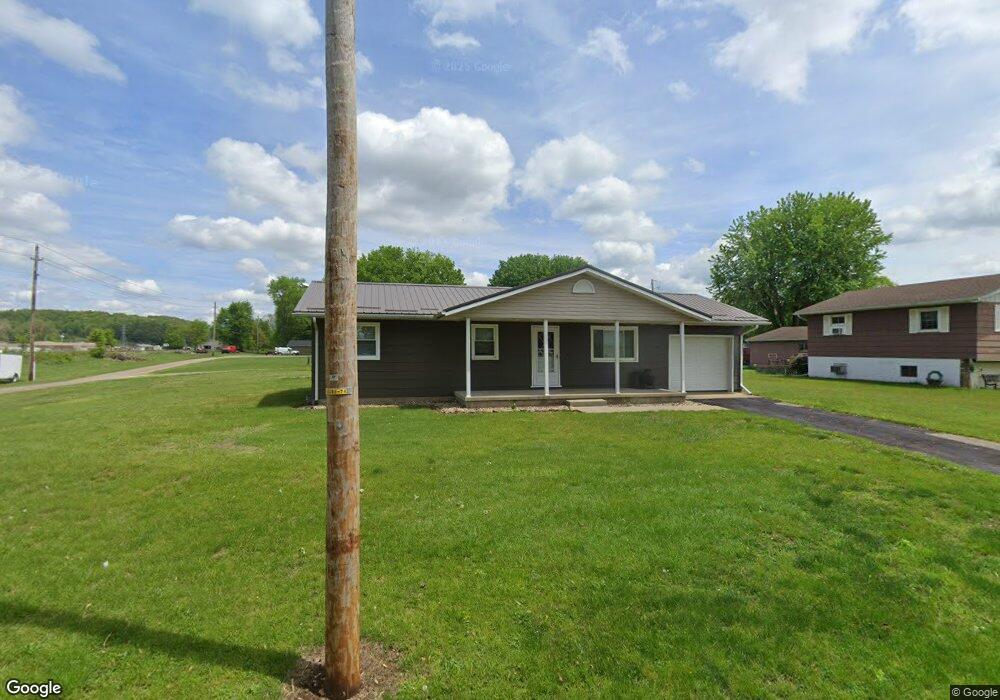
13985 Pershing Ave Newcomerstown, OH 43832
Estimated Value: $111,000 - $178,427
Studio
1
Bath
--
Sq Ft
7,884
Sq Ft Lot
About This Home
This home is located at 13985 Pershing Ave, Newcomerstown, OH 43832 and is currently estimated at $140,607. 13985 Pershing Ave is a home located in Tuscarawas County with nearby schools including West Elementary School, East Elementary School, and Newcomerstown Middle School.
Ownership History
Date
Name
Owned For
Owner Type
Purchase Details
Closed on
Jan 23, 2025
Sold by
Kenney Todd W and Kenney Megan N
Bought by
Kenney Family Trust and Kenney
Current Estimated Value
Purchase Details
Closed on
Sep 15, 2015
Sold by
Kenneth Todd W and Kenneth Megan N
Bought by
Kenney Todd W and Kenney Megan N
Purchase Details
Closed on
May 28, 1999
Sold by
Kenney Faye M
Bought by
Kenney Todd W
Home Financials for this Owner
Home Financials are based on the most recent Mortgage that was taken out on this home.
Original Mortgage
$72,750
Interest Rate
6.92%
Mortgage Type
New Conventional
Create a Home Valuation Report for This Property
The Home Valuation Report is an in-depth analysis detailing your home's value as well as a comparison with similar homes in the area
Home Values in the Area
Average Home Value in this Area
Purchase History
| Date | Buyer | Sale Price | Title Company |
|---|---|---|---|
| Kenney Family Trust | $170,000 | Ohio Real Title | |
| Kenney Todd W | -- | None Available | |
| Kenney Todd W | $75,000 | -- |
Source: Public Records
Mortgage History
| Date | Status | Borrower | Loan Amount |
|---|---|---|---|
| Previous Owner | Kenney Todd W | $72,750 |
Source: Public Records
Tax History
| Year | Tax Paid | Tax Assessment Tax Assessment Total Assessment is a certain percentage of the fair market value that is determined by local assessors to be the total taxable value of land and additions on the property. | Land | Improvement |
|---|---|---|---|---|
| 2024 | $176 | $4,720 | $4,720 | -- |
| 2023 | $176 | $13,480 | $13,480 | $0 |
| 2022 | $168 | $4,718 | $4,718 | $0 |
| 2021 | $127 | $3,304 | $3,304 | $0 |
| 2020 | $128 | $3,304 | $3,304 | $0 |
| 2019 | $130 | $3,304 | $3,304 | $0 |
| 2018 | $113 | $2,790 | $2,790 | $0 |
| 2017 | $113 | $2,790 | $2,790 | $0 |
| 2016 | $114 | $2,790 | $2,790 | $0 |
| 2014 | $1,077 | $26,920 | $3,770 | $23,150 |
| 2013 | $1,085 | $26,920 | $3,770 | $23,150 |
Source: Public Records
Map
Nearby Homes
- 14098 Washington Ave
- 782 E State St
- 428 Chestnut St
- 346 N Bridge St
- 4980 Beagle Club Rd
- 508 Martin Luther King Dr
- 750 Cross St
- 771 Cross St
- 298 Mckinley Ave
- 453 Wood Ave
- 60883 U S 36
- 950 Beech St
- 60140 Everals Church Rd
- 3200 Centenary Hill Rd SW
- 5619 Post Boy Rd
- 5415 Post Boy Rd
- 16691 Dog Rd
- 0 Wolf Rd
- 4829 Frys Valley Rd SW
- 20451 Cr 410
- 14001 Pershing Ave
- 13970 Wilson Ave
- 13978 Pershing Ave
- 13970 Wilson Ave SW
- 14021 Pershing Ave
- 13996 Pershing Ave
- 0 Wilson Ave Unit 4011379
- 14012 Pershing Ave
- 14010 Wilson Ave
- 13957 Lincoln Ave
- 14030 Pershing Ave
- 13985 Wilson Ave
- 14049 Pershing Ave
- 6147 Adams St
- 14001 Lincoln Ave
- 14034 Wilson Ave
- 14065 Pershing Ave
- 0 Pershing Ave Unit 3930359
- 0 Pershing Ave Unit 4244645
- 13970 Lincoln Ave
Your Personal Tour Guide
Ask me questions while you tour the home.