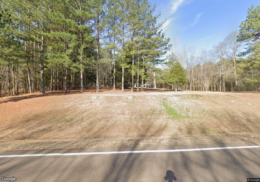
13986 Highway 15 Decatur, MS 39327
Estimated Value: $137,574 - $156,000
--
Bed
2
Baths
1,301
Sq Ft
$113/Sq Ft
Est. Value
About This Home
This home is located at 13986 Highway 15, Decatur, MS 39327 and is currently estimated at $146,394, approximately $112 per square foot. 13986 Highway 15 is a home located in Newton County with nearby schools including Newton County Elementary School, Newton County High School, and Newton County Academy.
Ownership History
Date
Name
Owned For
Owner Type
Purchase Details
Closed on
Jul 21, 2023
Sold by
Marshall David and Marshall Anita
Bought by
Rushing William R
Current Estimated Value
Home Financials for this Owner
Home Financials are based on the most recent Mortgage that was taken out on this home.
Original Mortgage
$112,054
Outstanding Balance
$68,042
Interest Rate
6.69%
Mortgage Type
New Conventional
Estimated Equity
$78,352
Purchase Details
Closed on
Oct 6, 2017
Sold by
Hollingsworth Doug and Hollingsworth Linda
Bought by
Marshall David and Marshall Anita
Create a Home Valuation Report for This Property
The Home Valuation Report is an in-depth analysis detailing your home's value as well as a comparison with similar homes in the area
Home Values in the Area
Average Home Value in this Area
Purchase History
| Date | Buyer | Sale Price | Title Company |
|---|---|---|---|
| Rushing William R | -- | None Listed On Document | |
| Marshall David | -- | -- |
Source: Public Records
Mortgage History
| Date | Status | Borrower | Loan Amount |
|---|---|---|---|
| Open | Rushing William R | $112,054 |
Source: Public Records
Tax History Compared to Growth
Tax History
| Year | Tax Paid | Tax Assessment Tax Assessment Total Assessment is a certain percentage of the fair market value that is determined by local assessors to be the total taxable value of land and additions on the property. | Land | Improvement |
|---|---|---|---|---|
| 2024 | $1,268 | $9,951 | $0 | $0 |
| 2023 | $1,551 | $9,967 | $0 | $0 |
| 2022 | $1,535 | $9,967 | $0 | $0 |
| 2021 | $1,456 | $9,401 | $0 | $0 |
| 2020 | $1,456 | $9,401 | $0 | $0 |
| 2019 | $1,463 | $9,401 | $0 | $0 |
| 2018 | $1,421 | $9,401 | $0 | $0 |
| 2017 | $662 | $6,035 | $0 | $0 |
| 2016 | $654 | $6,035 | $0 | $0 |
| 2015 | -- | $6,035 | $0 | $0 |
| 2014 | -- | $6,035 | $0 | $0 |
Source: Public Records
Map
Nearby Homes
- 285 N 8th Ave
- 13470 Highway 503
- 18159 Mississippi 15
- 18159 Hwy 15
- 0 Pine Bluff Rd
- 0 Eastside Dr
- 2708 Beaver Creek Rd
- 0 Stratton Rd
- 7749 Hickory Little Rock Rd
- 107 Adeline Ln
- 704 Decatur St
- 202 New Ireland St
- 0 High St
- 0 Airport Rd
- 108 Frances Ave
- 402 E Church St
- 0 Edwards Rd
- 21959 Hwy 80
- 306 W Church St
- 502 W Church St
- 13960 Highway 15
- 14326 Highway 15
- 13814 Highway 15
- 14186 Highway 15
- 205 Spence Rd
- 1015 Spence Rd
- 527 Spence Rd
- 13772 Highway 15
- 274 Country Club Rd
- 473 Lewis Rd
- 57 Country Club Rd
- 645 Spence Rd
- 279 Country Club Rd
- 59 Simkins Rd
- 408 Lewis Rd
- 409 Country Club Rd
- 428 Country Club Rd
- 150 Simkins Rd
- 293 Lewis Rd
- 472 Country Club Rd
