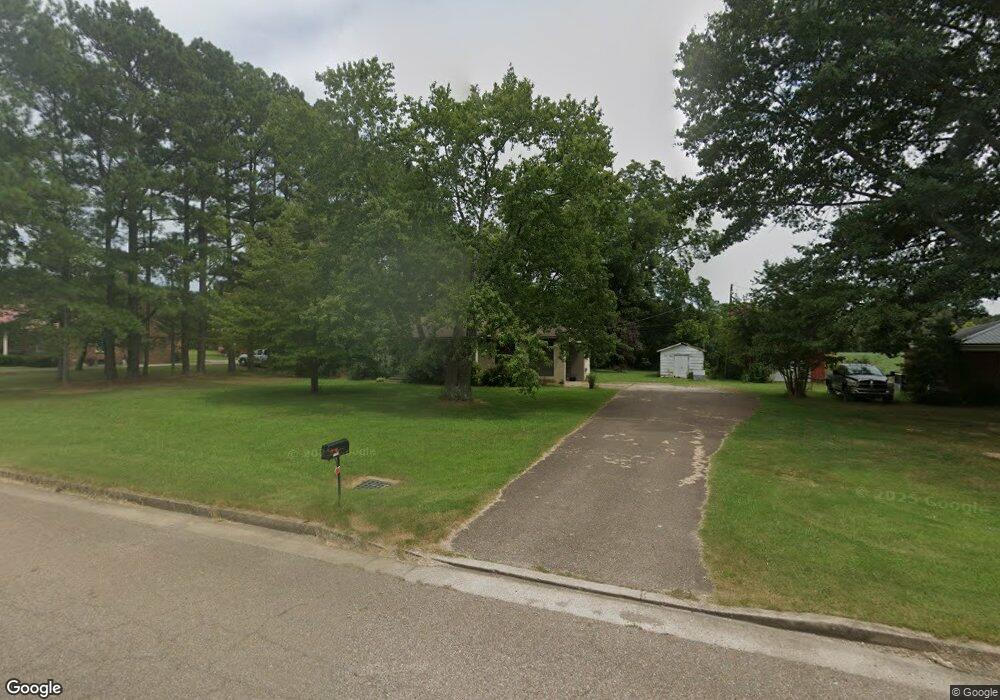
13990 Highway 79 Mc Kenzie, TN 38201
Estimated Value: $132,396 - $193,000
--
Bed
1
Bath
1,245
Sq Ft
$132/Sq Ft
Est. Value
About This Home
This home is located at 13990 Highway 79, Mc Kenzie, TN 38201 and is currently estimated at $164,099, approximately $131 per square foot. 13990 Highway 79 is a home located in Carroll County with nearby schools including McKenzie Elementary School, McKenzie Middle School, and McKenzie High School.
Ownership History
Date
Name
Owned For
Owner Type
Purchase Details
Closed on
Sep 10, 2020
Sold by
Kolasa Paula and Boaz Lorra
Bought by
Boaz John Christopher
Current Estimated Value
Purchase Details
Closed on
Sep 8, 2017
Sold by
Crawford Peggy
Bought by
Crawford Peggy J Trustee and Crawford Peggy J Rev Tr
Purchase Details
Closed on
Feb 26, 2014
Sold by
Perritt Duane
Bought by
Crawford Peggy
Home Financials for this Owner
Home Financials are based on the most recent Mortgage that was taken out on this home.
Original Mortgage
$30,000
Interest Rate
3%
Mortgage Type
Cash
Purchase Details
Closed on
Sep 22, 2011
Sold by
Perritt Bonnie Jean
Bought by
Perritt Duane and Perritt June
Purchase Details
Closed on
Mar 11, 1967
Bought by
Perritt Walter Ernest and Bonnie Jean
Create a Home Valuation Report for This Property
The Home Valuation Report is an in-depth analysis detailing your home's value as well as a comparison with similar homes in the area
Home Values in the Area
Average Home Value in this Area
Purchase History
| Date | Buyer | Sale Price | Title Company |
|---|---|---|---|
| Boaz John Christopher | -- | None Available | |
| Crawford Peggy J Trustee | -- | -- | |
| Crawford Peggy | $68,000 | -- | |
| Perritt Duane | -- | -- | |
| Perritt Walter Ernest | -- | -- |
Source: Public Records
Mortgage History
| Date | Status | Borrower | Loan Amount |
|---|---|---|---|
| Previous Owner | Crawford Peggy | $30,000 |
Source: Public Records
Tax History Compared to Growth
Tax History
| Year | Tax Paid | Tax Assessment Tax Assessment Total Assessment is a certain percentage of the fair market value that is determined by local assessors to be the total taxable value of land and additions on the property. | Land | Improvement |
|---|---|---|---|---|
| 2025 | $527 | $38,350 | $0 | $0 |
| 2024 | $527 | $20,275 | $3,000 | $17,275 |
| 2023 | $527 | $20,275 | $3,000 | $17,275 |
| 2022 | $527 | $20,275 | $3,000 | $17,275 |
| 2021 | $287 | $20,275 | $3,000 | $17,275 |
| 2020 | $527 | $20,275 | $3,000 | $17,275 |
| 2019 | $489 | $17,275 | $3,000 | $14,275 |
| 2018 | $467 | $17,275 | $3,000 | $14,275 |
| 2017 | $467 | $16,500 | $3,000 | $13,500 |
| 2016 | $678 | $16,500 | $3,000 | $13,500 |
| 2015 | -- | $16,500 | $3,000 | $13,500 |
| 2014 | -- | $16,500 | $3,000 | $13,500 |
| 2013 | -- | $16,205 | $0 | $0 |
Source: Public Records
Map
Nearby Homes
- 14765 Highland Dr
- 000 Cherrywood
- 58 Mcclure St
- 65 Bertha St
- 157 Barksdale Ave
- 94 Linden St
- 156 Barksdale Ave
- 36 Morris Ct
- 103 Kencindot St
- 1790 Connie Allen Rd
- 47 Washington St
- 189 Oaklawn Dr
- 154 N Winchester St
- 0 Oaklawn Dr
- 1575 Cedar St
- 00 Tennessee 124
- 0 Tennessee 124
- 33 W End Ave
- 40 Thorndale Dr
- 341 Forrest Ave
- 13970 Highway 79
- 14010 Highway 79
- 13940 Highway 79
- 14050 U S 79
- 13920 Highway 79
- 14050 Highway 79
- 13925 Hwy 79
- 13900 Highway 79
- 14090 Highway 79
- 13880 Highway 79
- 13840 Highway 79
- 14180 Highway 79
- 160 Brashear Rd
- 13655 Highway 79
- 14280 Highway 79
- 14300 Hwy 79
- 14300 Highway 79
- 485 Oak Manor Rd
- 14340 Highway 79
- 445 Oak Manor Rd