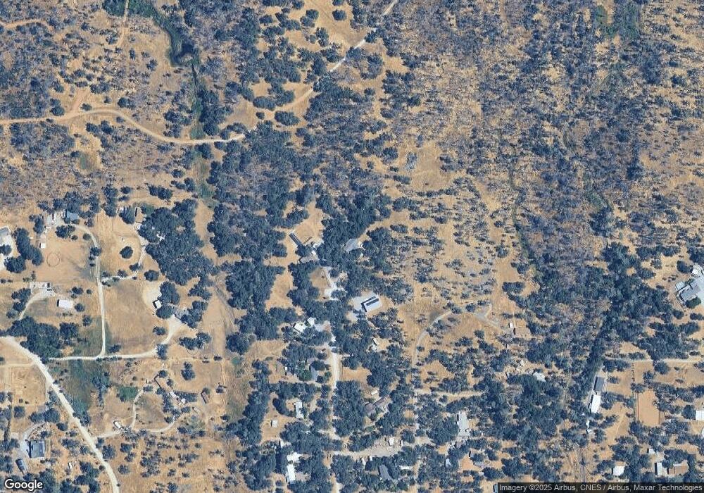
13990 Sundust Rd Redding, CA 96003
Estimated Value: $411,000 - $509,000
3
Beds
3
Baths
1,950
Sq Ft
$225/Sq Ft
Est. Value
About This Home
This home is located at 13990 Sundust Rd, Redding, CA 96003 and is currently estimated at $439,063, approximately $225 per square foot. 13990 Sundust Rd is a home located in Shasta County.
Ownership History
Date
Name
Owned For
Owner Type
Purchase Details
Closed on
Mar 7, 2003
Sold by
Edkin Karen
Bought by
Lea Douglas A and Lea Karin Joy
Current Estimated Value
Home Financials for this Owner
Home Financials are based on the most recent Mortgage that was taken out on this home.
Original Mortgage
$48,000
Outstanding Balance
$20,545
Interest Rate
5.82%
Estimated Equity
$418,518
Purchase Details
Closed on
Oct 11, 2001
Sold by
Fam Russell and Fam Betty
Bought by
Edkin Robert W
Home Financials for this Owner
Home Financials are based on the most recent Mortgage that was taken out on this home.
Original Mortgage
$26,000
Interest Rate
6.91%
Mortgage Type
Seller Take Back
Purchase Details
Closed on
Oct 10, 2001
Sold by
Edkin Karen L
Bought by
Edkin Robert W
Home Financials for this Owner
Home Financials are based on the most recent Mortgage that was taken out on this home.
Original Mortgage
$26,000
Interest Rate
6.91%
Mortgage Type
Seller Take Back
Purchase Details
Closed on
Jun 30, 1999
Sold by
Rossman Russell Leroy and Rossman Betty Louise
Bought by
Rossman Russell Leroy and Rossman Betty Louise
Create a Home Valuation Report for This Property
The Home Valuation Report is an in-depth analysis detailing your home's value as well as a comparison with similar homes in the area
Purchase History
| Date | Buyer | Sale Price | Title Company |
|---|---|---|---|
| Lea Douglas A | $80,000 | First American Title Co | |
| Edkin Robert W | $52,000 | Fidelity National Title Co | |
| Edkin Robert W | -- | Fidelity National Title Co | |
| Rossman Russell Leroy | -- | -- |
Source: Public Records
Mortgage History
| Date | Status | Borrower | Loan Amount |
|---|---|---|---|
| Open | Lea Douglas A | $48,000 | |
| Previous Owner | Edkin Robert W | $26,000 |
Source: Public Records
Tax History
| Year | Tax Paid | Tax Assessment Tax Assessment Total Assessment is a certain percentage of the fair market value that is determined by local assessors to be the total taxable value of land and additions on the property. | Land | Improvement |
|---|---|---|---|---|
| 2025 | $3,266 | $311,888 | $86,889 | $224,999 |
| 2024 | $3,203 | $305,774 | $85,186 | $220,588 |
| 2023 | $3,203 | $299,779 | $83,516 | $216,263 |
| 2022 | $3,116 | $293,902 | $81,879 | $212,023 |
| 2021 | $3,074 | $288,140 | $80,274 | $207,866 |
| 2020 | $3,060 | $285,186 | $79,451 | $205,735 |
| 2019 | $2,964 | $279,595 | $77,894 | $201,701 |
| 2018 | $2,963 | $274,114 | $76,367 | $197,747 |
| 2017 | $2,913 | $268,740 | $74,870 | $193,870 |
| 2016 | $2,315 | $220,000 | $60,000 | $160,000 |
| 2015 | $2,205 | $210,000 | $60,000 | $150,000 |
| 2014 | $2,155 | $200,000 | $60,000 | $140,000 |
Source: Public Records
Map
Nearby Homes
- 13911 Blue Ridge Dr
- 20034 Parocast Rd
- 19924 Woodchuck Trail
- 14058 Windfall Dr
- 14020 Windfall Dr
- 0 Manzanillo Way Unit 25-2218
- 0 Manzanillo Way Unit 22-4418
- 14364 Sundown Dr
- 19902 Little Acres Ln
- 20114 Vernita Dr
- 19707 Copper Canyon Rd
- 14378 Christian Way
- 0 Bear Mountain Rd Unit 25-3999
- 13497 Tierra Heights Rd
- 20700 Bernard Way
- 13498 Tierra Heights Rd
- 19782 Old Oregon Trail N
- 13160 Bear Mountain Rd
- 0 Spring Lake St
- 19404 Peppernut Dr
- 13988 Sundust Rd
- 13960 Blue Ridge Dr
- 13962 Sundust Rd
- 13940 Sundust Rd
- 20200 El Mirador
- 20282 Casa Dr
- 20146 Sunrise Dr
- 20256 Casa Dr
- 13980 Prado Ln
- 20358 Casa Dr
- 20198 Casa Dr
- 20112 Sunrise Dr
- 20291 Casa Dr
- 13932 Down Pages Ln
- 13971 Kitty Hawk Ln
- 20127 Sunrise Dr
- 20359 Casa Dr
- 20090 Sunrise Dr
- 20105 Sunrise Dr
- 13955 Kitty Hawk Ln
