13999 Ashford Path Unit 100 Rosemount, MN 55068
Estimated Value: $563,259 - $592,000
5
Beds
4
Baths
2,109
Sq Ft
$273/Sq Ft
Est. Value
About This Home
This home is located at 13999 Ashford Path Unit 100, Rosemount, MN 55068 and is currently estimated at $576,315, approximately $273 per square foot. 13999 Ashford Path Unit 100 is a home located in Dakota County with nearby schools including Rosemount Elementary School, Rosemount Middle School, and Rosemount Senior High School.
Ownership History
Date
Name
Owned For
Owner Type
Purchase Details
Closed on
Jul 6, 2021
Sold by
Landis Patrick and Landis Lisa
Bought by
Habib Mohamud A and Warsame Fardowso M
Current Estimated Value
Home Financials for this Owner
Home Financials are based on the most recent Mortgage that was taken out on this home.
Original Mortgage
$400,000
Interest Rate
2.8%
Mortgage Type
New Conventional
Purchase Details
Closed on
Jun 27, 2018
Sold by
Topaz Llc
Bought by
Landis Patrick and Landis Lisa
Home Financials for this Owner
Home Financials are based on the most recent Mortgage that was taken out on this home.
Original Mortgage
$382,410
Interest Rate
4.6%
Mortgage Type
New Conventional
Create a Home Valuation Report for This Property
The Home Valuation Report is an in-depth analysis detailing your home's value as well as a comparison with similar homes in the area
Home Values in the Area
Average Home Value in this Area
Purchase History
| Date | Buyer | Sale Price | Title Company |
|---|---|---|---|
| Habib Mohamud A | $500,000 | Gibraltar Title Agency Llc | |
| Landis Patrick | $424,900 | Land Title Inc | |
| Habib Mohamud Mohamud | $500,000 | -- |
Source: Public Records
Mortgage History
| Date | Status | Borrower | Loan Amount |
|---|---|---|---|
| Previous Owner | Habib Mohamud A | $400,000 | |
| Previous Owner | Landis Patrick | $382,410 | |
| Closed | Habib Mohamud Mohamud | $400,000 |
Source: Public Records
Tax History Compared to Growth
Tax History
| Year | Tax Paid | Tax Assessment Tax Assessment Total Assessment is a certain percentage of the fair market value that is determined by local assessors to be the total taxable value of land and additions on the property. | Land | Improvement |
|---|---|---|---|---|
| 2024 | $5,458 | $498,700 | $140,200 | $358,500 |
| 2023 | $5,458 | $502,000 | $141,700 | $360,300 |
| 2022 | $4,704 | $481,200 | $141,200 | $340,000 |
| 2021 | $4,832 | $414,000 | $122,800 | $291,200 |
| 2020 | $5,268 | $415,700 | $116,900 | $298,800 |
| 2019 | $4,480 | $420,700 | $117,900 | $302,800 |
| 2018 | $388 | $387,100 | $112,300 | $274,800 |
| 2017 | $196 | $82,000 | $82,000 | $0 |
| 2016 | -- | $13,000 | $13,000 | $0 |
Source: Public Records
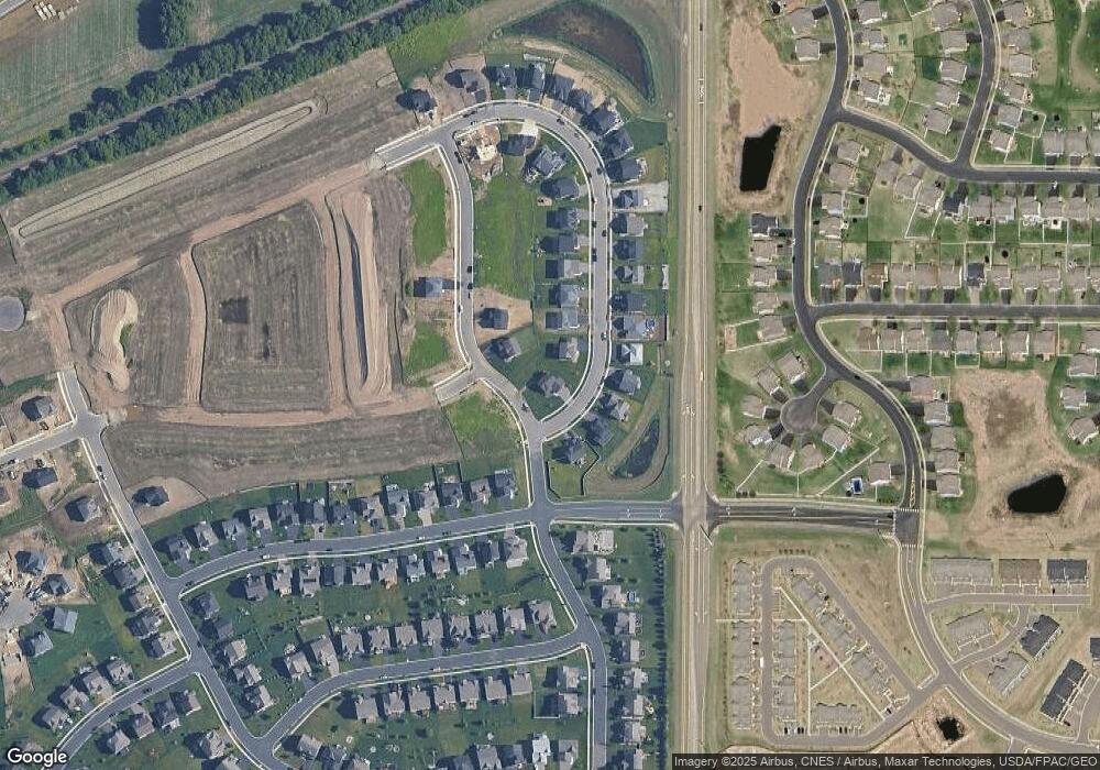
Map
Nearby Homes
- 13999 Abbeyfield Ave
- 14123 Abbeyfield Ave
- 1154 139th St E
- 14111 Abercorn Ave
- 1174 139th St E
- 14130 Addison Trail
- 14105 Aberdeen Way
- 13840 Adelle Ave
- 1225 Upper 142nd St E
- 13722 Arrowhead Way
- 13680 Carrakay Way
- 14177 Aberdeen Way
- 13940 Apollo Ct
- 13720 Kaylemore Trail
- 1235 138th St E
- The Fenway Plan at Ardan Place - Townhomes
- The Elliot Plan at Ardan Place - Townhomes
- The Finley Plan at Ardan Place - Townhomes
- The Seminole Plan at Bray Hill - Bray Hill Rosemount
- The Royal Plan at Bray Hill - Bray Hill Rosemount
- 13999 Ashford Path
- 13997 Ashford Path
- 14002 Abbeyfield Ave
- 13993 Ashford Path
- 13995 Abbeyfield Ave
- 13998 Abbeyfield Ave
- 13991 Ashford Path
- 14004 Ashford Path
- 13998 Ashford Path
- 13994 Abbeyfield Ave
- 13996 Ashford
- 14000 Ashford Path
- 1059 141st St W
- 1061 Ashbrook Path
- 14002 Ashford Path
- 13989 Ashford Path
- 1060 Ashbrook Path
- 1073 141st St W
- 13992 Ashford Path
- 13990 Abbeyfield Ave