14-a Marion Rd Westport, CT 06880
Old Hill NeighborhoodEstimated Value: $3,173,607 - $3,257,000
4
Beds
7
Baths
4,552
Sq Ft
$705/Sq Ft
Est. Value
About This Home
This home is located at 14-a Marion Rd, Westport, CT 06880 and is currently estimated at $3,211,152, approximately $705 per square foot. 14-a Marion Rd is a home located in Fairfield County with nearby schools including King's Highway Elementary School, Coleytown Middle School, and Staples High School.
Ownership History
Date
Name
Owned For
Owner Type
Purchase Details
Closed on
Mar 6, 2012
Sold by
Krakowiak Margret L
Bought by
Schatz Scott A
Current Estimated Value
Home Financials for this Owner
Home Financials are based on the most recent Mortgage that was taken out on this home.
Original Mortgage
$1,245,000
Outstanding Balance
$136,122
Interest Rate
3.17%
Mortgage Type
Purchase Money Mortgage
Estimated Equity
$3,075,030
Create a Home Valuation Report for This Property
The Home Valuation Report is an in-depth analysis detailing your home's value as well as a comparison with similar homes in the area
Home Values in the Area
Average Home Value in this Area
Purchase History
| Date | Buyer | Sale Price | Title Company |
|---|---|---|---|
| Schatz Scott A | $1,660,000 | -- | |
| Schatz Scott A | $1,660,000 | -- |
Source: Public Records
Mortgage History
| Date | Status | Borrower | Loan Amount |
|---|---|---|---|
| Open | Schatz Scott A | $1,245,000 | |
| Closed | Schatz Scott A | $1,245,000 | |
| Previous Owner | Schatz Scott A | $195,000 | |
| Previous Owner | Schatz Scott A | $988,700 |
Source: Public Records
Tax History Compared to Growth
Tax History
| Year | Tax Paid | Tax Assessment Tax Assessment Total Assessment is a certain percentage of the fair market value that is determined by local assessors to be the total taxable value of land and additions on the property. | Land | Improvement |
|---|---|---|---|---|
| 2025 | $24,162 | $1,281,100 | $406,600 | $874,500 |
| 2024 | $23,854 | $1,281,100 | $406,600 | $874,500 |
| 2023 | $23,508 | $1,281,100 | $406,600 | $874,500 |
| 2022 | $23,149 | $1,281,100 | $406,600 | $874,500 |
| 2021 | $23,149 | $1,281,100 | $406,600 | $874,500 |
| 2020 | $21,566 | $1,399,900 | $427,000 | $972,900 |
| 2019 | $23,602 | $1,399,900 | $427,000 | $972,900 |
| 2018 | $23,602 | $1,399,900 | $427,000 | $972,900 |
| 2017 | $23,602 | $1,399,900 | $427,000 | $972,900 |
| 2016 | $23,503 | $1,394,000 | $427,000 | $967,000 |
| 2015 | $24,270 | $1,341,600 | $358,200 | $983,400 |
| 2014 | $24,068 | $1,341,600 | $358,200 | $983,400 |
Source: Public Records
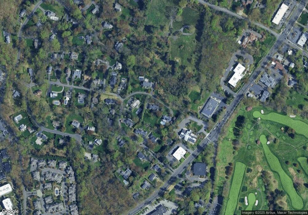
Map
Nearby Homes
- 42 Kings Hwy S
- 13 Hills Ln
- 13 Orchard Hill Rd
- 33 Pequot Trail
- 15 Renzulli Rd
- 7 Renzulli Rd
- 26 Treadwell Ave
- 505 Westport Ave
- 14 Strathmore Ln
- 7 Peaceful Ln
- 142 Wolfpit Ave
- 202 Bradley Ln Unit 202
- 100 Wolfpit Ave Unit 2
- 100 Wolfpit Ave Unit 17
- 5A Sunrise Rd
- 3 Laurel Ln
- 21 Wright St
- 5 Franklin Ave
- 80 County St Unit 9K
- 80 County St Unit 3A