14 Abner Point Rd Bailey Island, ME 04003
Harpswell NeighborhoodEstimated Value: $837,000 - $1,057,000
2
Beds
2
Baths
1,760
Sq Ft
$552/Sq Ft
Est. Value
About This Home
This home is located at 14 Abner Point Rd, Bailey Island, ME 04003 and is currently estimated at $971,880, approximately $552 per square foot. 14 Abner Point Rd is a home with nearby schools including Mt Ararat High School.
Ownership History
Date
Name
Owned For
Owner Type
Purchase Details
Closed on
Nov 5, 2007
Sold by
Elderkin Richard L and Elderkin Priscilla T
Bought by
Mclaughlin David P and Mcgrath Genellen
Current Estimated Value
Home Financials for this Owner
Home Financials are based on the most recent Mortgage that was taken out on this home.
Original Mortgage
$417,000
Interest Rate
6.43%
Mortgage Type
Purchase Money Mortgage
Create a Home Valuation Report for This Property
The Home Valuation Report is an in-depth analysis detailing your home's value as well as a comparison with similar homes in the area
Home Values in the Area
Average Home Value in this Area
Purchase History
| Date | Buyer | Sale Price | Title Company |
|---|---|---|---|
| Mclaughlin David P | -- | -- |
Source: Public Records
Mortgage History
| Date | Status | Borrower | Loan Amount |
|---|---|---|---|
| Open | Mclaughlin David P | $391,873 | |
| Closed | Mclaughlin David P | $417,000 |
Source: Public Records
Tax History Compared to Growth
Tax History
| Year | Tax Paid | Tax Assessment Tax Assessment Total Assessment is a certain percentage of the fair market value that is determined by local assessors to be the total taxable value of land and additions on the property. | Land | Improvement |
|---|---|---|---|---|
| 2024 | $3,301 | $519,000 | $334,000 | $185,000 |
| 2023 | $3,166 | $519,000 | $334,000 | $185,000 |
| 2022 | $3,062 | $519,000 | $334,000 | $185,000 |
| 2021 | $3,108 | $459,700 | $314,800 | $144,900 |
| 2020 | $3,098 | $459,700 | $314,800 | $144,900 |
| 2019 | $3,080 | $459,700 | $314,800 | $144,900 |
| 2018 | $2,979 | $459,700 | $314,800 | $144,900 |
| 2017 | $2,970 | $459,700 | $314,800 | $144,900 |
| 2016 | $2,942 | $459,700 | $314,800 | $144,900 |
| 2015 | $2,869 | $459,700 | $314,800 | $144,900 |
| 2013 | $2,657 | $459,700 | $314,800 | $144,900 |
Source: Public Records
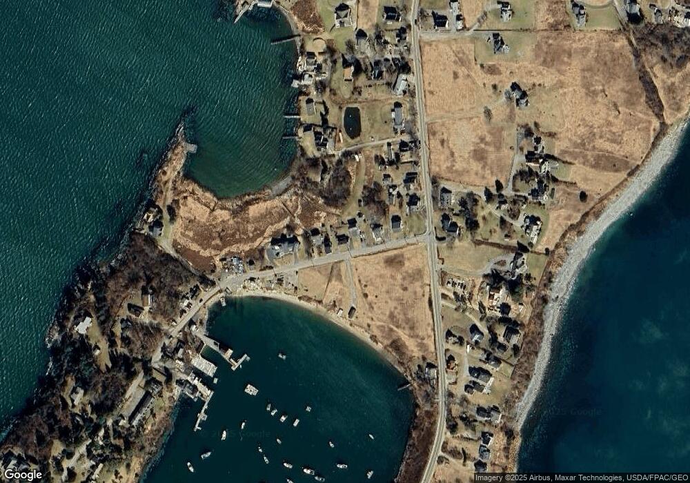
Map
Nearby Homes
- 19 Hugh Ave
- 20 Spruce Ledge Rd
- 10 S Colony Branch Rd
- 30 Osbourne Row
- 10 Irene Ave
- 8 & 2 Kane Ln
- 6 Kane Ln
- 18 Ash Point Rd
- 16 Ash Point Rd Unit 16
- 87 Lowells Cove Rd
- 1689 Harpswell Islands Rd
- 1450 Harpswell Neck Rd
- 1 Mallard Pond Rd
- 20 Long Point Island
- 0 Bayview Rd Unit 2 1632776
- 41 Spruce Brook Dr
- Lot 2A Allen Point Rd
- Lot 2B Allen Point Rd
- Lot 129 Harpswell Neck Rd
- lot C Long Point Rd
- 12 Abner Point Rd
- 16 Abner Point Rd
- 18 Abner Point Rd
- 8 Abner Point Rd
- 4 & 6 Abner Point Rd
- 6 Abner Point Rd
- 15 Linwood Ln
- 26 Abner Point Rd
- 0 Abner Point Unit 1342488
- 0 Abner Point Unit 1011842
- 00 Abner Point Rd
- 2170 Harpswell Islands Rd
- 30 Abner Point Rd
- 19 Linwood Ln
- 25 Abner Point Rd
- 2160 Harpswell Islands Rd
- 2171 Harpswell Islands Rd
- 2156 Harpswell Islands Rd
- 22 Dolphin Ln
- Lot #38 Abner Point