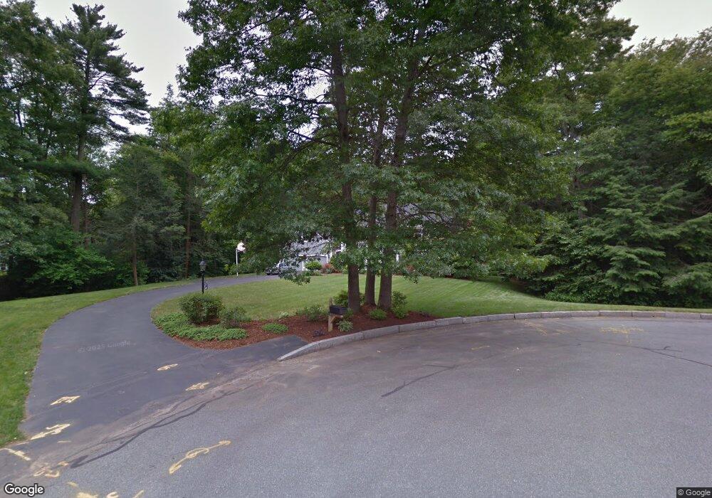
14 Adam Ln Hanover, MA 02339
Estimated Value: $917,955 - $1,566,000
4
Beds
3
Baths
2,520
Sq Ft
$455/Sq Ft
Est. Value
About This Home
This home is located at 14 Adam Ln, Hanover, MA 02339 and is currently estimated at $1,146,989, approximately $455 per square foot. 14 Adam Ln is a home located in Plymouth County with nearby schools including Hanover High School, Calvary Chapel Academy, and Holy Family Elementary School.
Ownership History
Date
Name
Owned For
Owner Type
Purchase Details
Closed on
Sep 30, 2021
Sold by
Budreau David J and Budreau Janet D
Bought by
Budreau Ret
Current Estimated Value
Purchase Details
Closed on
Jul 22, 1989
Sold by
Ryan And Camera
Bought by
Budreau David J
Create a Home Valuation Report for This Property
The Home Valuation Report is an in-depth analysis detailing your home's value as well as a comparison with similar homes in the area
Home Values in the Area
Average Home Value in this Area
Purchase History
| Date | Buyer | Sale Price | Title Company |
|---|---|---|---|
| Budreau Ret | -- | None Available | |
| Budreau David J | $315,000 | -- |
Source: Public Records
Mortgage History
| Date | Status | Borrower | Loan Amount |
|---|---|---|---|
| Previous Owner | Budreau David J | $200,000 | |
| Previous Owner | Budreau David J | $175,839 | |
| Previous Owner | Budreau David J | $100,000 |
Source: Public Records
Tax History
| Year | Tax Paid | Tax Assessment Tax Assessment Total Assessment is a certain percentage of the fair market value that is determined by local assessors to be the total taxable value of land and additions on the property. | Land | Improvement |
|---|---|---|---|---|
| 2025 | $11,052 | $894,900 | $336,400 | $558,500 |
| 2024 | $10,791 | $840,400 | $336,400 | $504,000 |
| 2023 | $10,432 | $773,300 | $306,100 | $467,200 |
| 2022 | $10,185 | $667,900 | $255,200 | $412,700 |
| 2021 | $10,002 | $612,500 | $232,100 | $380,400 |
| 2020 | $9,714 | $595,600 | $232,100 | $363,500 |
| 2019 | $9,383 | $571,800 | $232,100 | $339,700 |
| 2018 | $434 | $541,300 | $232,100 | $309,200 |
| 2017 | $8,883 | $537,700 | $237,400 | $300,300 |
| 2016 | $8,587 | $509,300 | $215,800 | $293,500 |
| 2015 | $8,542 | $528,900 | $235,400 | $293,500 |
Source: Public Records
Map
Nearby Homes
- 738 Whiting St
- 206-208 Hinghm St
- 14 Pleasant View Park
- 18 Winterberry Ln
- 73 Shingle Mill Ln
- 55 Turner Rd
- 8 Blueberry Ct
- 5 Blueberry Ct
- 18 Colby St
- 436 E Water St
- 36 Bayberry Ln
- 50 Village Ln
- 7 Boxberry Ln Unit 7
- 46 Brookwood Rd
- 40 Summit St
- 98 Myrtle St
- 48 Bigelow Ave
- 21 Liberty Ct
- 737-739 Union St
- 17 Pine Haven Cir
Your Personal Tour Guide
Ask me questions while you tour the home.