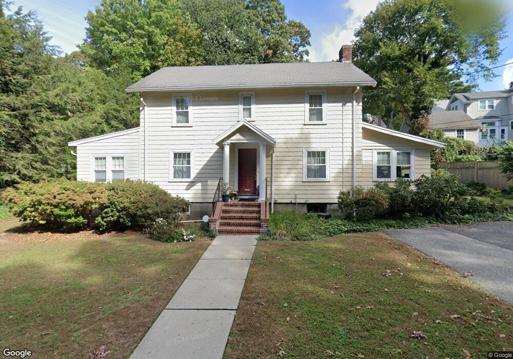
14 Aspen Ave Auburndale, MA 02466
Auburndale NeighborhoodEstimated Value: $1,395,327 - $1,595,000
3
Beds
2
Baths
1,856
Sq Ft
$800/Sq Ft
Est. Value
About This Home
This home is located at 14 Aspen Ave, Auburndale, MA 02466 and is currently estimated at $1,484,332, approximately $799 per square foot. 14 Aspen Ave is a home located in Middlesex County with nearby schools including Williams Elementary School, Charles E Brown Middle School, and Newton South High School.
Ownership History
Date
Name
Owned For
Owner Type
Purchase Details
Closed on
Jun 20, 2003
Sold by
Marini Angela M and Marini Ronald A
Bought by
Marini Angela M
Current Estimated Value
Purchase Details
Closed on
Jan 4, 1995
Sold by
Bergin Paul F and Bergin Jane V
Bought by
Marini Ronald A and Marini Angela M
Home Financials for this Owner
Home Financials are based on the most recent Mortgage that was taken out on this home.
Original Mortgage
$165,000
Interest Rate
9.23%
Mortgage Type
Purchase Money Mortgage
Create a Home Valuation Report for This Property
The Home Valuation Report is an in-depth analysis detailing your home's value as well as a comparison with similar homes in the area
Home Values in the Area
Average Home Value in this Area
Purchase History
| Date | Buyer | Sale Price | Title Company |
|---|---|---|---|
| Marini Angela M | -- | -- | |
| Marini Ronald A | $305,000 | -- |
Source: Public Records
Mortgage History
| Date | Status | Borrower | Loan Amount |
|---|---|---|---|
| Previous Owner | Marini Ronald A | $170,000 | |
| Previous Owner | Marini Ronald A | $165,000 | |
| Previous Owner | Marini Ronald A | $75,000 | |
| Previous Owner | Marini Ronald A | $10,000 |
Source: Public Records
Tax History Compared to Growth
Tax History
| Year | Tax Paid | Tax Assessment Tax Assessment Total Assessment is a certain percentage of the fair market value that is determined by local assessors to be the total taxable value of land and additions on the property. | Land | Improvement |
|---|---|---|---|---|
| 2025 | $13,101 | $1,336,800 | $1,111,800 | $225,000 |
| 2024 | $12,668 | $1,297,900 | $1,079,400 | $218,500 |
| 2023 | $12,023 | $1,181,000 | $825,100 | $355,900 |
| 2022 | $11,504 | $1,093,500 | $764,000 | $329,500 |
| 2021 | $11,100 | $1,031,600 | $720,800 | $310,800 |
| 2020 | $10,770 | $1,031,600 | $720,800 | $310,800 |
| 2019 | $10,467 | $1,001,600 | $699,800 | $301,800 |
| 2018 | $9,965 | $921,000 | $639,500 | $281,500 |
| 2017 | $9,662 | $868,900 | $603,300 | $265,600 |
| 2016 | $9,242 | $812,100 | $563,800 | $248,300 |
| 2015 | $8,812 | $759,000 | $526,900 | $232,100 |
Source: Public Records
Map
Nearby Homes
- 17 Lasell St
- 27 Oakwood Rd
- 283 Woodland Rd
- 224 Auburn St Unit 224
- 224 Auburn St Unit A
- 226 Auburn St Unit 226
- 1754 Washington St
- 283 Melrose St
- 2202 Commonwealth Ave Unit 2
- 2202 Commonwealth Ave Unit 1
- 1639 Washington St
- 13 Weir St
- 17 Gilbert St
- 62-64 Rowe St Unit B
- 51 Bourne St
- 17 Deforest Rd
- 1640 Commonwealth Ave
- 2084 Washington St
- 0 Duncan Rd Unit 72925240
- 17 Crescent St
- 85 Hawthorne Ave
- 6 Aspen Ave
- 96 Lake Ave
- 79 Hawthorne Ave
- 73 Hawthorne Ave
- 27 Aspen Ave
- 63 Hawthorne Ave
- 33 Aspen Ave
- 101 Hawthorne Ave
- 57 Hawthorne Ave
- 96 Hawthorne Ave
- 0 Hawthorne Ave
- 107 Hawthorne Ave
- 98 Hawthorne Ave
- 41 Aspen Ave
- 111 Hawthorne Ave
- 51 Hawthorne Ave
- 78 Hawthorne Ave
- 78 Hawthorn St
- 110 Hawthorne Ave