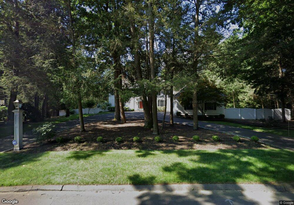
14 Aspenwood Dr Weatogue, CT 06089
Estimated Value: $1,076,636 - $1,136,000
4
Beds
6
Baths
4,067
Sq Ft
$272/Sq Ft
Est. Value
About This Home
This home is located at 14 Aspenwood Dr, Weatogue, CT 06089 and is currently estimated at $1,105,545, approximately $271 per square foot. 14 Aspenwood Dr is a home located in Hartford County with nearby schools including Central School, Henry James Memorial School, and Simsbury High School.
Ownership History
Date
Name
Owned For
Owner Type
Purchase Details
Closed on
Aug 10, 1992
Sold by
Newell Charles and Holderness Mary
Bought by
M & K Realty Inc
Current Estimated Value
Purchase Details
Closed on
Jan 22, 1992
Sold by
Ensign Bickford Realty
Bought by
Holderness Mary Kaye
Create a Home Valuation Report for This Property
The Home Valuation Report is an in-depth analysis detailing your home's value as well as a comparison with similar homes in the area
Home Values in the Area
Average Home Value in this Area
Purchase History
| Date | Buyer | Sale Price | Title Company |
|---|---|---|---|
| M & K Realty Inc | $135,000 | -- | |
| Holderness Mary Kaye | $13,500 | -- |
Source: Public Records
Mortgage History
| Date | Status | Borrower | Loan Amount |
|---|---|---|---|
| Open | Holderness Mary Kaye | $134,858 | |
| Closed | Holderness Mary Kaye | $200,001 | |
| Closed | Holderness Mary Kaye | $310,000 |
Source: Public Records
Tax History Compared to Growth
Tax History
| Year | Tax Paid | Tax Assessment Tax Assessment Total Assessment is a certain percentage of the fair market value that is determined by local assessors to be the total taxable value of land and additions on the property. | Land | Improvement |
|---|---|---|---|---|
| 2025 | $21,420 | $627,060 | $116,340 | $510,720 |
| 2024 | $20,887 | $627,060 | $116,340 | $510,720 |
| 2023 | $19,953 | $627,060 | $116,340 | $510,720 |
| 2022 | $20,420 | $528,600 | $120,880 | $407,720 |
| 2021 | $20,420 | $528,600 | $120,880 | $407,720 |
| 2020 | $19,606 | $528,600 | $120,880 | $407,720 |
| 2019 | $19,727 | $528,600 | $120,880 | $407,720 |
| 2018 | $19,870 | $528,600 | $120,880 | $407,720 |
| 2017 | $17,321 | $446,880 | $117,740 | $329,140 |
| 2016 | $16,588 | $446,880 | $117,740 | $329,140 |
| 2015 | $16,588 | $446,880 | $117,740 | $329,140 |
| 2014 | $16,597 | $446,880 | $117,740 | $329,140 |
Source: Public Records
Map
Nearby Homes
- 17 Prospect Ridge
- 15 Sand Hill Rd
- 12 Simsbury Manor Dr
- 1 Ashton Cir
- 308 Hopmeadow St
- 1 Riverwalk Dr
- 1 Mathers Crossing
- 302 Bushy Hill Rd
- 3 Stebbins Brook Ln
- 4 Stebbins Brook Ln
- 301 Bushy Hill Rd
- 29 Fawnbrook Ln
- 51 Pine Glen Rd
- 17 Amy Ln
- 37 Farms Village Rd
- 6 Mill Pond Ln Unit B
- 40 Woodland St
- 5 Fox Den Rd
- 9 Cobtail Way
- 8 Crane Place
- 16 Aspenwood Dr
- 12 Aspenwood Dr
- 9 Aspenwood Dr
- 18 Aspenwood Dr
- 11 Aspenwood Dr
- 10 Aspenwood Dr
- 15 Aspenwood Dr
- 7 Aspenwood Dr
- 8 Aspenwood Dr
- 6 Red Oak Ct
- 4 Red Oak Ct
- 17 Aspenwood Dr
- 20 Aspenwood Dr
- 76 Sand Hill Rd
- 78 Sand Hill Rd
- 22 Aspenwood Dr
- 23 Stillwood Chase
- 19 Aspenwood Dr
- 3 Red Oak Ct
- 19 Stillwood Chase