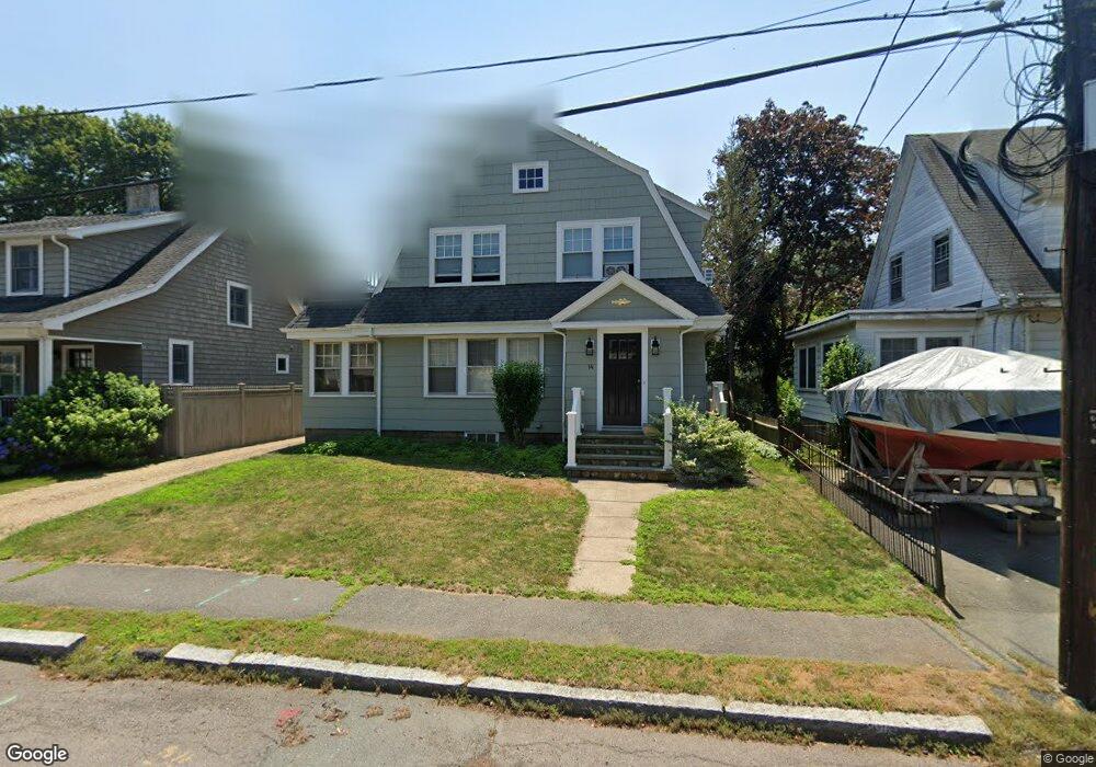
14 Birch St Marblehead, MA 01945
Estimated Value: $864,061 - $1,048,000
3
Beds
2
Baths
1,657
Sq Ft
$569/Sq Ft
Est. Value
About This Home
This home is located at 14 Birch St, Marblehead, MA 01945 and is currently estimated at $942,765, approximately $568 per square foot. 14 Birch St is a home located in Essex County with nearby schools including Marblehead High School, Tower School, and Devereux School.
Ownership History
Date
Name
Owned For
Owner Type
Purchase Details
Closed on
Sep 23, 2011
Sold by
Ross-Pavlovich Alison P
Bought by
A P Ross-Pavlovich Ret
Current Estimated Value
Purchase Details
Closed on
Jun 30, 2004
Sold by
Russell John D and Russell Judith S
Bought by
Pavlovich Alison
Create a Home Valuation Report for This Property
The Home Valuation Report is an in-depth analysis detailing your home's value as well as a comparison with similar homes in the area
Home Values in the Area
Average Home Value in this Area
Purchase History
| Date | Buyer | Sale Price | Title Company |
|---|---|---|---|
| A P Ross-Pavlovich Ret | -- | -- | |
| A P Ross-Pavlovich Ret | -- | -- | |
| Pavlovich Alison | $537,000 | -- | |
| Pavlovich Alison | $537,000 | -- |
Source: Public Records
Mortgage History
| Date | Status | Borrower | Loan Amount |
|---|---|---|---|
| Previous Owner | Pavlovich Alison | $260,000 | |
| Previous Owner | Pavlovich Alison | $50,000 |
Source: Public Records
Tax History
| Year | Tax Paid | Tax Assessment Tax Assessment Total Assessment is a certain percentage of the fair market value that is determined by local assessors to be the total taxable value of land and additions on the property. | Land | Improvement |
|---|---|---|---|---|
| 2025 | $7,430 | $821,000 | $518,000 | $303,000 |
| 2024 | $7,263 | $810,600 | $518,000 | $292,600 |
| 2023 | $7,059 | $705,900 | $471,900 | $234,000 |
| 2022 | $6,888 | $654,800 | $425,900 | $228,900 |
| 2021 | $6,427 | $616,800 | $391,400 | $225,400 |
| 2020 | $6,292 | $605,600 | $391,400 | $214,200 |
| 2019 | $6,040 | $562,400 | $356,800 | $205,600 |
| 2018 | $5,944 | $539,400 | $333,800 | $205,600 |
| 2017 | $5,651 | $513,300 | $310,800 | $202,500 |
| 2016 | $5,442 | $490,300 | $287,800 | $202,500 |
| 2015 | $5,177 | $467,200 | $264,700 | $202,500 |
| 2014 | $4,792 | $432,100 | $241,700 | $190,400 |
Source: Public Records
Map
Nearby Homes
- 4 Dean Rd
- 33 W Shore Dr
- 12 Pickwick Rd
- 282 Pleasant St
- 11 Angenica Terrace
- 70 Maverick St
- 212 Humphrey St Unit 205
- 30 Haley Rd Unit 1
- 48 Bellevue Rd
- 23 Wyman Rd
- 4 Fairview Rd
- 7 Cottage St
- 6 Mount Vernon St
- 290 Washington St Unit A
- 41 Atlantic Ave Unit 1
- 106 Broadway Unit 3
- 326 Lafayette St Unit 2
- 24 Wisteria St Unit 2
- 1 Shore Ave
- 1 Knollwood Rd
Your Personal Tour Guide
Ask me questions while you tour the home.