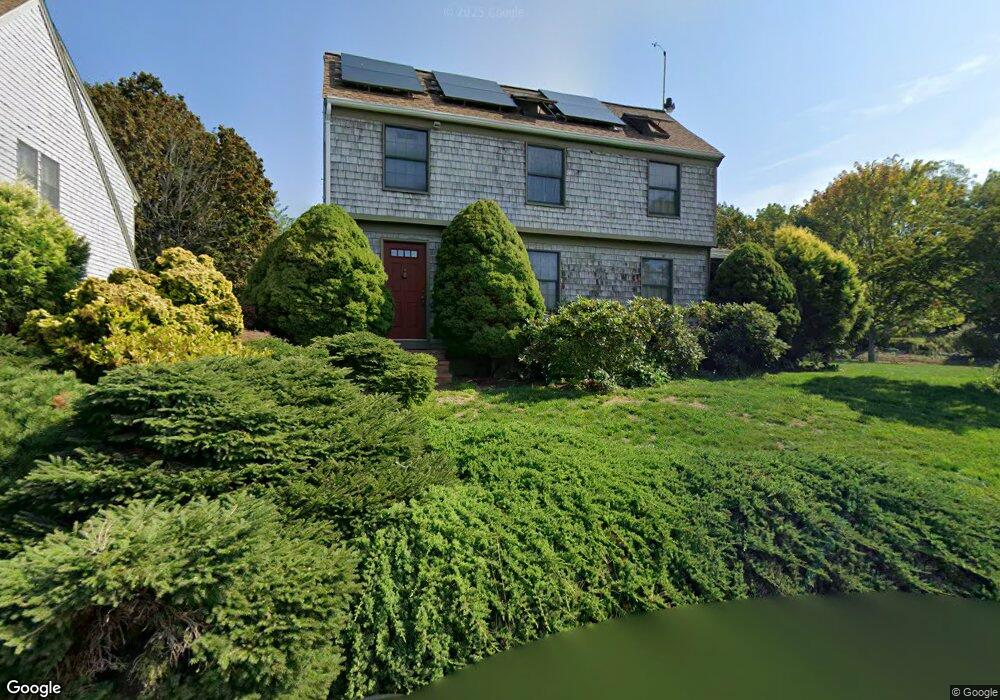
14 Butternut Ln Gloucester, MA 01930
Estimated Value: $991,904 - $1,212,000
3
Beds
4
Baths
2,351
Sq Ft
$471/Sq Ft
Est. Value
About This Home
This home is located at 14 Butternut Ln, Gloucester, MA 01930 and is currently estimated at $1,106,226, approximately $470 per square foot. 14 Butternut Ln is a home located in Essex County with nearby schools including Plum Cove School, Ralph B O'maley Middle School, and Gloucester High School.
Ownership History
Date
Name
Owned For
Owner Type
Purchase Details
Closed on
Apr 26, 2012
Sold by
Dangelmayer G T and Dangelmayer Lindy
Bought by
Dangelmayer Rt
Current Estimated Value
Purchase Details
Closed on
Sep 12, 2002
Sold by
Smith Dale J and Smith Paula B
Bought by
Dangelmayer G Theodore and Dangelmayer Lindy
Create a Home Valuation Report for This Property
The Home Valuation Report is an in-depth analysis detailing your home's value as well as a comparison with similar homes in the area
Purchase History
| Date | Buyer | Sale Price | Title Company |
|---|---|---|---|
| Dangelmayer Rt | -- | -- | |
| Dangelmayer G Theodore | $525,000 | -- |
Source: Public Records
Mortgage History
| Date | Status | Borrower | Loan Amount |
|---|---|---|---|
| Open | Dangelmayer G Theodore | $87,000 | |
| Previous Owner | Dangelmayer G Theodore | $300,000 | |
| Previous Owner | Dangelmayer G Theodore | $200,000 |
Source: Public Records
Tax History
| Year | Tax Paid | Tax Assessment Tax Assessment Total Assessment is a certain percentage of the fair market value that is determined by local assessors to be the total taxable value of land and additions on the property. | Land | Improvement |
|---|---|---|---|---|
| 2025 | $7,433 | $764,700 | $166,400 | $598,300 |
| 2024 | $7,364 | $756,800 | $158,500 | $598,300 |
| 2023 | $7,031 | $663,900 | $141,500 | $522,400 |
| 2022 | $6,809 | $580,500 | $123,100 | $457,400 |
| 2021 | $6,570 | $528,100 | $111,900 | $416,200 |
| 2020 | $6,620 | $536,900 | $111,900 | $425,000 |
| 2019 | $6,294 | $496,000 | $111,900 | $384,100 |
| 2018 | $6,054 | $468,200 | $111,900 | $356,300 |
| 2017 | $5,860 | $444,300 | $106,600 | $337,700 |
| 2016 | $5,063 | $372,000 | $111,200 | $260,800 |
| 2015 | $4,780 | $350,200 | $111,200 | $239,000 |
Source: Public Records
Map
Nearby Homes
- 672 Washington St
- 136 Leonard St
- 2 Breezy Point Rd
- 4 Ciaramitaro Ct
- 226 Atlantic St
- 178 Atlantic St
- 167 Atlantic St
- 3 Deacon Farm Ln
- 13 Honeysuckle Rd
- 31 Echo Ave
- 9 Hickory St
- 1030 Washington St
- 43 High St Unit B
- 10 Emerald St
- 13 Mystic Ave
- 8 Mystic Ave
- 3 Rockland St
- 6 Monroe Ct
- 98 Maplewood Ave
- 12 Arthur St
- 12 Butternut Ln
- 4 Burns Way
- 16 Butternut Ln
- 7 Butternut Ln
- 3 Bittersweet Rd
- 8 Butternut Ln
- 5 Bittersweet Rd
- 9 Butternut Ln
- 6 Burns Way
- 731 Washington St
- 1 Bittersweet Rd
- 4 Butternut Ln
- 729 Washington St
- 717 Washington St
- 723 Washington St
- 8 Bittersweet Rd
- 742 Washington St
- 742 Washington St Unit 1
- 740R Washington St
- 740 Washington St
Your Personal Tour Guide
Ask me questions while you tour the home.