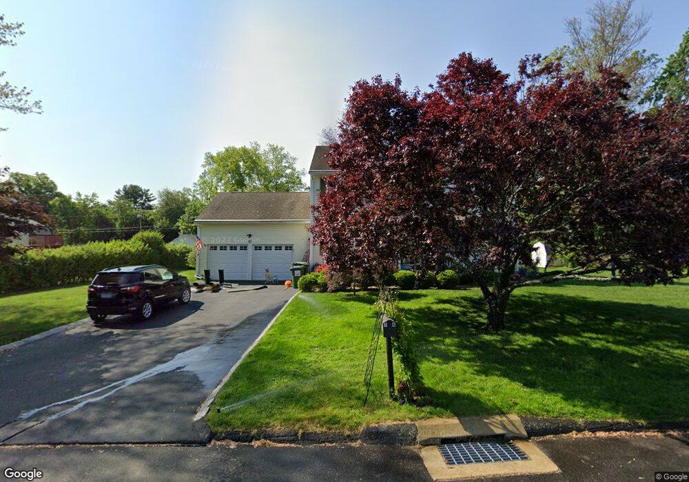
14 Cedar St Trumbull, CT 06611
West Trumbull NeighborhoodEstimated Value: $696,000 - $829,000
4
Beds
5
Baths
2,654
Sq Ft
$281/Sq Ft
Est. Value
About This Home
This home is located at 14 Cedar St, Trumbull, CT 06611 and is currently estimated at $746,135, approximately $281 per square foot. 14 Cedar St is a home located in Fairfield County with nearby schools including Frenchtown Elementary School, Madison Middle School, and Trumbull High School.
Ownership History
Date
Name
Owned For
Owner Type
Purchase Details
Closed on
Sep 30, 1996
Sold by
Brennan Thomas
Bought by
Obrien Jeffrey A and Obrien Lori A
Current Estimated Value
Home Financials for this Owner
Home Financials are based on the most recent Mortgage that was taken out on this home.
Original Mortgage
$160,000
Outstanding Balance
$14,352
Interest Rate
7.83%
Mortgage Type
Unknown
Estimated Equity
$731,783
Purchase Details
Closed on
Aug 8, 1995
Sold by
Est Merola Arcangela and Ovens Carmella
Bought by
Brennan Thomas
Create a Home Valuation Report for This Property
The Home Valuation Report is an in-depth analysis detailing your home's value as well as a comparison with similar homes in the area
Home Values in the Area
Average Home Value in this Area
Purchase History
| Date | Buyer | Sale Price | Title Company |
|---|---|---|---|
| Obrien Jeffrey A | $215,000 | -- | |
| Brennan Thomas | $70,000 | -- |
Source: Public Records
Mortgage History
| Date | Status | Borrower | Loan Amount |
|---|---|---|---|
| Open | Brennan Thomas | $50,000 | |
| Closed | Brennan Thomas | $50,000 | |
| Open | Brennan Thomas | $160,000 |
Source: Public Records
Tax History
| Year | Tax Paid | Tax Assessment Tax Assessment Total Assessment is a certain percentage of the fair market value that is determined by local assessors to be the total taxable value of land and additions on the property. | Land | Improvement |
|---|---|---|---|---|
| 2025 | $13,846 | $376,810 | $145,180 | $231,630 |
| 2024 | $10,363 | $290,220 | $145,180 | $145,040 |
| 2023 | $10,197 | $290,220 | $145,180 | $145,040 |
| 2022 | $10,033 | $290,220 | $145,180 | $145,040 |
| 2021 | $9,227 | $253,750 | $118,790 | $134,960 |
| 2020 | $9,050 | $253,750 | $118,790 | $134,960 |
| 2018 | $8,847 | $253,750 | $118,790 | $134,960 |
| 2017 | $8,683 | $253,750 | $118,790 | $134,960 |
| 2016 | $8,460 | $253,750 | $118,790 | $134,960 |
| 2015 | $8,545 | $255,300 | $118,800 | $136,500 |
| 2014 | $7,971 | $243,300 | $118,800 | $124,500 |
Source: Public Records
Map
Nearby Homes
- lot 194 Prospect Ave
- 3432 Old Town Rd
- 3460 Old Town Rd
- 18 Ridgebury Dr
- 8 Raleigh Rd
- 121 Campbell Rd
- 3125 Old Town Rd
- 105 Daniel Dr
- 69 Seaver Cir
- 170 Marilyn Dr
- 217 Macon Dr
- 25 Plymouth Ave
- 99 Quinsey Dr
- 5763 Park Ave
- 5385 Main St
- 110 Minturn Rd
- 114 Minturn Place
- 252 Bear Paw Rd
- 26 Grove St
- 65 Bonnie View Dr
- 889 Plattsville Rd
- 909 Plattsville Rd
- 10 Cedar St
- 18 Cedar St
- 15 Cedar St
- 869 Plattsville Rd
- 9 Cedar St
- 19 Cedar St
- 4219 Madison Ave
- 22 Cedar St
- 4223 Madison Ave
- 849 Plattsville Rd
- 15 Maple St
- 900 Plattsville Rd
- 23 Maple St
- 23 Cedar St
- 866 Plattsville Rd
- 11 Maple St
- 11 Maple St Unit left unit
- 11 Maple St Unit 2
Your Personal Tour Guide
Ask me questions while you tour the home.