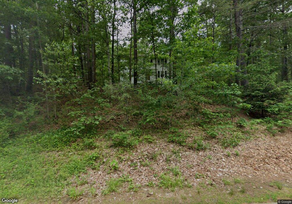
14 Charleston Ave Londonderry, NH 03053
Estimated Value: $503,050 - $584,000
3
Beds
2
Baths
1,360
Sq Ft
$403/Sq Ft
Est. Value
About This Home
This home is located at 14 Charleston Ave, Londonderry, NH 03053 and is currently estimated at $548,263, approximately $403 per square foot. 14 Charleston Ave is a home with nearby schools including South Londonderry Elementary School, Londonderry Middle School, and Londonderry Senior High School.
Ownership History
Date
Name
Owned For
Owner Type
Purchase Details
Closed on
Apr 18, 2012
Sold by
Theodore Sheila J and Theodore Stratton
Bought by
Theodore Sheila J and Theodore Stratton
Current Estimated Value
Home Financials for this Owner
Home Financials are based on the most recent Mortgage that was taken out on this home.
Original Mortgage
$227,073
Outstanding Balance
$160,981
Interest Rate
4.25%
Mortgage Type
FHA
Estimated Equity
$387,282
Purchase Details
Closed on
Aug 20, 1996
Sold by
Brown Lonnie V and Brown Carol K
Bought by
Theodore Sheila J
Home Financials for this Owner
Home Financials are based on the most recent Mortgage that was taken out on this home.
Original Mortgage
$84,250
Interest Rate
8.08%
Create a Home Valuation Report for This Property
The Home Valuation Report is an in-depth analysis detailing your home's value as well as a comparison with similar homes in the area
Home Values in the Area
Average Home Value in this Area
Purchase History
| Date | Buyer | Sale Price | Title Company |
|---|---|---|---|
| Theodore Sheila J | -- | -- | |
| Theodore Sheila J | $84,500 | -- |
Source: Public Records
Mortgage History
| Date | Status | Borrower | Loan Amount |
|---|---|---|---|
| Open | Theodore Stratton | $22,571 | |
| Open | Theodore Sheila J | $227,073 | |
| Previous Owner | Theodore Sheila J | $83,298 | |
| Previous Owner | Theodore Sheila J | $84,250 |
Source: Public Records
Tax History Compared to Growth
Tax History
| Year | Tax Paid | Tax Assessment Tax Assessment Total Assessment is a certain percentage of the fair market value that is determined by local assessors to be the total taxable value of land and additions on the property. | Land | Improvement |
|---|---|---|---|---|
| 2024 | $6,537 | $405,000 | $182,600 | $222,400 |
| 2023 | $6,338 | $405,000 | $182,600 | $222,400 |
| 2022 | $5,951 | $322,000 | $137,100 | $184,900 |
| 2021 | $5,918 | $322,000 | $137,100 | $184,900 |
| 2020 | $5,766 | $286,700 | $113,800 | $172,900 |
| 2019 | $5,559 | $286,700 | $113,800 | $172,900 |
| 2018 | $5,069 | $232,500 | $95,100 | $137,400 |
| 2017 | $5,024 | $232,500 | $95,100 | $137,400 |
| 2016 | $4,999 | $232,500 | $95,100 | $137,400 |
| 2015 | $4,887 | $232,500 | $95,100 | $137,400 |
| 2014 | $4,903 | $232,500 | $95,100 | $137,400 |
| 2011 | -- | $238,600 | $95,100 | $143,500 |
Source: Public Records
Map
Nearby Homes
- 3 Elise Ave Unit 95
- 12 Elise Ave Unit 6
- 14 Elise Ave Unit 7
- 8 Elise Ave Unit Lot 4
- 9 Elise Ave Unit Lot 92
- 10 Elise Ave Unit Lot 5
- 10 Elise Ave Unit 5
- 7 Elise Ave Unit Lot 93
- 6 Elise Ave Unit Lot 3
- 6 Elise Ave Unit 3
- 1 Elise Ave Unit Lot 96
- 36 Elise Ave Unit Lot 18
- 12 Morrison Dr
- 6 Michael Ave
- 66 Derryfield Rd Unit L
- 57D Constitution Dr
- 75.5 Fordway Extension
- 75 Fordway Extension
- 36 Stonegate Ln
- 51 Fordway Extension
- 18 Charleston Ave
- 12 Boston Ave Unit 1
- 12 Boston Ave Unit 3
- 12 Boston Ave Unit 1
- 12 Boston Ave Unit 4
- 20 Charleston Ave
- 10 Boston Ave
- 25 Charleston Ave
- 22 Charleston Ave
- 6 Boston Ave Unit 1a
- 6 Boston Ave
- 23 Charleston Ave
- 31 Charleston Ave
- 33 Charleston Ave
- 5 Boston Ave
- 24 Charleston Ave
- 8 Charleston Ave
- 27 Charleston Ave
- 35 Charleston Ave
- 13 Charleston Ave Unit 33