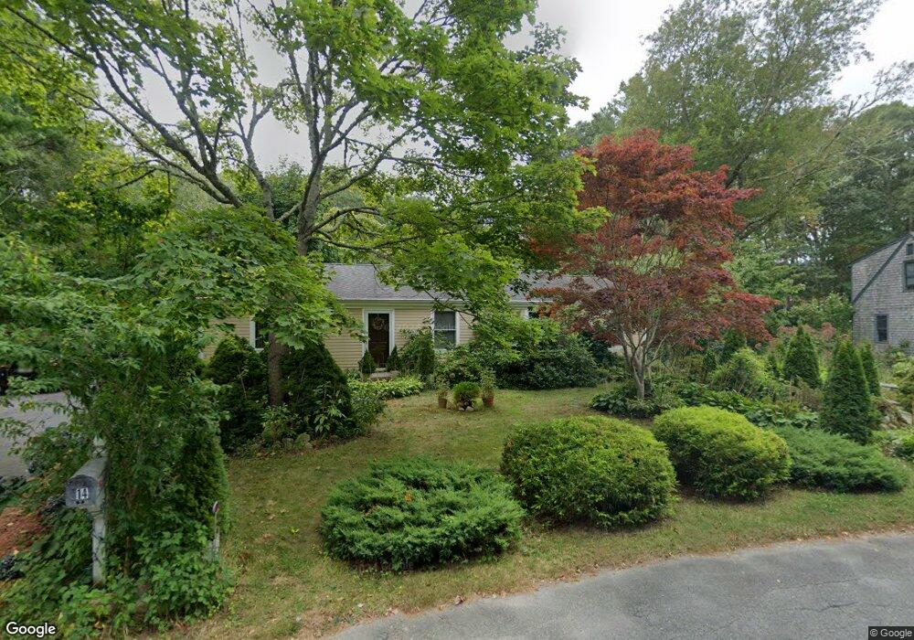
14 Clearwater Dr East Falmouth, MA 02536
Hatchville NeighborhoodEstimated Value: $527,730 - $590,000
3
Beds
2
Baths
1,276
Sq Ft
$438/Sq Ft
Est. Value
About This Home
This home is located at 14 Clearwater Dr, East Falmouth, MA 02536 and is currently estimated at $558,865, approximately $437 per square foot. 14 Clearwater Dr is a home located in Barnstable County with nearby schools including Mullen-Hall School, Morse Pond School, and Lawrence School.
Ownership History
Date
Name
Owned For
Owner Type
Purchase Details
Closed on
Jul 18, 2006
Sold by
Mitcho Edward A
Bought by
Mitcho Debra A and Mitcho Edward A
Current Estimated Value
Purchase Details
Closed on
Apr 15, 1992
Sold by
Sylvester Frank W and Sylvester Carol
Bought by
Mitcho Edward A
Home Financials for this Owner
Home Financials are based on the most recent Mortgage that was taken out on this home.
Original Mortgage
$60,000
Interest Rate
8.75%
Mortgage Type
Purchase Money Mortgage
Create a Home Valuation Report for This Property
The Home Valuation Report is an in-depth analysis detailing your home's value as well as a comparison with similar homes in the area
Home Values in the Area
Average Home Value in this Area
Purchase History
| Date | Buyer | Sale Price | Title Company |
|---|---|---|---|
| Mitcho Debra A | -- | -- | |
| Mitcho Debra A | -- | -- | |
| Mitcho Edward A | $85,000 | -- | |
| Mitcho Edward A | $85,000 | -- |
Source: Public Records
Mortgage History
| Date | Status | Borrower | Loan Amount |
|---|---|---|---|
| Open | Mitcho Edward A | $62,100 | |
| Previous Owner | Mitcho Edward A | $60,000 |
Source: Public Records
Tax History Compared to Growth
Tax History
| Year | Tax Paid | Tax Assessment Tax Assessment Total Assessment is a certain percentage of the fair market value that is determined by local assessors to be the total taxable value of land and additions on the property. | Land | Improvement |
|---|---|---|---|---|
| 2025 | $2,624 | $447,100 | $149,800 | $297,300 |
| 2024 | $2,589 | $412,200 | $141,900 | $270,300 |
| 2023 | $2,404 | $347,400 | $141,900 | $205,500 |
| 2022 | $2,303 | $286,100 | $107,000 | $179,100 |
| 2021 | $2,219 | $261,100 | $102,300 | $158,800 |
| 2020 | $2,163 | $251,800 | $93,000 | $158,800 |
| 2019 | $2,075 | $242,400 | $93,000 | $149,400 |
| 2018 | $2,009 | $233,600 | $93,000 | $140,600 |
| 2017 | $1,952 | $228,800 | $93,000 | $135,800 |
| 2016 | $1,912 | $228,400 | $93,000 | $135,400 |
| 2015 | $1,871 | $228,400 | $93,000 | $135,400 |
| 2014 | $1,893 | $232,300 | $97,900 | $134,400 |
Source: Public Records
Map
Nearby Homes
- 68 Deepwood Dr
- 17 Pinewood Dr
- 25 Harris Hill Rd
- 70 Meredith Dr
- 100 Tanglewood Dr
- 590 Sandwich Rd
- 66 Braxton Rd
- 59 Whitecaps Dr
- 32 Jamie Ln
- 12 Rock Hollow Dr
- 273 Sandwich Rd
- 149 Brick Kiln Rd
- 130 Old Barnstable Rd
- 3 Viber Ln
- 33 John Parker Rd
- 35 Old Barnstable Rd
- 12 Beach Plum Path
- 25 Mill Pond Way
- 144 Strawberry Meadows
- 10 Clearwater Dr
- 18 Clearwater Dr
- 9 Clearwater Dr
- 7 Deepwood Dr
- 470 Sandwich Rd
- 462 Sandwich Rd
- 11 Deepwood Dr
- 3 Deepwood Dr
- 474 Sandwich Rd
- 24 Clearwater Dr
- 4 Clearwater Dr
- 15 Deepwood Dr
- 2 Tamarack Rd
- 3 Canterbury Ln
- 44 Tamarack Rd
- 17 Deepwood Dr
- 40 Tamarack Rd
- 4 Deepwood Dr
- 28 Clearwater Dr
- 30 Tamarack Rd