14 Coventry Ln Andover, MA 01810
Estimated Value: $1,653,000 - $2,057,000
4
Beds
3
Baths
5,013
Sq Ft
$374/Sq Ft
Est. Value
About This Home
This home is located at 14 Coventry Ln, Andover, MA 01810 and is currently estimated at $1,872,696, approximately $373 per square foot. 14 Coventry Ln is a home located in Essex County with nearby schools including Bancroft Elementary School, Doherty Middle School, and Andover High School.
Ownership History
Date
Name
Owned For
Owner Type
Purchase Details
Closed on
Jun 28, 2007
Sold by
Doherty James D and Doherty Paula R
Bought by
Rinklin R Bradley and Rinklin Ellen
Current Estimated Value
Home Financials for this Owner
Home Financials are based on the most recent Mortgage that was taken out on this home.
Original Mortgage
$700,000
Outstanding Balance
$431,546
Interest Rate
6.24%
Mortgage Type
Purchase Money Mortgage
Estimated Equity
$1,441,150
Create a Home Valuation Report for This Property
The Home Valuation Report is an in-depth analysis detailing your home's value as well as a comparison with similar homes in the area
Purchase History
| Date | Buyer | Sale Price | Title Company |
|---|---|---|---|
| Rinklin R Bradley | $1,180,000 | -- |
Source: Public Records
Mortgage History
| Date | Status | Borrower | Loan Amount |
|---|---|---|---|
| Open | Rinklin R Bradley | $700,000 |
Source: Public Records
Tax History
| Year | Tax Paid | Tax Assessment Tax Assessment Total Assessment is a certain percentage of the fair market value that is determined by local assessors to be the total taxable value of land and additions on the property. | Land | Improvement |
|---|---|---|---|---|
| 2024 | $21,029 | $1,632,700 | $705,000 | $927,700 |
| 2023 | $19,758 | $1,446,400 | $602,600 | $843,800 |
| 2022 | $18,955 | $1,298,300 | $542,900 | $755,400 |
| 2021 | $18,206 | $1,190,700 | $493,700 | $697,000 |
| 2020 | $17,701 | $1,179,300 | $493,700 | $685,600 |
| 2019 | $17,281 | $1,131,700 | $460,200 | $671,500 |
| 2018 | $16,688 | $1,067,000 | $446,700 | $620,300 |
| 2017 | $16,035 | $1,056,300 | $437,900 | $618,400 |
| 2016 | $15,706 | $1,059,800 | $437,900 | $621,900 |
| 2015 | $15,374 | $1,027,000 | $437,900 | $589,100 |
Source: Public Records
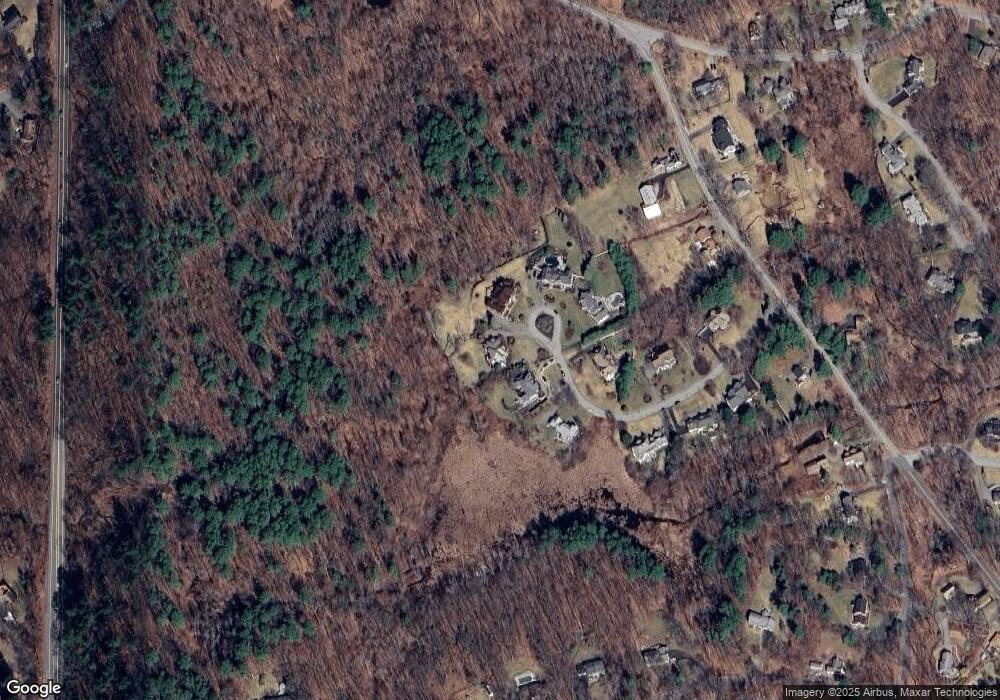
Map
Nearby Homes
- 133B Salem
- 104 Salem St
- 56 Sunset Rock Rd
- 53 Salem St
- 4 Hammond Way
- 11 Gould Rd
- 31 Porter Rd
- 3 West Hollow
- 2 Clover Cir
- 7 Sullivan St
- 3 Seneca Cir
- 5 Colonial Dr Unit B5-6
- 31 Mohawk Rd
- 1 Colonial Dr Unit C1-6
- 3 Torr St
- 100.5 Main St Unit Q
- 96 N Main St Unit 3
- 33 Chestnut St Unit 2
- 13 Taylor Cove Dr Unit 31
- 105 Central St