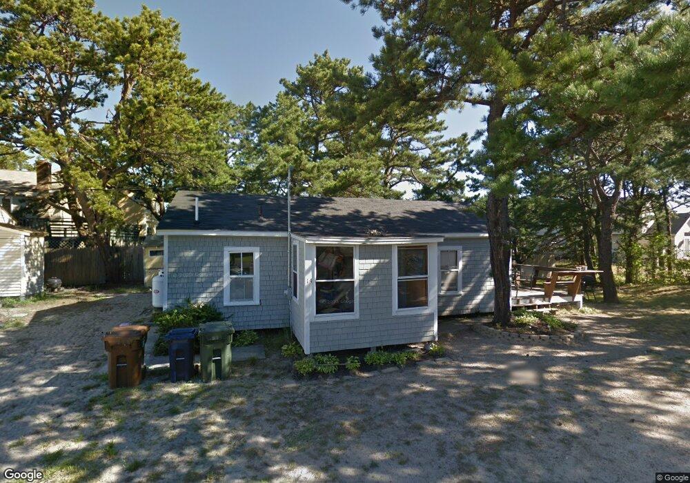
14 Curtis Ave Saco, ME 04072
Kinney Shores NeighborhoodEstimated Value: $1,234,000 - $1,771,000
4
Beds
3
Baths
2,668
Sq Ft
$556/Sq Ft
Est. Value
About This Home
This home is located at 14 Curtis Ave, Saco, ME 04072 and is currently estimated at $1,483,687, approximately $556 per square foot. 14 Curtis Ave is a home located in York County with nearby schools including C K Burns School, Saco Middle School, and Florence Lombard Christian School.
Ownership History
Date
Name
Owned For
Owner Type
Purchase Details
Closed on
Mar 3, 2014
Sold by
Davidson Rt and Davidson
Bought by
Walsh Michael and Walsh Kristen M
Current Estimated Value
Purchase Details
Closed on
Jul 20, 2006
Sold by
Walsh Michael
Bought by
Maloney Kristen E and Walsh Michael
Purchase Details
Closed on
Jan 11, 2005
Sold by
Walsh Edward W Est and Walsh
Bought by
Walsh Michael
Home Financials for this Owner
Home Financials are based on the most recent Mortgage that was taken out on this home.
Original Mortgage
$86,500
Interest Rate
8%
Mortgage Type
Adjustable Rate Mortgage/ARM
Create a Home Valuation Report for This Property
The Home Valuation Report is an in-depth analysis detailing your home's value as well as a comparison with similar homes in the area
Home Values in the Area
Average Home Value in this Area
Purchase History
| Date | Buyer | Sale Price | Title Company |
|---|---|---|---|
| Walsh Michael | -- | -- | |
| Maloney Kristen E | -- | -- | |
| Walsh Michael | -- | -- | |
| Walsh Michael | -- | -- | |
| Walsh Michael | -- | -- | |
| Maloney Kristen E | -- | -- | |
| Walsh Michael | -- | -- |
Source: Public Records
Mortgage History
| Date | Status | Borrower | Loan Amount |
|---|---|---|---|
| Previous Owner | Walsh Michael | $191,952 | |
| Previous Owner | Walsh Michael | $86,500 |
Source: Public Records
Tax History
| Year | Tax Paid | Tax Assessment Tax Assessment Total Assessment is a certain percentage of the fair market value that is determined by local assessors to be the total taxable value of land and additions on the property. | Land | Improvement |
|---|---|---|---|---|
| 2024 | $11,906 | $847,400 | $430,000 | $417,400 |
| 2023 | $12,499 | $847,400 | $430,000 | $417,400 |
| 2022 | $10,971 | $598,500 | $310,600 | $287,900 |
| 2021 | $10,713 | $567,400 | $293,900 | $273,500 |
| 2020 | $5,649 | $287,200 | $287,200 | $0 |
| 2019 | $6,304 | $325,300 | $287,200 | $38,100 |
| 2018 | $6,174 | $318,600 | $280,500 | $38,100 |
| 2017 | $5,680 | $293,100 | $255,000 | $38,100 |
| 2016 | $5,766 | $296,900 | $254,400 | $42,500 |
| 2015 | $5,064 | $263,500 | $221,000 | $42,500 |
| 2014 | $4,715 | $253,200 | $210,700 | $42,500 |
| 2013 | $4,682 | $252,000 | $209,500 | $42,500 |
Source: Public Records
Map
Nearby Homes
- 311 Seaside Ave Unit 5
- 30 Vines Rd
- 146 W Grand Ave Unit 52
- 3 Walker Dr Unit 101
- TBD 530 Ferry Rd
- 2 Union Ave
- 4 Union Ave
- 3 Walker Dr Unit 101
- 4 Walker Dr Unit 101
- 16 Union Ave
- 7 Bay Ave Unit 10
- 163 Temple Ave Unit 163
- 163 Temple Ave
- 295 Ferry Rd
- 7 Fern Ave
- 9 Fern Ave
- 42 3rd St
- 88 Union Ave Unit 301
- 107 Ocean Ave
- 105 Union Ave
Your Personal Tour Guide
Ask me questions while you tour the home.