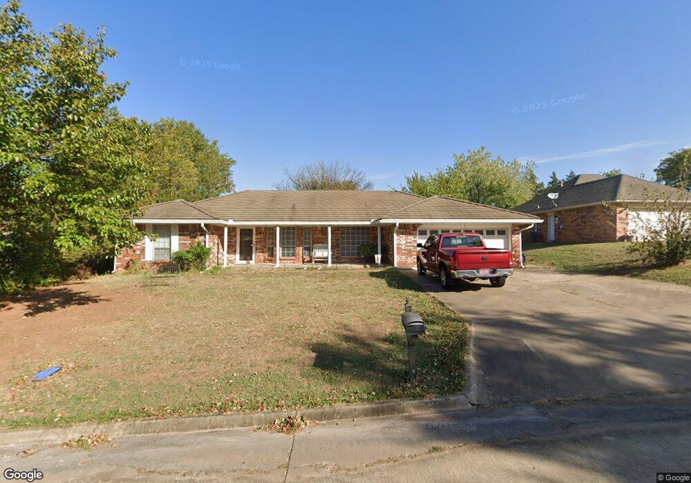
14 E Barnes St Shawnee, OK 74804
Estimated Value: $210,225 - $257,000
4
Beds
2
Baths
2,133
Sq Ft
$111/Sq Ft
Est. Value
About This Home
This home is located at 14 E Barnes St, Shawnee, OK 74804 and is currently estimated at $236,306, approximately $110 per square foot. 14 E Barnes St is a home located in Pottawatomie County with nearby schools including Family Of Faith Christian School.
Ownership History
Date
Name
Owned For
Owner Type
Purchase Details
Closed on
Mar 15, 2007
Sold by
Jackson Jenise L and Jackson Richard L
Bought by
Fitzsimmons Debra Sue
Current Estimated Value
Home Financials for this Owner
Home Financials are based on the most recent Mortgage that was taken out on this home.
Original Mortgage
$134,934
Outstanding Balance
$81,039
Interest Rate
6.3%
Mortgage Type
FHA
Estimated Equity
$155,267
Purchase Details
Closed on
Jan 31, 2006
Sold by
Williams Randall P and Revocable Inter Vivos Trust Of
Bought by
Jackson Jenise L
Create a Home Valuation Report for This Property
The Home Valuation Report is an in-depth analysis detailing your home's value as well as a comparison with similar homes in the area
Purchase History
| Date | Buyer | Sale Price | Title Company |
|---|---|---|---|
| Fitzsimmons Debra Sue | $136,000 | None Available | |
| Jackson Jenise L | -- | None Available |
Source: Public Records
Mortgage History
| Date | Status | Borrower | Loan Amount |
|---|---|---|---|
| Open | Fitzsimmons Debra Sue | $134,934 |
Source: Public Records
Tax History
| Year | Tax Paid | Tax Assessment Tax Assessment Total Assessment is a certain percentage of the fair market value that is determined by local assessors to be the total taxable value of land and additions on the property. | Land | Improvement |
|---|---|---|---|---|
| 2025 | $1,453 | $16,980 | $1,500 | $15,480 |
| 2024 | $1,453 | $16,486 | $1,500 | $14,986 |
| 2023 | $1,426 | $16,006 | $1,500 | $14,506 |
| 2022 | $1,399 | $16,006 | $1,500 | $14,506 |
| 2021 | $1,412 | $16,006 | $1,500 | $14,506 |
| 2020 | $1,453 | $16,470 | $1,500 | $14,970 |
| 2019 | $1,514 | $16,936 | $1,500 | $15,436 |
| 2018 | $1,529 | $17,009 | $1,500 | $15,509 |
| 2017 | $1,595 | $17,829 | $1,319 | $16,510 |
| 2016 | $1,562 | $17,308 | $1,247 | $16,061 |
| 2015 | $1,337 | $16,805 | $1,229 | $15,576 |
| 2014 | $1,295 | $16,316 | $1,176 | $15,140 |
Source: Public Records
Map
Nearby Homes
- 14 Janeway Place
- 23 Crown Point
- 2024 Lantana Cir
- 40 Northridge Rd
- 2 Lancet Cir
- 5 Norwich Ct
- 17 Beckley St
- 2 Turkey Knob St
- 31 E Oak Hill
- 1406 E Bradley St
- 5005 Chauncey Ln
- 9 Castle Creek Place
- 1305 Castle Creek St
- 2704 Woodlawn Ct
- 1107 Quail Hollow Rd
- 1119 Quail Hollow Rd
- 3904 Northridge Rd
- 3906 Northridge Rd
- 1225 E Carol Dr
- 1207 E Carol Dr
- 16 E Barnes St
- 12 E Barnes St
- 13 Janeway Place
- 11 Janeway Place
- 15 Janeway Place
- 10 E Barnes St
- 9 Janeway Place
- 20 Crown Point
- 10 Chevy Chase
- 25 Crown Point
- 17 Janeway Place
- 7 Janeway Place
- 8 E Barnes St
- 18 Crown Point
- 8 Chevy Chase
- 69 Crown Point
- 21 Crown Point
- 67 Crown Point
- 65 Crown Point
- 12 Janeway Place
Your Personal Tour Guide
Ask me questions while you tour the home.