14 Eagle Nest Ln Roberts, MT 59070
Roberts NeighborhoodEstimated Value: $622,000 - $716,000
About This Home
This home is located at 14 Eagle Nest Ln, Roberts, MT 59070 and is currently estimated at $659,888, approximately $588 per square foot. 14 Eagle Nest Ln is a home with nearby schools including Roberts School.
Ownership History
We collect this data history from publicly available records. To have your information removed, we recommend requesting removal directly through your county’s website.
Purchase Details
Home Financials for this Owner
Home Financials are based on the most recent Mortgage that was taken out on this home.Home Values in the Area
Average Home Value in this Area
Purchase History
We collect this data history from publicly available records. To have your information removed, we recommend requesting removal directly through your county’s website.
| Date | Buyer | Sale Price | Title Company |
|---|---|---|---|
| -- | -- |
Mortgage History
We collect this data history from publicly available records. To have your information removed, we recommend requesting removal directly through your county’s website.
| Date | Status | Borrower | Loan Amount |
|---|---|---|---|
| Open | $167,189 |
Tax History
We collect this data history from publicly available records. To have your information removed, we recommend requesting removal directly through your county’s website.
| Year | Tax Paid | Tax Assessment Tax Assessment Total Assessment is a certain percentage of the fair market value that is determined by local assessors to be the total taxable value of land and additions on the property. | Land | Improvement |
|---|---|---|---|---|
| 2025 | $2,165 | $588,400 | $0 | $0 |
| 2024 | $2,639 | $481,500 | $0 | $0 |
| 2023 | $2,645 | $481,500 | $0 | $0 |
| 2022 | $2,121 | $337,300 | $0 | $0 |
| 2021 | $2,308 | $337,300 | $0 | $0 |
| 2020 | $2,096 | $295,300 | $0 | $0 |
| 2019 | $2,169 | $295,300 | $0 | $0 |
| 2018 | $1,964 | $261,300 | $0 | $0 |
| 2017 | $1,925 | $261,300 | $0 | $0 |
| 2016 | $1,650 | $213,800 | $0 | $0 |
| 2015 | $1,435 | $213,800 | $0 | $0 |
| 2014 | $1,442 | $119,727 | $0 | $0 |
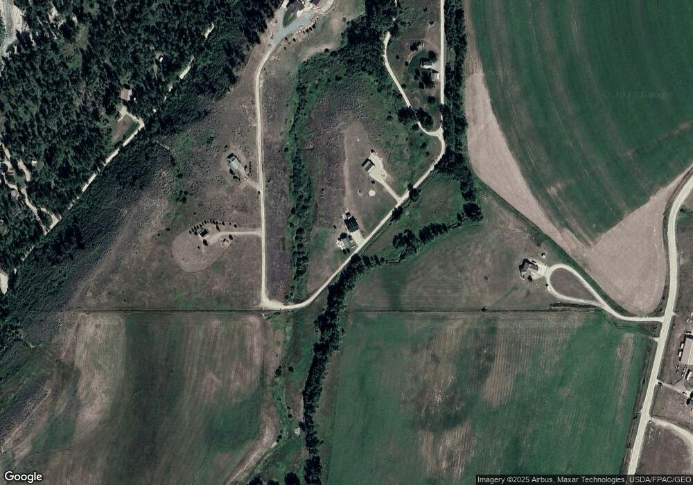
Map
- 50 Big Sky Ln
- 45 Buttercup Dr
- 48 Buttercup Dr
- 80 Acres Clear Creek & Stark
- 29 Rosebud View
- 7 Meadowlark Cir
- 101 S 2nd St
- 123 Maki Johnson Rd
- 14 Tieni Rd
- 7734 U S 212
- 58 Cooney Rd
- 120 Cooney Rd
- nsn Laptop Loop
- 782 Clear Creek Rd
- 7 Internet Access
- 17 Horseshoe Trail
- TBD-Lot 5 Horseshoe Trail
- TBD-Lot 10 Horseshoe Trail
- 25 Horseshoe Trail
- 52 Horseshoe Trail
- 4 Eagle Nest Ln
- 31 Eagle Nest Ln
- 23 Eagle Nest Ln
- 349 Clear Creek Rd
- 41 Eagle Nest Ln
- 47 Moose Tracks Dr
- 39 Moose Tracks Dr
- 150 Porcupine Ridge Rd
- 329 Clear Creek Rd
- 31 Moose Tracks Dr
- 148 Porcupine Ridge Rd
- 350 Clear Creek Rd
- 146 Porcupine Ridge Rd
- 142 Porcupine Ridge Rd
- 8008 Us Highway 212
- 8008 Us Highway 212
- 342 Clear Creek Rd
- 138 Porcupine Ridge Rd
- 8008 U S 212
- 741 Clear Creek Rd
Ask me questions while you tour the home.