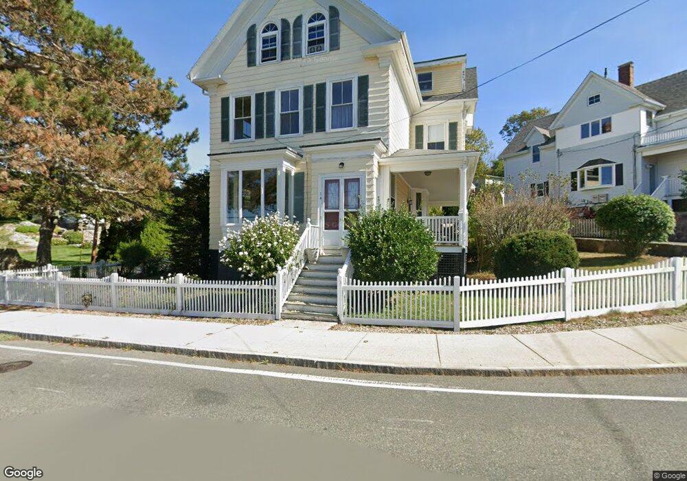
14 Eastern Point Rd Gloucester, MA 01930
East Gloucester NeighborhoodEstimated Value: $728,000 - $1,096,563
5
Beds
3
Baths
3,000
Sq Ft
$307/Sq Ft
Est. Value
About This Home
This home is located at 14 Eastern Point Rd, Gloucester, MA 01930 and is currently estimated at $920,641, approximately $306 per square foot. 14 Eastern Point Rd is a home located in Essex County with nearby schools including East Gloucester Elementary School, Ralph B O'maley Middle School, and Gloucester High School.
Ownership History
Date
Name
Owned For
Owner Type
Purchase Details
Closed on
Apr 28, 2021
Sold by
Ganim Jacqueline M
Bought by
M C & J G Defalco Ret
Current Estimated Value
Purchase Details
Closed on
Oct 6, 1994
Sold by
Lucas Frances
Bought by
Ganim Jacqueline M
Home Financials for this Owner
Home Financials are based on the most recent Mortgage that was taken out on this home.
Original Mortgage
$160,000
Interest Rate
8.55%
Mortgage Type
Purchase Money Mortgage
Create a Home Valuation Report for This Property
The Home Valuation Report is an in-depth analysis detailing your home's value as well as a comparison with similar homes in the area
Home Values in the Area
Average Home Value in this Area
Purchase History
| Date | Buyer | Sale Price | Title Company |
|---|---|---|---|
| M C & J G Defalco Ret | -- | None Available | |
| Ganim Jacqueline M | $240,000 | -- |
Source: Public Records
Mortgage History
| Date | Status | Borrower | Loan Amount |
|---|---|---|---|
| Previous Owner | Ganim Jacqueline M | $91,000 | |
| Previous Owner | Ganim Jacqueline M | $160,000 |
Source: Public Records
Tax History
| Year | Tax Paid | Tax Assessment Tax Assessment Total Assessment is a certain percentage of the fair market value that is determined by local assessors to be the total taxable value of land and additions on the property. | Land | Improvement |
|---|---|---|---|---|
| 2025 | $8,639 | $888,800 | $404,600 | $484,200 |
| 2024 | $8,417 | $865,100 | $385,300 | $479,800 |
| 2023 | $8,560 | $808,300 | $344,000 | $464,300 |
| 2022 | $8,097 | $690,300 | $299,300 | $391,000 |
| 2021 | $7,835 | $629,800 | $272,000 | $357,800 |
| 2020 | $7,328 | $594,300 | $256,500 | $337,800 |
| 2019 | $7,006 | $552,100 | $256,500 | $295,600 |
| 2018 | $6,708 | $518,800 | $256,500 | $262,300 |
| 2017 | $6,449 | $488,900 | $244,300 | $244,600 |
| 2016 | $6,184 | $454,400 | $231,700 | $222,700 |
| 2015 | $6,220 | $455,700 | $239,700 | $216,000 |
Source: Public Records
Map
Nearby Homes
- 15 Raven Ln Unit 15
- 1 Wonson St
- 73 Rocky Neck Ave Unit 2
- 60 Rocky Neck Ave Unit 202
- 197 E Main St Unit 1
- 10 Seaview Rd
- 11 Ocean View Dr
- 191 Main St Unit 3
- 191 Main St Unit 2A
- 33 Middle St
- 35 Middle St Unit 4
- 139A Prospect St
- 15 Mount Vernon St
- 3 Mondello Square
- 100 Eastern Point Blvd
- 20 Beacon St
- 20 Beacon St Unit 2
- 20 Beacon St Unit 1
- 113 Pleasant St
- 33 Maplewood Ave Unit 310
- 14 Eastern Point Rd Unit 3rd Floor
- 16 Eastern Point Rd
- 7 Ledge Ln
- 21 Eastern Point Rd
- 29 Eastern Point Rd
- 8 Eastern Point Rd
- 20 Eastern Point Rd
- 1 Windward Point
- 10 Ledge Ln
- 12 Ledge Ln
- 22 Eastern Point Rd
- 31 Eastern Point Rd
- 6 Eastern Point Rd
- 3 Windward Point
- 5 Eastern Point Rd
- 2 Windward Point
- 4 Eastern Point Rd
- 6 Rocky Neck Ave
- 1 Eastern Point Rd Unit 4
- 1 Eastern Point Rd Unit 2
Your Personal Tour Guide
Ask me questions while you tour the home.