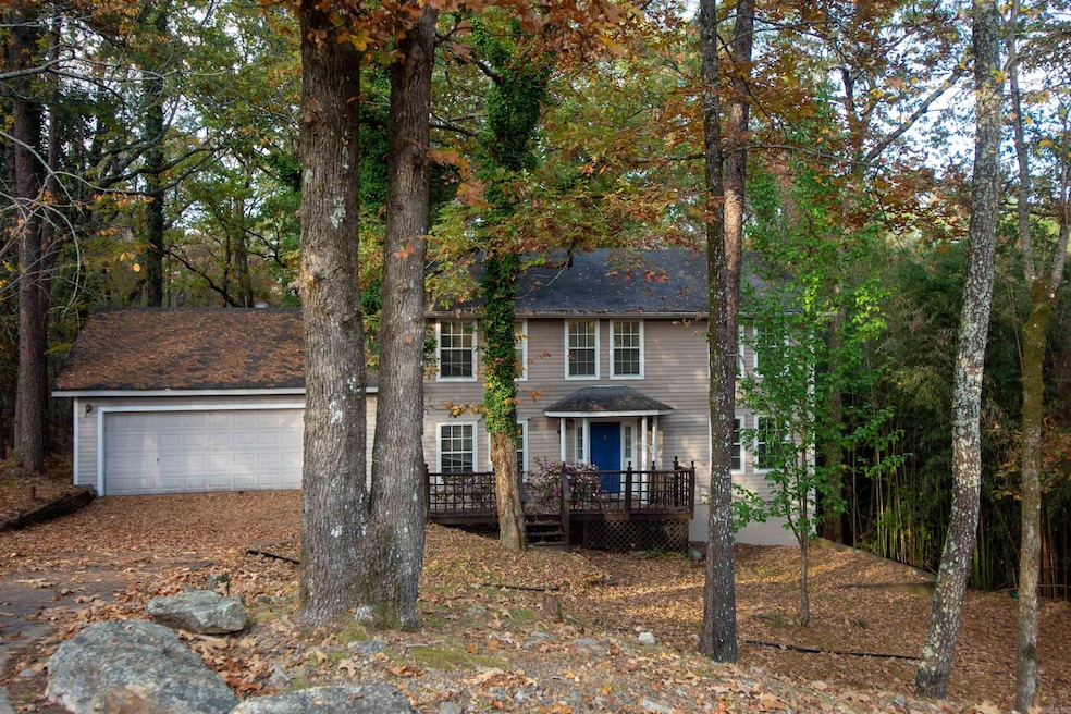
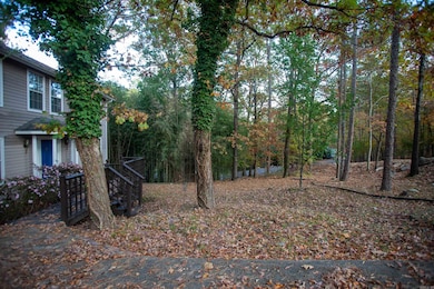
14 Echo Point Little Rock, AR 72210
Western Little Rock NeighborhoodHighlights
- Double Oven
- Fireplace
- Central Heating and Cooling System
- Baker Interdistrict Elementary School Rated A-
- Laundry Room
About This Home
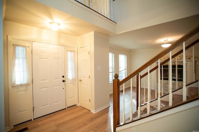
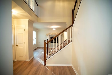
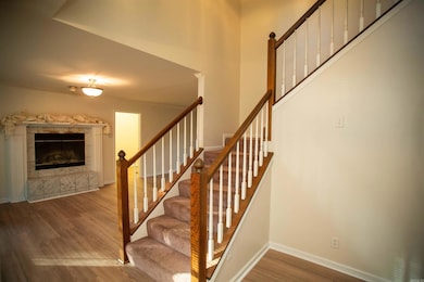
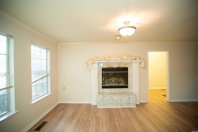
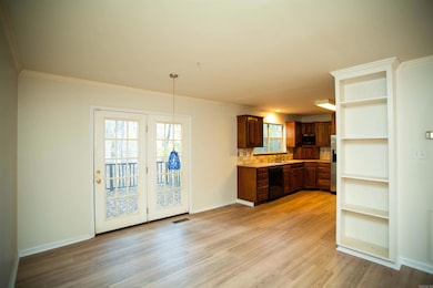
MOVE IN SPECIAL! HALF OFF FIRST MONTH’S RENT! Tucked away off Cooper Orbit in Little Rock is this beautiful 4BD/2.5BA that is waiting for you to call home. Cozy living room with decorative fireplace that leads to eat-in-kitchen equipped with all appliances. Formal dining room perfect for entertaining guests. Bonus living room. Ceiling fans in bedrooms. Master bed has walk-in closet. Spacious laundry room with extra storage options. Back deck ideal for enjoying beautiful Arkansas days. Close to Spring Valley Lake and multiple parks! This property is managed by Hoffman Team so beware of scammers - we will never ask you to Cashapp us money. The lease for this property is for 18 months to 2 years with a 3% increase after the first year. Income must be 3x the amount of rent. Deposit, first month’s rent, and the $50 administration fee due before move in. This property does not accept section 8.
Home Details
Home Type
- Single Family
Year Built
- Built in 1992
Parking
- 2 Car Garage
Home Design
- House
Interior Spaces
- 1,976 Sq Ft Home
- Fireplace
Kitchen
- Double Oven
- Cooktop
- Microwave
- Dishwasher
- Disposal
Bedrooms and Bathrooms
- 4 Bedrooms
Laundry
- Laundry Room
- Washer and Dryer Hookup
Utilities
- Central Heating and Cooling System
Community Details
- Pets Allowed
- Pet Deposit $350
Listing and Financial Details
- Security Deposit $2,195
Map
Property History
| Date | Event | Price | List to Sale | Price per Sq Ft |
|---|---|---|---|---|
| 12/30/2025 12/30/25 | Price Changed | $2,195 | -0.2% | $1 / Sq Ft |
| 11/20/2025 11/20/25 | For Rent | $2,200 | -- | -- |
Source: Cooperative Arkansas REALTORS® MLS
MLS Number: 25046444
APN: 44L-076-03-047-00
- 15 Weatherstone Point
- 6 Weatherstone Point
- 106 Weatherstone Cove
- 8 Ledge Rock Cove
- 5 Secluded Point
- 8 Pennsylvania Ct
- 2711 Preserve Pass
- 144 Cove Creek Ct
- 11 Highfield Cove
- 13717 Foxfield Ln
- 708 Edgewood Cir
- 722 Edgewood Cir
- 724 Edgewood Cir
- 122 Cove Creek Ct
- 24 Driftwood Ln
- 26 Driftwood Ln
- 28 Driftwood Ln
- 201 Edgewood Cir
- 203 Edgewood Cir
- 205 Edgewood Cir
- 16000 Rushmore Ave
- 15501 Capital Hill Blvd
- 1000 Kirby Rd
- 14707 Kanis Rd
- 13410 Teton Dr
- 12711 Misty Creek Dr
- 1801 Mesquite Cir
- 12 Cedar Point Ct
- 15401 Chenal Pkwy
- 2411 Stoney Creek Dr
- 35 Point West Cir
- 13111 W Markham St
- 15000 Chenal Pkwy
- 220 Gamble Rd
- 3400 S Bowman Rd
- 13200 Chenal Pkwy
- 13500 Chenal Pkwy
- 701 Wellington Hills Rd
- 12600 Timber Hill Dr
- 3321 S Bowman Rd
