14 Fells Ln Orleans, MA 2653
Estimated Value: $2,101,000 - $3,638,000
4
Beds
3
Baths
2,900
Sq Ft
$959/Sq Ft
Est. Value
About This Home
This home is located at 14 Fells Ln, Orleans, MA 2653 and is currently estimated at $2,781,675, approximately $959 per square foot. 14 Fells Ln is a home located in Barnstable County with nearby schools including Orleans Elementary School, Nauset Regional Middle School, and Nauset Regional High School.
Ownership History
Date
Name
Owned For
Owner Type
Purchase Details
Closed on
Jan 10, 1996
Sold by
Vanesselstyn Rt and Vanesselstyn Mary Jane
Bought by
Talmadge Jeffrey H and Talmadge Joan Reese
Current Estimated Value
Home Financials for this Owner
Home Financials are based on the most recent Mortgage that was taken out on this home.
Original Mortgage
$203,100
Interest Rate
7.31%
Mortgage Type
Purchase Money Mortgage
Create a Home Valuation Report for This Property
The Home Valuation Report is an in-depth analysis detailing your home's value as well as a comparison with similar homes in the area
Home Values in the Area
Average Home Value in this Area
Purchase History
| Date | Buyer | Sale Price | Title Company |
|---|---|---|---|
| Talmadge Jeffrey H | $450,000 | -- |
Source: Public Records
Mortgage History
| Date | Status | Borrower | Loan Amount |
|---|---|---|---|
| Open | Talmadge Jeffrey H | $409,000 | |
| Closed | Talmadge Jeffrey H | $203,100 |
Source: Public Records
Tax History Compared to Growth
Tax History
| Year | Tax Paid | Tax Assessment Tax Assessment Total Assessment is a certain percentage of the fair market value that is determined by local assessors to be the total taxable value of land and additions on the property. | Land | Improvement |
|---|---|---|---|---|
| 2025 | $17,273 | $2,768,100 | $1,670,500 | $1,097,600 |
| 2024 | $16,501 | $2,574,300 | $1,637,600 | $936,700 |
| 2023 | $15,024 | $2,411,600 | $1,516,500 | $895,100 |
| 2022 | $14,532 | $2,018,400 | $1,378,600 | $639,800 |
| 2021 | $15,284 | $1,949,500 | $1,415,400 | $534,100 |
| 2020 | $14,167 | $1,874,000 | $1,415,400 | $458,600 |
| 2019 | $13,512 | $1,825,900 | $1,376,300 | $449,600 |
| 2018 | $12,389 | $1,868,700 | $1,435,700 | $433,000 |
| 2017 | $11,935 | $1,885,400 | $1,472,500 | $412,900 |
| 2016 | $12,049 | $1,865,100 | $1,460,400 | $404,700 |
| 2015 | $11,716 | $1,824,900 | $1,431,500 | $393,400 |
Source: Public Records
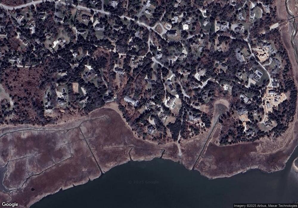
Map
Nearby Homes
- 24 Sparrowhawk Rd
- 131 Pochet Rd
- 15 Dale Ann Dr
- 11 Fox Ridge Dr
- 36 Cedar Land Rd
- 12 Windswept Ln
- 25 Pleasant View Dr
- 34 Cedar Land Rd
- 11 Cedar Land Rd
- 110 Beach Rd
- 17 Pendleton Dr
- 63 Field Rd
- 19 Nauset Farms Private Way
- 63 Old Field Rd
- 2 Little Cove Ln
- 18 Cole Place
- 53 Great Oak Rd
- 216 Main St
- 5 Kidd Way
- 64 Pershing Ln
- 47 Sparrowhawk Rd
- 20 Fells Ln
- 13 Fells Ln
- 49 Sparrowhawk Rd
- 9 Fells Ln
- 3 Fells Ln
- 14 E Fells
- 29 Sparrowhawk Rd
- 43 Sparrowhawk Rd
- 39 Sparrowhawk Rd
- 66 Sparrowhawk Rd
- 70 Sparrowhawk Rd
- 76 Gosnold Rd
- 56 Sparrowhawk Rd
- 75 Gosnold Rd
- 1 Woods Neck Rd
- 1 Wood Neck Rd
- 73 Gosnold Rd
- 167 Pochet Rd
- 35 Sparrowhawk Rd