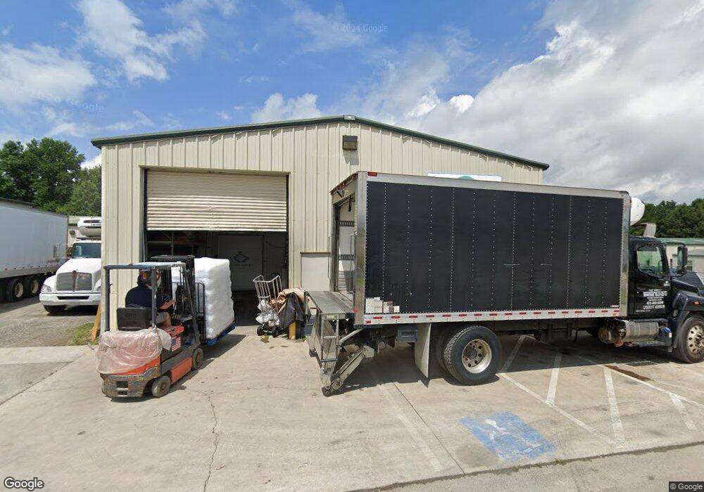
14 Gateway Dr Jasper, GA 30143
Estimated Value: $567,941
Studio
--
Bath
2,400
Sq Ft
$237/Sq Ft
Est. Value
About This Home
This home is located at 14 Gateway Dr, Jasper, GA 30143 and is currently priced at $567,941, approximately $236 per square foot. 14 Gateway Dr is a home located in Pickens County with nearby schools including Harmony Elementary School, Pickens County Middle School, and Pickens County High School.
Ownership History
Date
Name
Owned For
Owner Type
Purchase Details
Closed on
Nov 14, 2023
Sold by
14 Gateway Drive Llc
Bought by
2Paw Properties Llc
Current Estimated Value
Purchase Details
Closed on
Dec 30, 2015
Sold by
Manitoulin Llc
Bought by
14 Gateway Drive Llc
Home Financials for this Owner
Home Financials are based on the most recent Mortgage that was taken out on this home.
Original Mortgage
$222,700
Interest Rate
3.96%
Mortgage Type
Commercial
Purchase Details
Closed on
Dec 1, 2011
Purchase Details
Closed on
Sep 17, 2010
Sold by
Federal Deposit Insurance Corporation
Bought by
Community
Purchase Details
Closed on
May 19, 2004
Sold by
Jettason Properties Llc
Bought by
Montrose Jerry A
Purchase Details
Closed on
May 31, 2002
Sold by
Crystal River Ltd
Bought by
Jettason Properties Llc
Create a Home Valuation Report for This Property
The Home Valuation Report is an in-depth analysis detailing your home's value as well as a comparison with similar homes in the area
Home Values in the Area
Average Home Value in this Area
Purchase History
| Date | Buyer | Sale Price | Title Company |
|---|---|---|---|
| 2Paw Properties Llc | $480,000 | -- | |
| 14 Gateway Drive Llc | $262,000 | -- | |
| -- | $195,000 | -- | |
| Community | -- | -- | |
| Montrose Jerry A | $100,000 | -- | |
| Jettason Properties Llc | $455,000 | -- |
Source: Public Records
Mortgage History
| Date | Status | Borrower | Loan Amount |
|---|---|---|---|
| Previous Owner | 14 Gateway Drive Llc | $222,700 |
Source: Public Records
Tax History
| Year | Tax Paid | Tax Assessment Tax Assessment Total Assessment is a certain percentage of the fair market value that is determined by local assessors to be the total taxable value of land and additions on the property. | Land | Improvement |
|---|---|---|---|---|
| 2025 | $2,536 | $102,135 | $24,000 | $78,135 |
| 2024 | $2,443 | $96,608 | $24,000 | $72,608 |
| 2023 | $1,749 | $67,293 | $16,000 | $51,293 |
| 2022 | $1,046 | $51,416 | $16,000 | $35,416 |
| 2021 | $1,120 | $51,416 | $16,000 | $35,416 |
| 2020 | $1,154 | $51,416 | $16,000 | $35,416 |
| 2019 | $1,180 | $51,416 | $16,000 | $35,416 |
| 2018 | $1,192 | $51,416 | $16,000 | $35,416 |
| 2017 | $1,211 | $51,416 | $16,000 | $35,416 |
Source: Public Records
Map
Nearby Homes
- 647 Philadelphia Dr
- 531 Philadelphia Dr
- 2 Salem Church Rd
- 4 Salem Church Rd
- 186 Franklin Ct
- 12 Sammy McGhee Blvd Unit 203
- 2574 Highway 53 W
- 2860 Camp Rd
- 7 Noah Dr
- 2038 Upper Salem Church Rd
- 174 Golden Springs Dr
- 80 Mountain Mint Dr
- 5566 Red Fox Ln
- 0 Hunters Ridge Rd Unit 7714906
- 2668 Highland Trail
- 5574 Red Fox Ln
- 0 Hunters Ridge Rd Unit 10685847
- 280 Vistaview Pkwy
- 0 Mulberry Cir Unit 409241
- 0 Hunters Ridge Rd Unit 10685863
- 26 Gateway Dr
- 40 Gateway Dr Unit 4199427
- 40 Gateway Dr
- 185 Boundary Tree Way W
- 41 Boundary Tree Way W
- 61 Boundary Tree Way W
- 114 Airport Business Ct
- 422 Upper Salem Church Rd
- 00 Airport Industrial Ct
- 406 Upper Salem Church Rd
- 186 Upper Salem Church R
- 186 Upper Salem Church Rd
- 403 Burgess Hill Dr
- 86 Boundary Tree Way W
- 435 Upper Salem Church Rd
- 50 Burgess Hill Dr
- 3739 Camp Rd
- 547 Upper Salem Church Rd
- 00 Upper Salem Church Rd
- 0 Upper Salem Church Rd
Your Personal Tour Guide
Ask me questions while you tour the home.