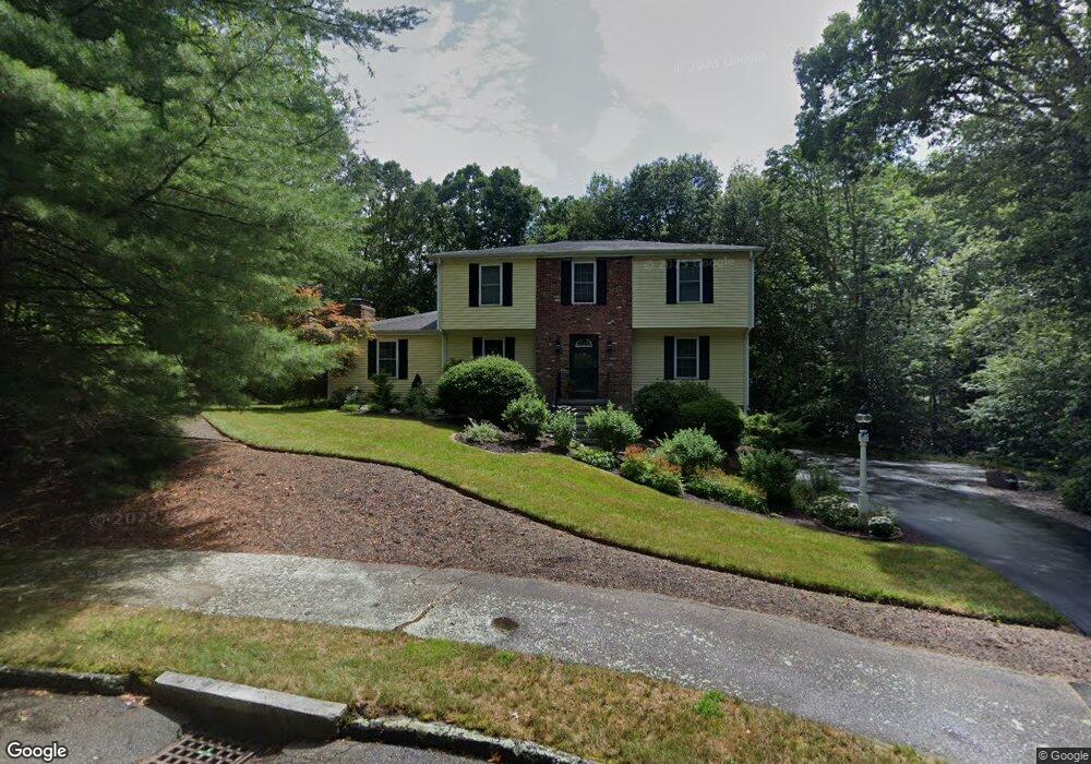
14 Hawk Ln Sharon, MA 02067
Estimated Value: $982,808 - $1,237,000
4
Beds
3
Baths
2,784
Sq Ft
$386/Sq Ft
Est. Value
About This Home
This home is located at 14 Hawk Ln, Sharon, MA 02067 and is currently estimated at $1,075,952, approximately $386 per square foot. 14 Hawk Ln is a home located in Norfolk County with nearby schools including Heights Elementary School, Sharon Middle School, and Sharon High School.
Ownership History
Date
Name
Owned For
Owner Type
Purchase Details
Closed on
Jun 29, 2001
Sold by
Nathan Stephen C and Nathan Carole R
Bought by
Berkenblit Howard E
Current Estimated Value
Home Financials for this Owner
Home Financials are based on the most recent Mortgage that was taken out on this home.
Original Mortgage
$275,000
Interest Rate
7.14%
Mortgage Type
Purchase Money Mortgage
Create a Home Valuation Report for This Property
The Home Valuation Report is an in-depth analysis detailing your home's value as well as a comparison with similar homes in the area
Home Values in the Area
Average Home Value in this Area
Purchase History
| Date | Buyer | Sale Price | Title Company |
|---|---|---|---|
| Berkenblit Howard E | $517,500 | -- |
Source: Public Records
Mortgage History
| Date | Status | Borrower | Loan Amount |
|---|---|---|---|
| Open | Berkenblit Howard E | $368,000 | |
| Closed | Berkenblit Howard E | $275,000 |
Source: Public Records
Tax History
| Year | Tax Paid | Tax Assessment Tax Assessment Total Assessment is a certain percentage of the fair market value that is determined by local assessors to be the total taxable value of land and additions on the property. | Land | Improvement |
|---|---|---|---|---|
| 2025 | $14,984 | $857,200 | $444,600 | $412,600 |
| 2024 | $14,366 | $817,200 | $408,000 | $409,200 |
| 2023 | $13,721 | $738,100 | $381,400 | $356,700 |
| 2022 | $13,003 | $658,400 | $317,800 | $340,600 |
| 2021 | $12,883 | $630,600 | $299,700 | $330,900 |
| 2020 | $12,240 | $644,200 | $313,300 | $330,900 |
| 2019 | $11,947 | $615,500 | $265,200 | $350,300 |
| 2018 | $11,364 | $586,700 | $236,400 | $350,300 |
| 2017 | $11,211 | $571,400 | $221,100 | $350,300 |
| 2016 | $10,873 | $540,700 | $221,100 | $319,600 |
| 2015 | $10,692 | $526,700 | $221,000 | $305,700 |
| 2014 | $9,907 | $482,100 | $200,900 | $281,200 |
Source: Public Records
Map
Nearby Homes
- 3 Wampanoag Rd
- 132 Massapoag Ave
- 2 Sherwood Cir
- 27 Sandy Ridge Cir
- 668 S Main St
- 350 Mountain St
- 15 Paul Revere Rd
- 132 Cannon Forge Dr
- 5 Trowel Pond Shop Rd Unit C
- 58 Ames St
- 133 Ames St
- 1 Maura Elizabeth Ln
- 9 Independence Dr Unit 9
- 180 Old Post Rd Unit 202
- 180 Old Post Rd Unit 206
- 180 Old Post Rd Unit 308
- 180 Old Post Rd Unit 201
- 180 Old Post Rd Unit 405
- 180 Old Post Rd Unit 207
- 32 Billings St Unit A
Your Personal Tour Guide
Ask me questions while you tour the home.