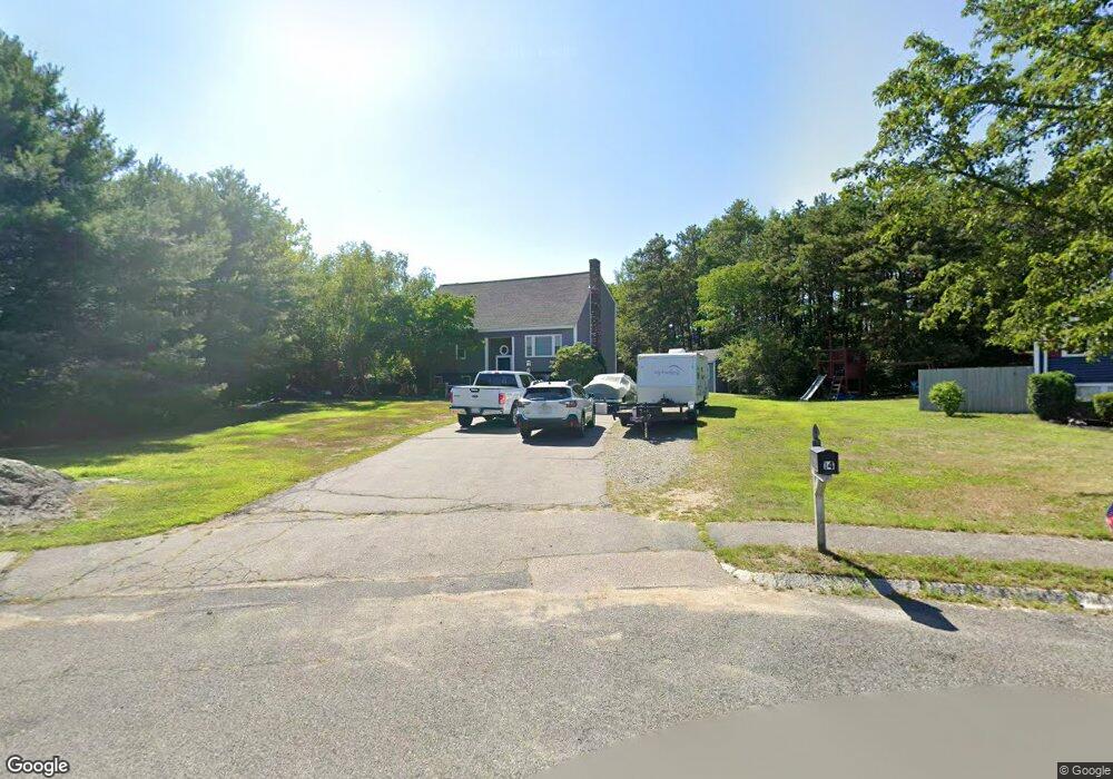
14 Hidden Ln Mansfield, MA 02048
Estimated Value: $584,000 - $725,000
4
Beds
2
Baths
1,937
Sq Ft
$345/Sq Ft
Est. Value
About This Home
This home is located at 14 Hidden Ln, Mansfield, MA 02048 and is currently estimated at $668,059, approximately $344 per square foot. 14 Hidden Ln is a home located in Bristol County with nearby schools including Everett W. Robinson Elementary School, Jordan/Jackson Elementary School, and Harold L. Qualters Middle School.
Ownership History
Date
Name
Owned For
Owner Type
Purchase Details
Closed on
Feb 7, 1996
Sold by
Winslow Everett S and Winslow Nancy S
Bought by
Fleet National Bk
Current Estimated Value
Purchase Details
Closed on
Oct 5, 1990
Sold by
Fleet Natl Bk
Bought by
Sinclaire Dennis R
Purchase Details
Closed on
Jul 18, 1990
Sold by
Canaday William H
Bought by
Fleet Natl Bk
Create a Home Valuation Report for This Property
The Home Valuation Report is an in-depth analysis detailing your home's value as well as a comparison with similar homes in the area
Home Values in the Area
Average Home Value in this Area
Purchase History
| Date | Buyer | Sale Price | Title Company |
|---|---|---|---|
| Fleet National Bk | $4,500 | -- | |
| Sinclaire Dennis R | $134,900 | -- | |
| Fleet Natl Bk | $122,500 | -- |
Source: Public Records
Mortgage History
| Date | Status | Borrower | Loan Amount |
|---|---|---|---|
| Open | Fleet Natl Bk | $225,200 | |
| Closed | Fleet Natl Bk | $200,000 |
Source: Public Records
Tax History Compared to Growth
Tax History
| Year | Tax Paid | Tax Assessment Tax Assessment Total Assessment is a certain percentage of the fair market value that is determined by local assessors to be the total taxable value of land and additions on the property. | Land | Improvement |
|---|---|---|---|---|
| 2025 | $6,640 | $504,200 | $239,700 | $264,500 |
| 2024 | $6,638 | $491,700 | $228,800 | $262,900 |
| 2023 | $6,011 | $426,600 | $228,800 | $197,800 |
| 2022 | $5,810 | $383,000 | $211,700 | $171,300 |
| 2021 | $6,866 | $447,000 | $201,800 | $245,200 |
| 2020 | $6,142 | $399,900 | $176,500 | $223,400 |
| 2019 | $6,024 | $395,800 | $168,000 | $227,800 |
| 2018 | $6,041 | $388,000 | $160,200 | $227,800 |
| 2017 | $5,955 | $396,500 | $155,700 | $240,800 |
| 2016 | $5,726 | $371,600 | $148,200 | $223,400 |
| 2015 | $5,084 | $328,000 | $148,200 | $179,800 |
Source: Public Records
Map
Nearby Homes
- 24 Maverick Dr
- 116 George St
- 11 Landry Ave
- 196 Donald Tennant Cir
- 5 Old Wood Rd
- 150 Gilbert St
- 28 Messenger St
- 57 Vine St
- 16 Treasure Island Rd
- 115 Westfield Dr
- 4 Buckskin Dr
- 255 Mckeon Dr
- Lot 5 Jeffrey Dr
- 9 Sunnyside Dr Unit 9
- Lot 2 Jeffrey Dr
- 9 Oak Dr
- 11 Buckthorn Ln
- 406 South St
- 12 Houde St
- 126 Washington St