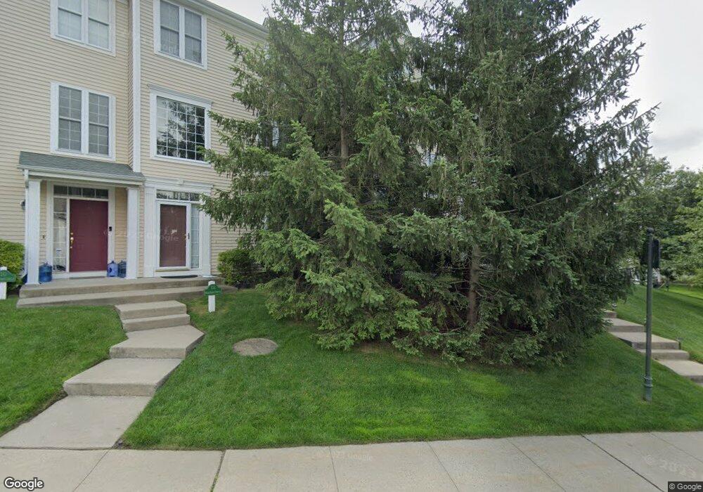
14 High Point Cir Port Chester, NY 10573
Purchase NeighborhoodEstimated Value: $403,000 - $943,000
3
Beds
3
Baths
1,606
Sq Ft
$378/Sq Ft
Est. Value
About This Home
This home is located at 14 High Point Cir, Port Chester, NY 10573 and is currently estimated at $607,612, approximately $378 per square foot. 14 High Point Cir is a home located in Westchester County with nearby schools including Bruno M. Ponterio Ridge Street School, Blind Brook Rye Middle School, and Blind Brook High School.
Ownership History
Date
Name
Owned For
Owner Type
Purchase Details
Closed on
Oct 25, 2004
Sold by
Losito Connie
Bought by
Losito Connie and Losito Stacey
Current Estimated Value
Purchase Details
Closed on
Oct 4, 2000
Sold by
The Bellefair Home & Land Company
Bought by
Berkowitz Eric and Berkowitz Jill S
Create a Home Valuation Report for This Property
The Home Valuation Report is an in-depth analysis detailing your home's value as well as a comparison with similar homes in the area
Home Values in the Area
Average Home Value in this Area
Purchase History
| Date | Buyer | Sale Price | Title Company |
|---|---|---|---|
| Losito Connie | -- | -- | |
| Berkowitz Eric | $552,030 | -- |
Source: Public Records
Tax History Compared to Growth
Tax History
| Year | Tax Paid | Tax Assessment Tax Assessment Total Assessment is a certain percentage of the fair market value that is determined by local assessors to be the total taxable value of land and additions on the property. | Land | Improvement |
|---|---|---|---|---|
| 2024 | $9,523 | $351,000 | $102,800 | $248,200 |
| 2023 | $8,472 | $331,000 | $97,900 | $233,100 |
| 2022 | $8,805 | $305,000 | $97,900 | $207,100 |
| 2021 | $8,335 | $301,000 | $97,900 | $203,100 |
| 2020 | $7,163 | $288,000 | $97,900 | $190,100 |
| 2019 | $13,274 | $280,000 | $89,400 | $190,600 |
| 2018 | $4,811 | $266,000 | $87,600 | $178,400 |
| 2017 | $1,071 | $258,000 | $86,600 | $171,400 |
| 2016 | $9,479 | $253,000 | $110,000 | $143,000 |
| 2015 | -- | $248,000 | $88,000 | $160,000 |
| 2014 | -- | $249,000 | $74,800 | $174,200 |
| 2013 | -- | $257,800 | $72,800 | $185,000 |
Source: Public Records
Map
Nearby Homes
- 26 Reunion Rd
- 21 Honeysuckle Ln
- 27 Lavender Ln
- 1 Element Ln
- 1 Primrose Ln
- 8 Chieftans Rd
- 15 Arrowwood Cir Unit 136
- 27 Doral Greens Dr E
- 125 Bowman Dr
- 21 Dorann Rd
- 5 Bristol Ln
- 6 Katsura Dr
- 28 Thunder Mountain Rd
- 9 Lincoln Woods
- 53 Country Ridge Dr
- 3747 Purchase St
- 1 Cedar Ln
- 122 Lincoln Ave
- 267 Riversville Rd
- 29 Beverly Rd
- 12 High Point Cir
- 10 High Point Cir
- 16 High Point Cir
- 8 High Point Cir
- 2 Parade Ln
- 4 Parade Ln
- 6 Parade Ln
- 8 Parade Ln
- 4 High Point Cir
- 6 High Point Cir
- 2 High Point Cir
- 11 High Point Cir
- 9 High Point Cir
- 15 High Point Cir
- 7 High Point Cir
- 3 Parade Ln
- 5 Parade Ln
- 1 Parade Ln
- 17 High Point Cir
- 7 Parade Ln