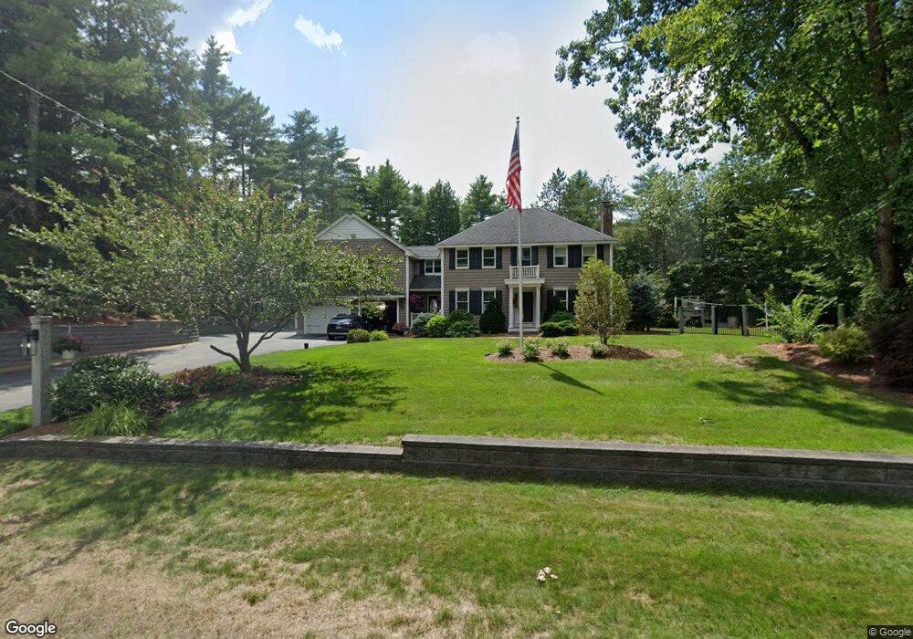
14 Homestead Dr Raymond, NH 03077
Estimated Value: $678,957 - $756,000
3
Beds
4
Baths
2,950
Sq Ft
$243/Sq Ft
Est. Value
About This Home
This home is located at 14 Homestead Dr, Raymond, NH 03077 and is currently estimated at $717,489, approximately $243 per square foot. 14 Homestead Dr is a home located in Rockingham County with nearby schools including Lamprey River Elementary School, Iber Holmes Gove Middle School, and Raymond High School.
Ownership History
Date
Name
Owned For
Owner Type
Purchase Details
Closed on
Aug 30, 2000
Sold by
Opportunity Funding I
Bought by
Stoehrer Eric A and Stoehrer Melissa J
Current Estimated Value
Home Financials for this Owner
Home Financials are based on the most recent Mortgage that was taken out on this home.
Original Mortgage
$100,000
Interest Rate
8.16%
Create a Home Valuation Report for This Property
The Home Valuation Report is an in-depth analysis detailing your home's value as well as a comparison with similar homes in the area
Home Values in the Area
Average Home Value in this Area
Purchase History
| Date | Buyer | Sale Price | Title Company |
|---|---|---|---|
| Stoehrer Eric A | $130,000 | -- |
Source: Public Records
Mortgage History
| Date | Status | Borrower | Loan Amount |
|---|---|---|---|
| Open | Stoehrer Eric A | $243,500 | |
| Closed | Stoehrer Eric A | $246,400 | |
| Closed | Stoehrer Eric A | $100,000 |
Source: Public Records
Tax History Compared to Growth
Tax History
| Year | Tax Paid | Tax Assessment Tax Assessment Total Assessment is a certain percentage of the fair market value that is determined by local assessors to be the total taxable value of land and additions on the property. | Land | Improvement |
|---|---|---|---|---|
| 2024 | $10,637 | $485,500 | $119,800 | $365,700 |
| 2023 | $10,060 | $485,500 | $119,800 | $365,700 |
| 2022 | $8,880 | $485,500 | $119,800 | $365,700 |
| 2021 | $8,987 | $485,500 | $119,800 | $365,700 |
| 2020 | $9,291 | $354,600 | $86,300 | $268,300 |
| 2019 | $9,429 | $354,600 | $86,300 | $268,300 |
| 2018 | $8,662 | $354,600 | $86,300 | $268,300 |
| 2017 | $8,418 | $354,600 | $86,300 | $268,300 |
| 2016 | $8,418 | $354,600 | $86,300 | $268,300 |
| 2015 | $8,086 | $322,400 | $86,300 | $236,100 |
| 2014 | $7,844 | $322,400 | $86,300 | $236,100 |
| 2013 | $7,622 | $322,400 | $86,300 | $236,100 |
Source: Public Records
Map
Nearby Homes
- 00 Dump Rd Unit 20
- 36 Croft Ln
- 10 Park Place
- 13 Huckleberry Rd
- 29 Autumn Ln
- 23 Holman Way
- 27 Partridge Ln
- 11 Mary Ave
- 26 Evelyn Ave
- 3 Lincoln Dr
- 3 Margaret Ave
- 10 Mica Dr Unit 1
- 22 Mica Dr Unit 7
- 0 Eastside Dr
- 44 Pheasant Run Dr
- 29 Batchelder Rd
- 91 Fremont Rd
- 18 Lilac Ct
- 0 Lane Rd Unit 39
- 10 Raven Dr