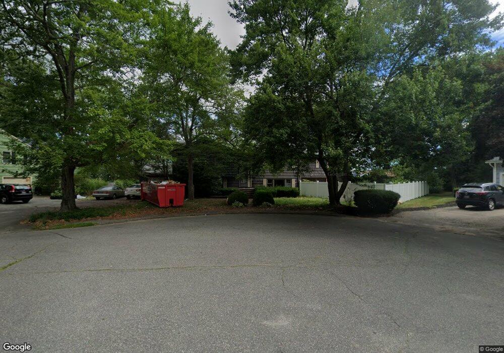
14 Howe Cir Randolph, MA 02368
Downtown Randolph NeighborhoodEstimated Value: $713,000 - $727,728
4
Beds
3
Baths
1,908
Sq Ft
$377/Sq Ft
Est. Value
About This Home
This home is located at 14 Howe Cir, Randolph, MA 02368 and is currently estimated at $718,932, approximately $376 per square foot. 14 Howe Cir is a home located in Norfolk County with nearby schools including Randolph High School and Lighthouse Baptist Christian Academy.
Ownership History
Date
Name
Owned For
Owner Type
Purchase Details
Closed on
Jul 16, 1999
Sold by
Tetler James and Tetler Constance M
Bought by
Cox Woodrow
Current Estimated Value
Home Financials for this Owner
Home Financials are based on the most recent Mortgage that was taken out on this home.
Original Mortgage
$184,000
Outstanding Balance
$45,001
Interest Rate
7.39%
Mortgage Type
Purchase Money Mortgage
Estimated Equity
$673,931
Create a Home Valuation Report for This Property
The Home Valuation Report is an in-depth analysis detailing your home's value as well as a comparison with similar homes in the area
Home Values in the Area
Average Home Value in this Area
Purchase History
| Date | Buyer | Sale Price | Title Company |
|---|---|---|---|
| Cox Woodrow | $230,000 | -- |
Source: Public Records
Mortgage History
| Date | Status | Borrower | Loan Amount |
|---|---|---|---|
| Open | Cox Woodrow | $184,000 |
Source: Public Records
Tax History
| Year | Tax Paid | Tax Assessment Tax Assessment Total Assessment is a certain percentage of the fair market value that is determined by local assessors to be the total taxable value of land and additions on the property. | Land | Improvement |
|---|---|---|---|---|
| 2025 | $7,464 | $642,900 | $232,100 | $410,800 |
| 2024 | $7,330 | $640,200 | $227,600 | $412,600 |
| 2023 | $6,932 | $573,800 | $206,900 | $366,900 |
| 2022 | $6,690 | $491,900 | $172,500 | $319,400 |
| 2021 | $6,556 | $443,600 | $143,800 | $299,800 |
| 2020 | $6,581 | $441,400 | $143,800 | $297,600 |
| 2019 | $6,507 | $434,400 | $136,800 | $297,600 |
| 2018 | $6,290 | $396,100 | $124,400 | $271,700 |
| 2017 | $6,058 | $374,400 | $118,500 | $255,900 |
| 2016 | $5,874 | $337,800 | $107,700 | $230,100 |
| 2015 | $5,734 | $316,800 | $102,600 | $214,200 |
Source: Public Records
Map
Nearby Homes
- 12 Darrell Dr
- 64 North St
- 159 Bittersweet Ln Unit 107
- 71 Cole Terrace
- 35 Pearl St Unit 35
- 28 Mcdonnell Dr
- 5 Patterson Ave E
- 20 Jasper Ln
- 12 Jasper Ln Unit 12
- 10 N Glenway Ave
- 38 Druid Hill Ave E
- 5 Dartmouth St
- 19 Clark St
- 22 Clark St
- 469 North St
- 1 Eisenhower Dr
- 66 Frederickson Dr
- 5 Clarendon Cir Unit Lot 4
- 13 Mcauliffe Rd
- 747 S Main St
Your Personal Tour Guide
Ask me questions while you tour the home.