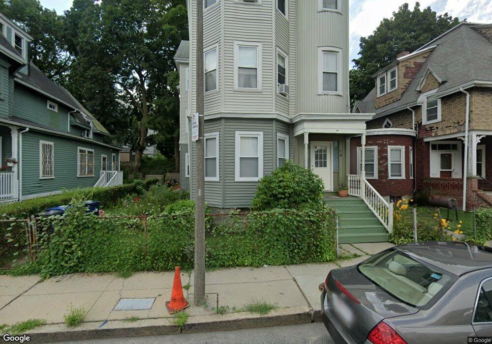
14 Howland St Dorchester, MA 02121
Washington Park NeighborhoodEstimated Value: $969,000 - $1,239,000
6
Beds
3
Baths
5,398
Sq Ft
$204/Sq Ft
Est. Value
About This Home
This home is located at 14 Howland St, Dorchester, MA 02121 and is currently estimated at $1,099,333, approximately $203 per square foot. 14 Howland St is a home located in Suffolk County with nearby schools including Bridge Boston Charter School and Mother Caroline Academy & Education Center.
Ownership History
Date
Name
Owned For
Owner Type
Purchase Details
Closed on
May 15, 2020
Sold by
Parnell Hermina
Bought by
Hermina T Parnell T
Current Estimated Value
Purchase Details
Closed on
Nov 21, 2000
Sold by
Taylor Marion F
Bought by
Anderson Theresa C
Home Financials for this Owner
Home Financials are based on the most recent Mortgage that was taken out on this home.
Original Mortgage
$109,000
Interest Rate
7.78%
Mortgage Type
Purchase Money Mortgage
Create a Home Valuation Report for This Property
The Home Valuation Report is an in-depth analysis detailing your home's value as well as a comparison with similar homes in the area
Home Values in the Area
Average Home Value in this Area
Purchase History
| Date | Buyer | Sale Price | Title Company |
|---|---|---|---|
| Hermina T Parnell T | -- | None Available | |
| Anderson Theresa C | $140,000 | -- |
Source: Public Records
Mortgage History
| Date | Status | Borrower | Loan Amount |
|---|---|---|---|
| Previous Owner | Anderson Theresa C | $109,000 |
Source: Public Records
Tax History Compared to Growth
Tax History
| Year | Tax Paid | Tax Assessment Tax Assessment Total Assessment is a certain percentage of the fair market value that is determined by local assessors to be the total taxable value of land and additions on the property. | Land | Improvement |
|---|---|---|---|---|
| 2025 | $11,146 | $962,500 | $253,400 | $709,100 |
| 2024 | $10,209 | $936,600 | $257,500 | $679,100 |
| 2023 | $8,979 | $836,000 | $229,800 | $606,200 |
| 2022 | $8,499 | $781,200 | $214,800 | $566,400 |
| 2021 | $8,014 | $751,100 | $206,500 | $544,600 |
| 2020 | $5,257 | $497,800 | $204,300 | $293,500 |
| 2019 | $4,684 | $444,400 | $151,000 | $293,400 |
| 2018 | $4,434 | $423,100 | $151,000 | $272,100 |
| 2017 | $4,481 | $423,100 | $151,000 | $272,100 |
| 2016 | $4,047 | $367,900 | $151,000 | $216,900 |
| 2015 | $3,359 | $277,400 | $99,200 | $178,200 |
| 2014 | $3,116 | $247,700 | $99,200 | $148,500 |
Source: Public Records
Map
Nearby Homes
- 164 Ruthven St Unit 1
- 7 Waumbeck St Unit 3
- 136-138 Homestead St
- 28 Wabon St
- 495 Warren St
- 32 Hartwell St
- 4 Wyoming St Unit 2
- 40 Devon St Unit 3
- 476 Warren St
- 2 Otisfield St
- 214 Humboldt Ave
- 352 Blue Hill Ave Unit 8
- 340 Blue Hill Ave
- 78 Hutchings St Unit 1
- 5 Glenburne St
- 63 Normandy St
- 52 Intervale St
- 8 Weldon St
- 12 Weldon St
- 75 Ruthven St
- 16 Howland St Unit 2
- 16 Howland St
- 16 Howland St
- 16 Howland St Unit 1
- 12 Howland St
- 18 Howland St
- 10 Howland St
- 29 Crawford St
- 11 Howland St
- 15 Howland St
- 31 Crawford St
- 31 Crawford St Unit 3
- 31 Crawford St
- 31 Crawford St Unit 2
- 25 Crawford St
- 17 Howland St
- 20 Howland St
- 9 Howland St
- 33 Crawford St
- 19 Howland St