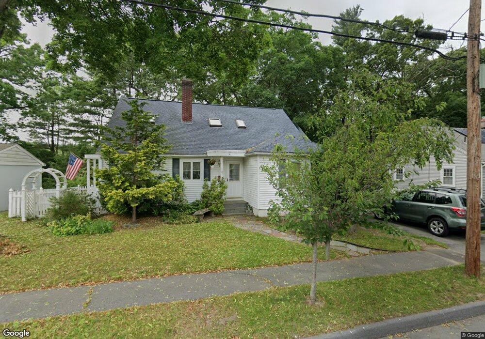
14 Hunthurst Cir Worcester, MA 01602
Tatnuck NeighborhoodEstimated Value: $484,000 - $522,000
4
Beds
3
Baths
1,716
Sq Ft
$294/Sq Ft
Est. Value
About This Home
This home is located at 14 Hunthurst Cir, Worcester, MA 01602 and is currently estimated at $505,217, approximately $294 per square foot. 14 Hunthurst Cir is a home located in Worcester County with nearby schools including Chandler Magnet, Jacob Hiatt Magnet School, and May Street Elementary School.
Ownership History
Date
Name
Owned For
Owner Type
Purchase Details
Closed on
Sep 24, 2004
Sold by
Est Rosenblatt Bernard and Rosenblatt Sheila H
Bought by
Glatt Jeffrey
Current Estimated Value
Purchase Details
Closed on
Sep 22, 2003
Sold by
Clark Cliana D and Clark William M
Bought by
Rosenblatt Sheila H
Purchase Details
Closed on
Jul 15, 1988
Sold by
Beam Brian
Bought by
Clark William M
Home Financials for this Owner
Home Financials are based on the most recent Mortgage that was taken out on this home.
Original Mortgage
$112,800
Interest Rate
10.57%
Mortgage Type
Purchase Money Mortgage
Create a Home Valuation Report for This Property
The Home Valuation Report is an in-depth analysis detailing your home's value as well as a comparison with similar homes in the area
Home Values in the Area
Average Home Value in this Area
Purchase History
| Date | Buyer | Sale Price | Title Company |
|---|---|---|---|
| Glatt Jeffrey | -- | -- | |
| Rosenblatt Sheila H | $254,900 | -- | |
| Clark William M | $141,000 | -- |
Source: Public Records
Mortgage History
| Date | Status | Borrower | Loan Amount |
|---|---|---|---|
| Previous Owner | Clark William M | $112,800 |
Source: Public Records
Tax History Compared to Growth
Tax History
| Year | Tax Paid | Tax Assessment Tax Assessment Total Assessment is a certain percentage of the fair market value that is determined by local assessors to be the total taxable value of land and additions on the property. | Land | Improvement |
|---|---|---|---|---|
| 2025 | $5,471 | $414,776 | $148,176 | $266,600 |
| 2024 | $5,391 | $392,076 | $148,176 | $243,900 |
| 2023 | $5,152 | $359,304 | $128,804 | $230,500 |
| 2022 | $5,271 | $346,549 | $140,049 | $206,500 |
| 2021 | $5,063 | $310,972 | $112,172 | $198,800 |
| 2020 | $4,988 | $293,400 | $112,100 | $181,300 |
| 2019 | $4,750 | $263,900 | $100,900 | $163,000 |
| 2018 | $4,805 | $254,100 | $100,900 | $153,200 |
| 2017 | $4,553 | $236,900 | $100,900 | $136,000 |
| 2016 | $4,326 | $209,900 | $73,900 | $136,000 |
| 2015 | $4,213 | $209,900 | $73,900 | $136,000 |
| 2014 | $4,101 | $209,900 | $73,900 | $136,000 |
Source: Public Records
Map
Nearby Homes
- 563 Chandler St
- 47R Yarnie Unit 3B
- 47R Yarnie Unit 3A
- 47R Yarnie Unit 1B
- 47R Yarnie Unit 2B
- 47R Yarnie Unit 4B
- 47R Yarnie Unit 8B
- 47R Yarnie Unit 5A
- 47R Yarnie Unit 6B
- 47R Yarnie Unit 4A
- 47R Yarnie Unit 1A
- 47R Yarnie Unit 9
- 47R Yarnie Unit 8A
- 47R Yarnie Unit 6A
- 47R Yarnie Unit 7A
- 47R Yarnie Unit 5B
- 47R Yarnie Unit 2A
- 47R Yarnie Unit 7B
- 20 Manhattan Rd
- 71 Glendale St
- 12 Hunthurst Cir
- 16 Hunthurst Cir
- 10 Hunthurst Cir
- 18 Hunthurst Cir
- 17 Hunthurst Cir
- 15 Hunthurst Cir
- 21 Hunthurst Cir
- 8 Hunthurst Cir
- 13 Hunthurst Cir
- 20 Hunthurst Cir
- 23 Hunthurst Cir
- 11 Hunthurst Cir
- 6 Hunthurst Cir
- 22 Hunthurst Cir
- 25 Hunthurst Cir
- 24 Hunthurst Cir
- 51 Hunthurst Cir
- 26 Hunthurst Cir
- 4 Hunthurst Cir
- 5 Hunthurst Cir