14 Kevin's Way Scituate, MA 02066
Estimated Value: $900,000 - $1,027,911
3
Beds
3
Baths
2,200
Sq Ft
$439/Sq Ft
Est. Value
About This Home
This home is located at 14 Kevin's Way, Scituate, MA 02066 and is currently estimated at $965,728, approximately $438 per square foot. 14 Kevin's Way is a home located in Plymouth County with nearby schools including Hatherly Elementary School, Lester J. Gates Middle School, and Scituate High School.
Ownership History
Date
Name
Owned For
Owner Type
Purchase Details
Closed on
Dec 16, 2024
Sold by
14 Kevins Way Unit 6 Rt and Stecklair
Bought by
Sullivan Kathleen M and Sullivan Margaret M
Current Estimated Value
Home Financials for this Owner
Home Financials are based on the most recent Mortgage that was taken out on this home.
Original Mortgage
$600,000
Outstanding Balance
$594,121
Interest Rate
6.72%
Mortgage Type
Purchase Money Mortgage
Estimated Equity
$371,607
Purchase Details
Closed on
Feb 17, 2023
Sold by
Stecklair Jeffrey R and Secord Linda M
Bought by
14 Kevin Way Unit 6 Rt and Stecklair
Create a Home Valuation Report for This Property
The Home Valuation Report is an in-depth analysis detailing your home's value as well as a comparison with similar homes in the area
Home Values in the Area
Average Home Value in this Area
Purchase History
| Date | Buyer | Sale Price | Title Company |
|---|---|---|---|
| Sullivan Kathleen M | $939,000 | None Available | |
| Sullivan Kathleen M | $939,000 | None Available | |
| 14 Kevin Way Unit 6 Rt | -- | None Available | |
| 14 Kevin Way Unit 6 Rt | -- | None Available |
Source: Public Records
Mortgage History
| Date | Status | Borrower | Loan Amount |
|---|---|---|---|
| Open | Sullivan Kathleen M | $600,000 | |
| Closed | Sullivan Kathleen M | $600,000 |
Source: Public Records
Tax History Compared to Growth
Tax History
| Year | Tax Paid | Tax Assessment Tax Assessment Total Assessment is a certain percentage of the fair market value that is determined by local assessors to be the total taxable value of land and additions on the property. | Land | Improvement |
|---|---|---|---|---|
| 2025 | $8,327 | $833,500 | $0 | $833,500 |
| 2024 | $8,234 | $794,800 | $0 | $794,800 |
| 2023 | $8,241 | $730,200 | $0 | $730,200 |
| 2022 | $8,241 | $653,000 | $0 | $653,000 |
| 2021 | $8,279 | $621,100 | $0 | $621,100 |
| 2020 | $7,992 | $592,000 | $0 | $592,000 |
| 2019 | $7,825 | $569,500 | $0 | $569,500 |
Source: Public Records
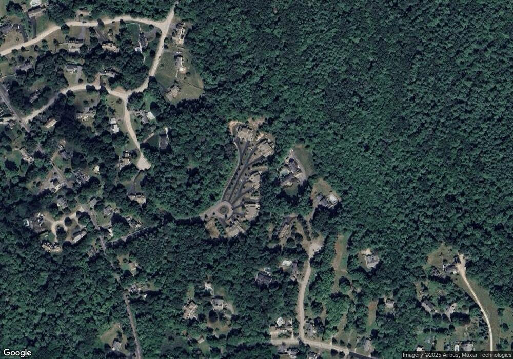
Map
Nearby Homes
- 0 Bates Ln (Lot E Kevin's Way) Unit 73419598
- 449 Clapp Rd
- 455 Clapp Rd
- 453 Clapp Rd
- 451 Clapp Rd
- 453 - 455 Clapp Rd
- 94 Arrowwood Dr
- 508 Beechwood St
- 342 Summer St
- 99 Doane St
- 334 Summer St
- 8 Trudys Ln
- 84 Booth Hill Rd
- 40 Brewster Rd
- 11 Forest Ln
- 9 Forest Ln Unit 9
- 9 Kyle Path
- 0 Mount Blue St
- 817 Country Way
- 392 S Main St
- 14 Kevin's Way Unit 6
- 10 Kevin's Way Unit 10
- 8 Kevin's Way Unit 3
- 16 Kevins Way Unit 8
- 16 Kevin's Way Unit 7
- 47 Mount Hope Ln
- 20 Kevin's Way Unit 9
- 20 Kevins Way Unit 10
- 2 Kevins Way Unit 2
- 6 Kevin's Way Unit 2
- 4 Kevin's Way Unit 1
- 4 Kevin's Way Unit 4
- 41 Mount Hope Ln
- 46 Mount Hope Ln
- 33 Mount Hope Ln
- 344 Clapp Rd
- 11 Briar Meadow Cir
- 32 Indian Wind Dr
- 16 Briar Meadow Cir
- 350 Clapp Rd