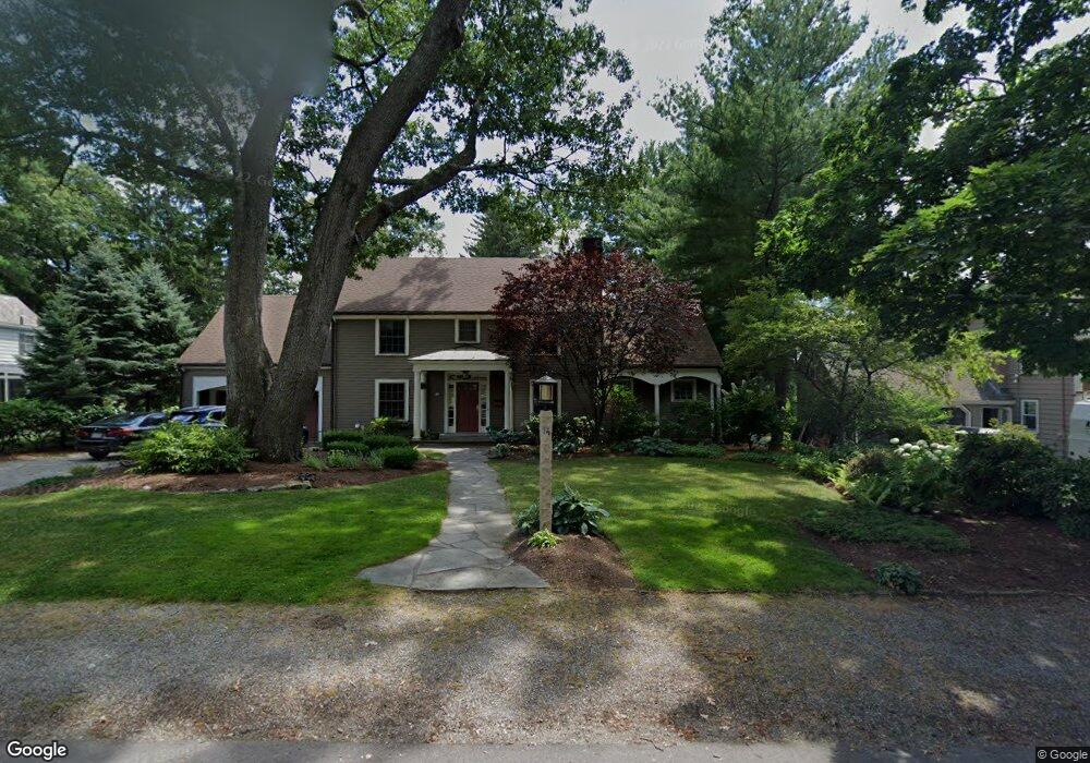
14 Kewadin Rd Waban, MA 02468
Waban NeighborhoodEstimated Value: $1,821,000 - $2,886,000
3
Beds
2
Baths
1,666
Sq Ft
$1,510/Sq Ft
Est. Value
About This Home
This home is located at 14 Kewadin Rd, Waban, MA 02468 and is currently estimated at $2,515,586, approximately $1,509 per square foot. 14 Kewadin Rd is a home located in Middlesex County with nearby schools including Angier Elementary School, Charles E Brown Middle School, and Newton South High School.
Ownership History
Date
Name
Owned For
Owner Type
Purchase Details
Closed on
Jan 12, 2018
Sold by
Brodeur John E
Bought by
Brodeur John E and Coville Andrea M
Current Estimated Value
Purchase Details
Closed on
Dec 28, 2007
Sold by
Fulp C Bernard
Bought by
Brodeur John E
Home Financials for this Owner
Home Financials are based on the most recent Mortgage that was taken out on this home.
Original Mortgage
$417,000
Interest Rate
6.27%
Mortgage Type
Purchase Money Mortgage
Create a Home Valuation Report for This Property
The Home Valuation Report is an in-depth analysis detailing your home's value as well as a comparison with similar homes in the area
Home Values in the Area
Average Home Value in this Area
Purchase History
| Date | Buyer | Sale Price | Title Company |
|---|---|---|---|
| Brodeur John E | -- | -- | |
| Brodeur John E | $870,000 | -- |
Source: Public Records
Mortgage History
| Date | Status | Borrower | Loan Amount |
|---|---|---|---|
| Previous Owner | Brodeur John E | $417,000 |
Source: Public Records
Tax History
| Year | Tax Paid | Tax Assessment Tax Assessment Total Assessment is a certain percentage of the fair market value that is determined by local assessors to be the total taxable value of land and additions on the property. | Land | Improvement |
|---|---|---|---|---|
| 2025 | $24,703 | $2,520,700 | $1,439,400 | $1,081,300 |
| 2024 | $23,886 | $2,447,300 | $1,397,500 | $1,049,800 |
| 2023 | $23,074 | $2,266,600 | $1,092,400 | $1,174,200 |
| 2022 | $22,078 | $2,098,700 | $1,011,500 | $1,087,200 |
| 2021 | $21,304 | $1,979,900 | $954,200 | $1,025,700 |
| 2020 | $20,670 | $1,979,900 | $954,200 | $1,025,700 |
| 2019 | $20,087 | $1,922,200 | $926,400 | $995,800 |
| 2018 | $19,820 | $1,831,800 | $835,000 | $996,800 |
| 2017 | $19,216 | $1,728,100 | $787,700 | $940,400 |
| 2016 | $18,379 | $1,615,000 | $736,200 | $878,800 |
| 2015 | $17,523 | $1,509,300 | $688,000 | $821,300 |
Source: Public Records
Map
Nearby Homes
- 873 Chestnut St
- 34 Larchmont Ave
- 1003 Chestnut St
- 20 Kinmonth Rd Unit 203
- 20 Kinmonth Rd Unit 306
- 20 Kinmonth Rd Unit 201
- 138 Waban Ave
- 181 Saint Mary St
- 187 Saint Mary St
- 110 Avalon Rd
- 27 Hamilton Place
- 51 Pettee St Unit 11
- 29 Montclair Rd
- 1077 Boylston St Unit 1
- 115 Windsor Rd
- 18 Evergreen Rd
- 18 Josselyn Place Unit 18
- 14 Pennsylvania Ave Unit 14
- 20 Pennsylvania Ave
- 20 Pennsylvania Ave Unit 20
Your Personal Tour Guide
Ask me questions while you tour the home.