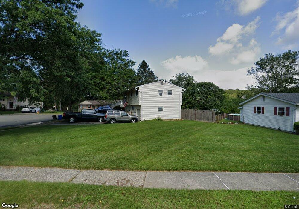
14 Kory Rd Newton, NJ 07860
Estimated Value: $404,228 - $455,000
--
Bed
--
Bath
1,672
Sq Ft
$261/Sq Ft
Est. Value
About This Home
This home is located at 14 Kory Rd, Newton, NJ 07860 and is currently estimated at $435,557, approximately $260 per square foot. 14 Kory Rd is a home located in Sussex County with nearby schools including Merriam Avenue School, Halsted Street Middle School, and Newton High School.
Ownership History
Date
Name
Owned For
Owner Type
Purchase Details
Closed on
Mar 14, 2001
Sold by
Federal Home Loan Mortgage Corporation
Bought by
Schick Earl W
Current Estimated Value
Home Financials for this Owner
Home Financials are based on the most recent Mortgage that was taken out on this home.
Original Mortgage
$153,258
Outstanding Balance
$55,764
Interest Rate
7.01%
Mortgage Type
FHA
Estimated Equity
$379,793
Purchase Details
Closed on
Aug 17, 2000
Sold by
Mccauley Brian A and Mccauley Mary
Bought by
Federal Home Loan Mortgage Corporation
Create a Home Valuation Report for This Property
The Home Valuation Report is an in-depth analysis detailing your home's value as well as a comparison with similar homes in the area
Home Values in the Area
Average Home Value in this Area
Purchase History
| Date | Buyer | Sale Price | Title Company |
|---|---|---|---|
| Schick Earl W | $154,470 | -- | |
| Federal Home Loan Mortgage Corporation | -- | -- |
Source: Public Records
Mortgage History
| Date | Status | Borrower | Loan Amount |
|---|---|---|---|
| Open | Schick Earl W | $153,258 |
Source: Public Records
Tax History Compared to Growth
Tax History
| Year | Tax Paid | Tax Assessment Tax Assessment Total Assessment is a certain percentage of the fair market value that is determined by local assessors to be the total taxable value of land and additions on the property. | Land | Improvement |
|---|---|---|---|---|
| 2025 | $8,844 | $351,500 | $116,100 | $235,400 |
| 2024 | $8,813 | $324,300 | $93,500 | $230,800 |
| 2023 | $8,813 | $196,100 | $68,500 | $127,600 |
| 2022 | $8,848 | $196,100 | $68,500 | $127,600 |
| 2021 | $8,809 | $196,100 | $68,500 | $127,600 |
| 2020 | $8,674 | $196,100 | $68,500 | $127,600 |
| 2019 | $8,405 | $196,100 | $68,500 | $127,600 |
| 2018 | $8,360 | $196,100 | $68,500 | $127,600 |
| 2017 | $8,311 | $196,100 | $68,500 | $127,600 |
| 2016 | $8,177 | $196,100 | $68,500 | $127,600 |
| 2015 | $7,962 | $196,100 | $68,500 | $127,600 |
| 2014 | $7,797 | $196,100 | $68,500 | $127,600 |
Source: Public Records
Map
Nearby Homes
- 14 Trenton Place
- 30 Linmor Ave
- 66 Paterson Ave
- 46 Orchard St Unit 2
- 63 Merriam Ave
- 36 Paterson Ave
- 46 Pine St
- 103 Woodside Ave
- 21 Gregg Ct
- 19 Gregg Ct
- 18 Joseph Dr
- 8 Orchard St
- 18 Lincoln Place
- 76 Carriage Ln Unit 76
- 0 W Nelson St
- 22 Woodside Ave
- 40 Carriage Ln Unit 40
- 21 Carriage Ln Unit 21
- 41 Plainfield Ave
- 219 Woodside Ave