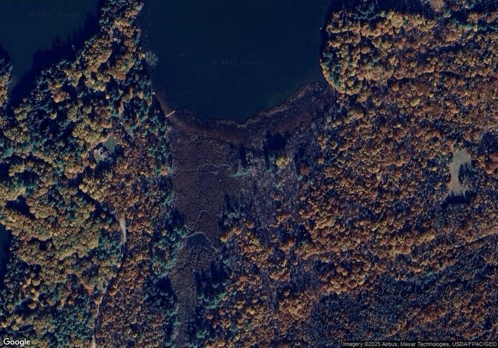
14 Lamson Rd Windsor, ME 04363
Estimated Value: $237,000 - $518,000
Studio
--
Bath
960
Sq Ft
$356/Sq Ft
Est. Value
About This Home
This home is located at 14 Lamson Rd, Windsor, ME 04363 and is currently estimated at $341,304, approximately $355 per square foot. 14 Lamson Rd is a home with nearby schools including Windsor Elementary School.
Ownership History
Date
Name
Owned For
Owner Type
Purchase Details
Closed on
Jun 27, 2019
Sold by
Keller Jane H and Keller Norman B
Bought by
Pratt Bruce W and Pratt Christine A
Current Estimated Value
Home Financials for this Owner
Home Financials are based on the most recent Mortgage that was taken out on this home.
Original Mortgage
$133,816
Outstanding Balance
$117,665
Interest Rate
4%
Mortgage Type
VA
Estimated Equity
$223,639
Create a Home Valuation Report for This Property
The Home Valuation Report is an in-depth analysis detailing your home's value as well as a comparison with similar homes in the area
Home Values in the Area
Average Home Value in this Area
Purchase History
| Date | Buyer | Sale Price | Title Company |
|---|---|---|---|
| Pratt Bruce W | -- | -- |
Source: Public Records
Mortgage History
| Date | Status | Borrower | Loan Amount |
|---|---|---|---|
| Open | Pratt Bruce W | $133,816 |
Source: Public Records
Tax History
| Year | Tax Paid | Tax Assessment Tax Assessment Total Assessment is a certain percentage of the fair market value that is determined by local assessors to be the total taxable value of land and additions on the property. | Land | Improvement |
|---|---|---|---|---|
| 2024 | $2,055 | $223,400 | $46,800 | $176,600 |
| 2023 | $1,682 | $116,000 | $26,600 | $89,400 |
| 2022 | $1,589 | $116,000 | $26,600 | $89,400 |
| 2021 | $1,508 | $116,000 | $26,600 | $89,400 |
| 2020 | $1,485 | $116,000 | $26,600 | $89,400 |
| 2019 | $1,473 | $116,000 | $26,600 | $89,400 |
| 2018 | $1,496 | $116,000 | $26,600 | $89,400 |
| 2017 | $1,485 | $116,000 | $26,600 | $89,400 |
| 2016 | $1,473 | $116,000 | $26,600 | $89,400 |
| 2015 | $1,380 | $116,000 | $26,600 | $89,400 |
| 2014 | $1,508 | $116,000 | $26,600 | $89,400 |
| 2013 | $1,531 | $116,000 | $26,600 | $89,400 |
Source: Public Records
Map
Nearby Homes
- 14 King Rd
- 19 King Rd
- 11 Northeast Way
- 29 Mudget Hill Rd
- 146 Lone Indian Trail
- 175 Buck N Doe Trail
- 57 Elm Ln
- 1650 N Belfast Ave
- 89 Lone Indian Trail Lot 4-A111 Trail
- Lot 4-A-11 Lone Indian Trail
- Lot 73A Lone Indian Trail
- M4A L71 Lone Indian Trail
- 89 Lone Indian Trail
- 140 Ingraham Rd
- 0 Park Ln Unit 1630167
- 0 Route 3 Unit 1614660
- 0 Route 3 Unit 1634131
- 139 Maine 3
- 824 Ridge Rd
- 34 Albee Rd
- 3 Duck Ln
- 9 Duck Ln
- 197 Park Ln
- 128 Cunningham Rd
- 110 Rowe Rd
- 48 Cunningham Rd
- 61 Rowe Rd
- 57 Rowe Rd
- 37 Shake Down Ln
- 191 Park Ln
- 189 Park Ln
- 0 Legion Park Rd Unit 378547
- 0 Legion Park Rd Unit 273740
- 0 Legion Park Rd Unit 270981
- 0 Legion Park Rd Unit 253421
- 0 Legion Park Rd Unit 1430881
- 30 Shake Down Ln
- 344 Park Ln
- 23 Shake Down Ln
- 29 Rowe Rd
