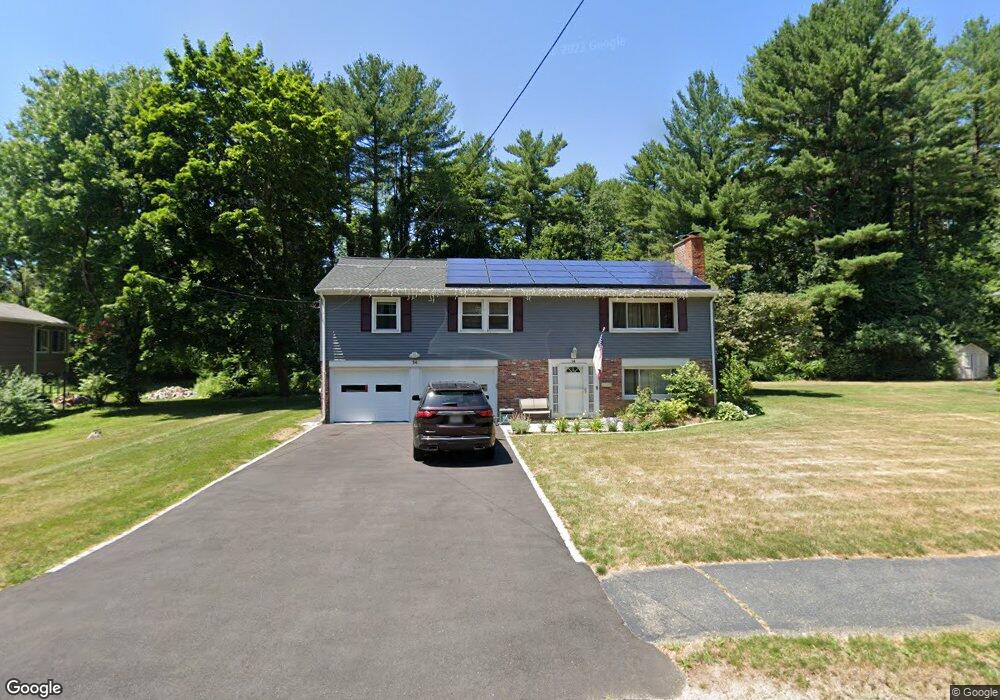
14 Lanewood Ave Framingham, MA 01701
Estimated Value: $677,000 - $760,000
3
Beds
3
Baths
1,296
Sq Ft
$563/Sq Ft
Est. Value
About This Home
This home is located at 14 Lanewood Ave, Framingham, MA 01701 and is currently estimated at $729,392, approximately $562 per square foot. 14 Lanewood Ave is a home located in Middlesex County with nearby schools including Framingham High School, Sudbury Valley School, and Fay School.
Ownership History
Date
Name
Owned For
Owner Type
Purchase Details
Closed on
Jan 16, 2003
Sold by
Wood Bruce C
Bought by
Caira Lonnie and Caira Cheryl
Current Estimated Value
Home Financials for this Owner
Home Financials are based on the most recent Mortgage that was taken out on this home.
Original Mortgage
$346,750
Outstanding Balance
$149,651
Interest Rate
6.18%
Mortgage Type
Purchase Money Mortgage
Estimated Equity
$579,741
Create a Home Valuation Report for This Property
The Home Valuation Report is an in-depth analysis detailing your home's value as well as a comparison with similar homes in the area
Home Values in the Area
Average Home Value in this Area
Purchase History
| Date | Buyer | Sale Price | Title Company |
|---|---|---|---|
| Caira Lonnie | $365,000 | -- | |
| Caira Lonnie | $365,000 | -- |
Source: Public Records
Mortgage History
| Date | Status | Borrower | Loan Amount |
|---|---|---|---|
| Open | Caira Lonnie | $346,750 | |
| Closed | Caira Lonnie | $346,750 | |
| Previous Owner | Caira Lonnie | $40,000 | |
| Previous Owner | Caira Lonnie | $82,000 |
Source: Public Records
Tax History Compared to Growth
Tax History
| Year | Tax Paid | Tax Assessment Tax Assessment Total Assessment is a certain percentage of the fair market value that is determined by local assessors to be the total taxable value of land and additions on the property. | Land | Improvement |
|---|---|---|---|---|
| 2025 | $8,065 | $675,500 | $315,700 | $359,800 |
| 2024 | $7,837 | $629,000 | $281,200 | $347,800 |
| 2023 | $7,508 | $573,600 | $259,100 | $314,500 |
| 2022 | $7,132 | $519,100 | $235,400 | $283,700 |
| 2021 | $7,129 | $507,400 | $226,200 | $281,200 |
| 2020 | $6,778 | $452,500 | $205,700 | $246,800 |
| 2019 | $6,280 | $408,300 | $182,400 | $225,900 |
| 2018 | $6,218 | $381,000 | $178,800 | $202,200 |
| 2017 | $6,009 | $359,600 | $173,600 | $186,000 |
| 2016 | $5,974 | $343,700 | $175,200 | $168,500 |
| 2015 | $5,879 | $329,900 | $175,500 | $154,400 |
Source: Public Records
Map
Nearby Homes
- 25 Lanewood Ave
- 32 Angelica Dr
- 22 Briarwood Rd
- 13 Briarwood Rd
- 41 Briarwood Rd
- 6 Tally Ho Ln
- 21 Bosworth Rd
- 1 Pleasantview Terrace
- 1022 Pleasant St
- 9 Pleasantview Terrace
- 6 Witherbee Ln
- 58 Pine Hill Rd
- 67 Pine Hill Rd
- 27 Flanagan Dr
- 21 William Onthank Ln
- 38 William Onthank Ln
- 40 William Onthank Ln
- 1 Blueberry Ln
- 33 Valley Rd
- 10 Millwood Cir
- 16 Lanewood Ave
- 18 Lanewood Ave
- 10 Lanewood Ave
- 15 Lanewood Ave
- 14 Wildewood Terrace
- 20 Lanewood Ave
- 13 Lanewood Ave
- 8 Lanewood Ave
- 16 Wildewood Terrace
- 12 Wildewood Terrace
- 18 Wildewood Terrace
- 5 Angelica Dr
- 11 Lanewood Ave
- 22 Lanewood Ave
- 3 Angelica Dr
- 6 Lanewood Ave
- 7 Angelica Dr
- 19 Angelica Dr
- 21 Angelica Dr
- 17 Angelica Dr