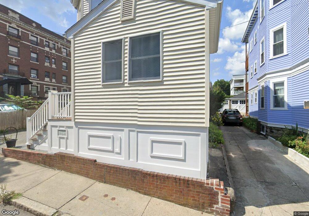
14 Langmaid Ave Somerville, MA 02145
Ten Hills NeighborhoodEstimated Value: $1,008,403 - $1,164,000
5
Beds
2
Baths
2,687
Sq Ft
$414/Sq Ft
Est. Value
About This Home
This home is located at 14 Langmaid Ave, Somerville, MA 02145 and is currently estimated at $1,111,101, approximately $413 per square foot. 14 Langmaid Ave is a home located in Middlesex County with nearby schools including Somerville High School and Bright Future Educare Center.
Ownership History
Date
Name
Owned For
Owner Type
Purchase Details
Closed on
Mar 20, 2025
Sold by
Norton-Hunt Lillian E
Bought by
Hunt Ft and Hunt
Current Estimated Value
Purchase Details
Closed on
Dec 14, 2022
Sold by
Norton Joanne H
Bought by
Norton-Hunt Lillian E
Purchase Details
Closed on
May 17, 1993
Sold by
Murnane Robert C and Murnane Barbara A
Bought by
Norton Joanne H and Norton Lillian E
Create a Home Valuation Report for This Property
The Home Valuation Report is an in-depth analysis detailing your home's value as well as a comparison with similar homes in the area
Home Values in the Area
Average Home Value in this Area
Purchase History
| Date | Buyer | Sale Price | Title Company |
|---|---|---|---|
| Hunt Ft | -- | None Available | |
| Hunt Ft | -- | None Available | |
| Norton-Hunt Lillian E | -- | None Available | |
| Norton-Hunt Lillian E | -- | None Available | |
| Norton Joanne H | $60,000 | -- | |
| Norton Joanne H | $60,000 | -- |
Source: Public Records
Tax History Compared to Growth
Tax History
| Year | Tax Paid | Tax Assessment Tax Assessment Total Assessment is a certain percentage of the fair market value that is determined by local assessors to be the total taxable value of land and additions on the property. | Land | Improvement |
|---|---|---|---|---|
| 2025 | $8,822 | $808,600 | $298,900 | $509,700 |
| 2024 | $8,411 | $799,500 | $298,900 | $500,600 |
| 2023 | $7,914 | $765,400 | $298,900 | $466,500 |
| 2022 | $7,462 | $733,000 | $284,700 | $448,300 |
| 2021 | $6,948 | $681,800 | $258,600 | $423,200 |
| 2020 | $6,526 | $646,800 | $248,600 | $398,200 |
| 2019 | $5,923 | $550,500 | $209,200 | $341,300 |
| 2018 | $5,405 | $477,900 | $190,200 | $287,700 |
| 2017 | $5,322 | $456,000 | $179,500 | $276,500 |
| 2016 | $4,979 | $397,400 | $145,700 | $251,700 |
| 2015 | $4,973 | $394,400 | $144,900 | $249,500 |
Source: Public Records
Map
Nearby Homes
- 176-182 Broadway
- 59 Dartmouth St Unit A
- 19 Fenwick St Unit 4
- 115 Thurston St Unit I
- 115 Thurston St Unit B
- 94 Jaques St Unit B
- 29 Fenwick St
- 7 Bond St
- 71 Thurston St
- 89 Heath St
- 13 Sargent Ave Unit 2
- 25 Browning Rd
- 51 Edgar Ave
- 31 Thurston St Unit 6
- 7 Jaques St
- 84 Grant St Unit 7
- 185 School St
- 30A Summer
- 400 Medford St
- 7 Stickney Ave
- 14 Langmaid Ave Unit 14
- 16 Langmaid Ave Unit 16
- 14 Langmaid Ave Unit 11
- 18 Langmaid Ave
- 15 Langmaid Ave Unit 2
- 15 Langmaid Ave Unit 1
- 15 Langmaid Ave Unit 15
- 8 Langmaid Ave Unit 4
- 8 Langmaid Ave Unit 11
- 8 Langmaid Ave Unit 24
- 8 Langmaid Ave Unit 31
- 8 Langmaid Ave Unit 3
- 8 Langmaid Ave Unit 14
- 8 Langmaid Ave Unit 8
- 4 Langmaid Ave Unit 4
- 4 Langmaid Ave Unit 11
- 8 Langmaid Ave Unit C3
- 8 Langmaid Ave Unit 12A
- 4 Langmaid Ave Unit 1
- 8 Langmaid Ave Unit 21