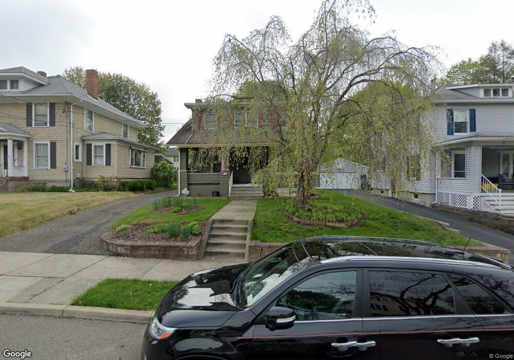
14 Laurel Ave Binghamton, NY 13905
Far West Side NeighborhoodEstimated Value: $225,283 - $262,000
4
Beds
1
Bath
1,606
Sq Ft
$149/Sq Ft
Est. Value
About This Home
This home is located at 14 Laurel Ave, Binghamton, NY 13905 and is currently estimated at $239,571, approximately $149 per square foot. 14 Laurel Ave is a home located in Broome County with nearby schools including Horace Mann Elementary School, Binghamton High School, and West Middle School.
Ownership History
Date
Name
Owned For
Owner Type
Purchase Details
Closed on
Nov 16, 2012
Sold by
Williams Catherine R
Bought by
Williams Catherine R and Tikhomirov Aleksey A
Current Estimated Value
Home Financials for this Owner
Home Financials are based on the most recent Mortgage that was taken out on this home.
Original Mortgage
$132,800
Outstanding Balance
$23,601
Interest Rate
3.4%
Mortgage Type
New Conventional
Estimated Equity
$215,970
Purchase Details
Closed on
Oct 21, 2003
Sold by
Williams David
Bought by
Williams Catherine
Purchase Details
Closed on
Dec 22, 1997
Sold by
Foresman Rodger D
Bought by
Williams David J and Williams Catherine R
Create a Home Valuation Report for This Property
The Home Valuation Report is an in-depth analysis detailing your home's value as well as a comparison with similar homes in the area
Home Values in the Area
Average Home Value in this Area
Purchase History
| Date | Buyer | Sale Price | Title Company |
|---|---|---|---|
| Williams Catherine R | -- | None Available | |
| Williams Catherine | -- | -- | |
| Williams David J | $54,000 | -- |
Source: Public Records
Mortgage History
| Date | Status | Borrower | Loan Amount |
|---|---|---|---|
| Open | Williams Catherine R | $132,800 |
Source: Public Records
Tax History
| Year | Tax Paid | Tax Assessment Tax Assessment Total Assessment is a certain percentage of the fair market value that is determined by local assessors to be the total taxable value of land and additions on the property. | Land | Improvement |
|---|---|---|---|---|
| 2024 | $8,900 | $90,300 | $31,000 | $59,300 |
| 2023 | $8,737 | $90,300 | $31,000 | $59,300 |
| 2022 | $8,532 | $90,300 | $31,000 | $59,300 |
| 2021 | $8,436 | $90,300 | $31,000 | $59,300 |
| 2020 | $4,908 | $90,300 | $31,000 | $59,300 |
| 2019 | $2,847 | $90,300 | $31,000 | $59,300 |
| 2018 | $4,768 | $90,300 | $31,000 | $59,300 |
| 2017 | $4,809 | $90,300 | $31,000 | $59,300 |
| 2016 | $4,844 | $90,300 | $31,000 | $59,300 |
| 2015 | $4,305 | $90,300 | $31,000 | $59,300 |
| 2014 | $4,305 | $90,300 | $31,000 | $59,300 |
Source: Public Records
Map
Nearby Homes
- 91 Riverside Dr
- 17 Vincent St
- 59-59 1/2 Bennett Ave
- 21 Murray St
- 34 Riverside Dr
- 11 Walnut St
- 12 Ayres St
- 28 Riverside Dr
- 21 Lincoln Ave
- 88 Aldrich Ave
- 5 Riverside Dr
- 5 Riverside Dr Unit 306
- 29 Walnut St
- 40 Blackstone Ave
- 168 Leroy St
- 12 Stanford Rd
- 51 Seminary Ave
- 48 Seminary Ave
- 3 Arthur St
- 5 Leroy St
Your Personal Tour Guide
Ask me questions while you tour the home.