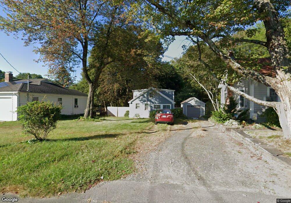
14 Laurel St Northampton, MA 01060
Florence NeighborhoodEstimated Value: $241,728 - $308,000
1
Bed
1
Bath
793
Sq Ft
$343/Sq Ft
Est. Value
About This Home
This home is located at 14 Laurel St, Northampton, MA 01060 and is currently estimated at $272,182, approximately $343 per square foot. 14 Laurel St is a home located in Hampshire County with nearby schools including Northampton High School, Hilltown Cooperative Charter Public School, and The Montessori School of Northampton.
Ownership History
Date
Name
Owned For
Owner Type
Purchase Details
Closed on
Mar 1, 1999
Sold by
Stiepock Lisa T
Bought by
Parker John H and Parker Lesley A
Current Estimated Value
Purchase Details
Closed on
Sep 1, 1995
Sold by
Brown Michael and Porter Anne-Marie
Bought by
Stiepock Lisa T
Home Financials for this Owner
Home Financials are based on the most recent Mortgage that was taken out on this home.
Original Mortgage
$71,100
Interest Rate
7.61%
Mortgage Type
Purchase Money Mortgage
Purchase Details
Closed on
Sep 20, 1989
Sold by
Parack Elyse
Bought by
Brown Michael
Home Financials for this Owner
Home Financials are based on the most recent Mortgage that was taken out on this home.
Original Mortgage
$58,875
Interest Rate
9.82%
Mortgage Type
Purchase Money Mortgage
Create a Home Valuation Report for This Property
The Home Valuation Report is an in-depth analysis detailing your home's value as well as a comparison with similar homes in the area
Home Values in the Area
Average Home Value in this Area
Purchase History
| Date | Buyer | Sale Price | Title Company |
|---|---|---|---|
| Parker John H | $89,650 | -- | |
| Stiepock Lisa T | $79,000 | -- | |
| Brown Michael | $85,875 | -- |
Source: Public Records
Mortgage History
| Date | Status | Borrower | Loan Amount |
|---|---|---|---|
| Previous Owner | Brown Michael | $71,100 | |
| Previous Owner | Brown Michael | $58,875 |
Source: Public Records
Tax History
| Year | Tax Paid | Tax Assessment Tax Assessment Total Assessment is a certain percentage of the fair market value that is determined by local assessors to be the total taxable value of land and additions on the property. | Land | Improvement |
|---|---|---|---|---|
| 2025 | $2,676 | $192,100 | $0 | $192,100 |
| 2024 | $2,702 | $177,900 | $99,500 | $78,400 |
| 2023 | $2,371 | $149,700 | $90,400 | $59,300 |
| 2022 | $2,319 | $129,600 | $84,500 | $45,100 |
| 2021 | $2,223 | $128,000 | $80,300 | $47,700 |
| 2020 | $2,150 | $128,000 | $80,300 | $47,700 |
| 2019 | $2,086 | $120,100 | $75,100 | $45,000 |
| 2018 | $2,041 | $119,800 | $75,100 | $44,700 |
| 2017 | $1,999 | $119,800 | $75,100 | $44,700 |
| 2016 | $1,936 | $119,800 | $75,100 | $44,700 |
| 2015 | $1,956 | $123,800 | $78,500 | $45,300 |
| 2014 | $1,905 | $123,800 | $78,500 | $45,300 |
Source: Public Records
Map
Nearby Homes
- 18 Cedar St
- 283 South St
- 23 Ford Crossing
- 57 Columbus Ave
- 12 School St
- 61 Harrison Ave
- 218 Elm St
- 244 Main St
- 231 Main St Unit 3R
- 43 Center St Unit K
- 23 Randolph Place Unit 109
- 296 Old Wilson Rd
- 29 Pleasant St Unit 1
- 63 Riverside Dr
- 61 Woodlawn Ave
- 61 Crescent St Unit 8
- 61 Crescent St Unit 7
- 635 Florence Rd
- 8 Hockanum Rd Unit 10
- 37 Finn St
Your Personal Tour Guide
Ask me questions while you tour the home.