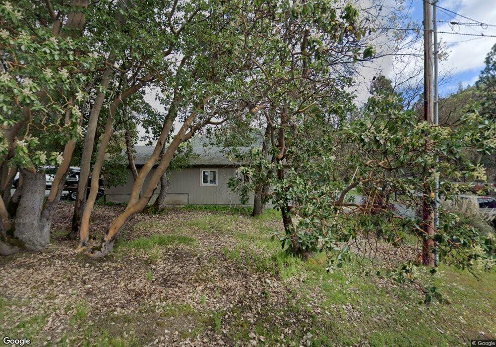
14 Lillie Mae Ln Rogue River, OR 97537
Estimated Value: $417,000 - $517,502
3
Beds
2
Baths
1,704
Sq Ft
$276/Sq Ft
Est. Value
About This Home
This home is located at 14 Lillie Mae Ln, Rogue River, OR 97537 and is currently estimated at $470,501, approximately $276 per square foot. 14 Lillie Mae Ln is a home located in Jackson County with nearby schools including South Valley Academy, Rogue River Elementary School, and Rogue River Junior/Senior High School.
Ownership History
Date
Name
Owned For
Owner Type
Purchase Details
Closed on
Apr 20, 2005
Sold by
Ebel Daniel M and Ebel Janice
Bought by
Ebel Daniel M and Ebel Janice
Current Estimated Value
Home Financials for this Owner
Home Financials are based on the most recent Mortgage that was taken out on this home.
Original Mortgage
$20,000
Outstanding Balance
$10,361
Interest Rate
5.84%
Mortgage Type
Credit Line Revolving
Estimated Equity
$460,140
Purchase Details
Closed on
Feb 10, 2003
Sold by
Ebel Daniel and Ebel Janice
Bought by
Ebel Daniel M
Home Financials for this Owner
Home Financials are based on the most recent Mortgage that was taken out on this home.
Original Mortgage
$110,000
Interest Rate
5.76%
Purchase Details
Closed on
Jan 25, 2001
Sold by
Lafrance Kotrba Patricia L
Bought by
Ebel Daniel and Ebel Janice
Create a Home Valuation Report for This Property
The Home Valuation Report is an in-depth analysis detailing your home's value as well as a comparison with similar homes in the area
Home Values in the Area
Average Home Value in this Area
Purchase History
| Date | Buyer | Sale Price | Title Company |
|---|---|---|---|
| Ebel Daniel M | -- | -- | |
| Ebel Daniel M | -- | Amerititle | |
| Ebel Daniel M | -- | First American Title Ins Co | |
| Ebel Daniel | $49,000 | Crater Title Insurance |
Source: Public Records
Mortgage History
| Date | Status | Borrower | Loan Amount |
|---|---|---|---|
| Open | Ebel Daniel M | $20,000 | |
| Closed | Ebel Daniel M | $110,000 |
Source: Public Records
Tax History Compared to Growth
Tax History
| Year | Tax Paid | Tax Assessment Tax Assessment Total Assessment is a certain percentage of the fair market value that is determined by local assessors to be the total taxable value of land and additions on the property. | Land | Improvement |
|---|---|---|---|---|
| 2025 | $2,660 | $240,250 | $86,490 | $153,760 |
| 2024 | $2,660 | $233,260 | $97,360 | $135,900 |
| 2023 | $2,573 | $226,470 | $94,520 | $131,950 |
| 2022 | $2,451 | $226,470 | $94,520 | $131,950 |
| 2021 | $2,377 | $219,880 | $91,770 | $128,110 |
| 2020 | $2,318 | $213,480 | $89,090 | $124,390 |
| 2019 | $2,259 | $201,240 | $83,980 | $117,260 |
| 2018 | $2,199 | $195,380 | $81,530 | $113,850 |
| 2017 | $2,145 | $195,380 | $81,530 | $113,850 |
| 2016 | $2,089 | $184,170 | $76,850 | $107,320 |
| 2015 | $2,023 | $184,170 | $76,850 | $107,320 |
| 2014 | $1,955 | $173,610 | $72,450 | $101,160 |
Source: Public Records
Map
Nearby Homes
- 50 Tenney Dr
- 970 Wards Creek Rd
- 500 Tenney Dr
- 1913 Wards Creek Rd
- 431 Robbins Ave
- 429 Robbins Ave
- 5525 Red Tail Ln
- 5500 Red Tail Ln
- 2661 Wards Creek Rd
- 182 Wards Creek Rd
- 713 Brookside Cir
- 105 Brolin Ct
- 305 Woodville Way
- 300 Woodville Way
- 904 Broadway St Unit 503
- 419 E Main St
- 111 Cedar St
- TL 1303 E Main St
- 4529 E Evans Creek Rd
- 622 Pine St
- 1255 Burbridge Dr
- 26 Lillie Mae Ln
- 0 Burbridge Dr
- 9 Lillie Mae Ln
- 1214 Burbridge Dr
- 36 Lillie Mae Ln
- 0 Lillie Mae Ln
- 25 Lillie Mae Ln
- 1285 Burbridge Dr
- 1270 Burbridge Dr
- 21 Lillie Mae Ln
- 1200 Burbridge Dr
- 1244 Burbridge Dr
- 1280 Burbridge Dr
- 42 Lillie Mae Ln
- 33 Lillie Mae Ln
- 1315 Burbridge Dr
- 137 Tenney Dr
- 1320 Burbridge Dr
- 1325 Burbridge Dr