14 Lookout Ln Pembroke, MA 02359
Estimated Value: $869,000 - $911,000
4
Beds
3
Baths
2,284
Sq Ft
$389/Sq Ft
Est. Value
About This Home
This home is located at 14 Lookout Ln, Pembroke, MA 02359 and is currently estimated at $888,359, approximately $388 per square foot. 14 Lookout Ln is a home located in Plymouth County with nearby schools including Pembroke High School, Cadence Academy Preschool - Hanover, and Cardinal Cushing Centers.
Ownership History
Date
Name
Owned For
Owner Type
Purchase Details
Closed on
Dec 28, 2016
Sold by
Smith Keri A and Smith Paul F
Bought by
Smith Paul F and Smith Kerri A
Current Estimated Value
Purchase Details
Closed on
Apr 13, 2001
Sold by
Sykes Jane E
Bought by
Smith Paul F and Smith Kerri A
Home Financials for this Owner
Home Financials are based on the most recent Mortgage that was taken out on this home.
Original Mortgage
$185,500
Interest Rate
6.97%
Mortgage Type
Purchase Money Mortgage
Create a Home Valuation Report for This Property
The Home Valuation Report is an in-depth analysis detailing your home's value as well as a comparison with similar homes in the area
Home Values in the Area
Average Home Value in this Area
Purchase History
| Date | Buyer | Sale Price | Title Company |
|---|---|---|---|
| Smith Paul F | -- | -- | |
| Smith Paul F | $310,000 | -- |
Source: Public Records
Mortgage History
| Date | Status | Borrower | Loan Amount |
|---|---|---|---|
| Previous Owner | Smith Paul F | $186,000 | |
| Previous Owner | Smith Paul F | $185,500 |
Source: Public Records
Tax History Compared to Growth
Tax History
| Year | Tax Paid | Tax Assessment Tax Assessment Total Assessment is a certain percentage of the fair market value that is determined by local assessors to be the total taxable value of land and additions on the property. | Land | Improvement |
|---|---|---|---|---|
| 2025 | $8,996 | $748,400 | $332,200 | $416,200 |
| 2024 | $8,905 | $740,200 | $327,000 | $413,200 |
| 2023 | $8,346 | $656,100 | $302,200 | $353,900 |
| 2022 | $7,835 | $553,700 | $240,400 | $313,300 |
| 2021 | $7,827 | $536,800 | $235,200 | $301,600 |
| 2020 | $7,691 | $530,800 | $235,200 | $295,600 |
| 2019 | $7,430 | $508,900 | $224,800 | $284,100 |
| 2018 | $7,234 | $485,800 | $224,800 | $261,000 |
| 2017 | $7,444 | $493,000 | $210,000 | $283,000 |
| 2016 | $7,363 | $482,500 | $200,000 | $282,500 |
| 2015 | $6,984 | $473,800 | $190,000 | $283,800 |
Source: Public Records
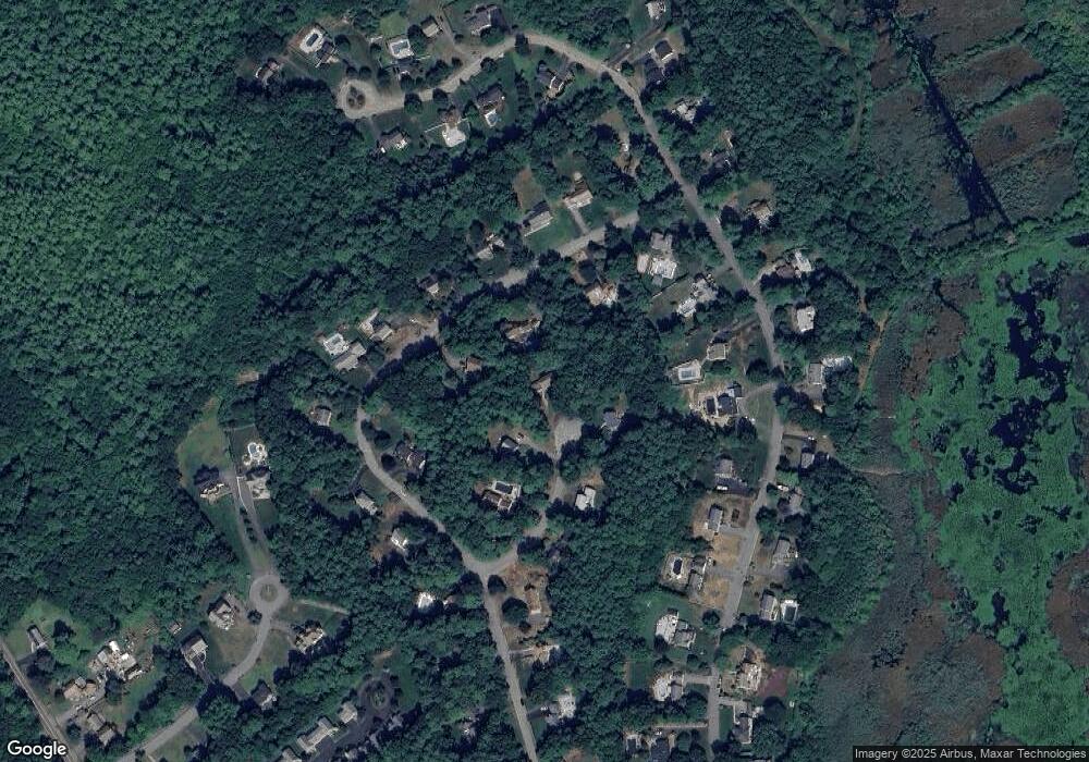
Map
Nearby Homes
- 330 Pleasant St
- 33 Barker Square Dr Unit 33
- 599 Washington St Unit 14
- 40 Brisan Way
- 100 Fairwood Dr
- 261 Washington St
- 30 Old Washington St Unit 9
- 99 Old Washington St
- 172 Washington St
- 218 Schoosett St
- 26 Pierce Dr
- 387 North St
- 290 High St
- 77 Old Cart Path Ln Unit Lot 4
- 78 Old Cart Path Ln Unit Lot 3
- 72 Old Cart Path Ln Unit Lot 2
- 55 Shipyard Ln
- 5 Royal Dane Dr Unit 46
- 5 Royal Dane Dr Unit 45
- 204 Center St Unit 9
- 165 Sunset Way
- 25 Lookout Ln
- 6 Lookout Ln
- 175 Sunset Way
- 135 Sunset Way
- 11 Lookout Ln
- 254 Edgewater Dr
- 2 Lookout Ln
- 252 Edgewater Dr
- 117 Sunset Way
- 246 Edgewater Dr
- 262 Edgewater Dr
- 238 Edgewater Dr
- 168 Sunset Way
- 5 Lookout Ln
- 176 Sunset Way
- 140 Sunset Way
- 134 Sunset Way
- 232 Edgewater Dr
- 182 Sunset Way