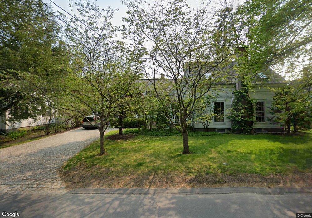
14 Main St Freeport, ME 04032
Estimated Value: $1,214,000 - $2,034,702
4
Beds
4
Baths
3,408
Sq Ft
$507/Sq Ft
Est. Value
About This Home
This home is located at 14 Main St, Freeport, ME 04032 and is currently estimated at $1,726,567, approximately $506 per square foot. 14 Main St is a home located in Cumberland County with nearby schools including Morse Street School, Mast Landing School, and Freeport Middle School.
Create a Home Valuation Report for This Property
The Home Valuation Report is an in-depth analysis detailing your home's value as well as a comparison with similar homes in the area
Home Values in the Area
Average Home Value in this Area
Tax History
| Year | Tax Paid | Tax Assessment Tax Assessment Total Assessment is a certain percentage of the fair market value that is determined by local assessors to be the total taxable value of land and additions on the property. | Land | Improvement |
|---|---|---|---|---|
| 2025 | $19,209 | $1,386,900 | $572,000 | $814,900 |
| 2024 | $18,152 | $1,359,700 | $544,800 | $814,900 |
| 2023 | $16,529 | $1,202,100 | $495,200 | $706,900 |
| 2022 | $16,439 | $1,204,300 | $497,400 | $706,900 |
| 2021 | $15,920 | $1,192,500 | $485,500 | $707,000 |
| 2020 | $16,521 | $1,180,100 | $524,400 | $655,700 |
| 2019 | $15,897 | $1,111,700 | $494,800 | $616,900 |
| 2018 | $15,587 | $1,035,700 | $458,500 | $577,200 |
| 2017 | $14,603 | $976,800 | $425,900 | $550,900 |
| 2016 | $14,220 | $900,000 | $391,900 | $508,100 |
| 2015 | $14,557 | $866,500 | $384,300 | $482,200 |
| 2014 | $13,691 | $866,500 | $384,300 | $482,200 |
| 2013 | $13,067 | $824,400 | $355,800 | $468,600 |
Source: Public Records
Map
Nearby Homes
- 20 Harvest Ridge Rd Unit 23
- 26 Harvest Ridge Rd Unit 24
- 15 Linwood Rd Unit 15
- 67 Farmview Ln
- 58 Maquoit Dr
- 200 Sisquisic Trail
- 10 Durham Rd
- 212 Main St
- 11 Orchard Hill Rd
- 203 Bluff Rd Unit 13
- 42 Durham Rd
- 5 Arrowhead Ridge Rd
- 9 Gables Dr Unit 9
- 52 Blueberry Cove Rd Unit 52
- 304 Pownal Rd
- 0 Bayview St
- 172 E Main St
- 6 Daybreak Ln Unit 18
- 109 Melissa Dr
- 16 Rocky Hill Rd
Your Personal Tour Guide
Ask me questions while you tour the home.